
Waid: A Hillside Walk for a Wide View of Zurich
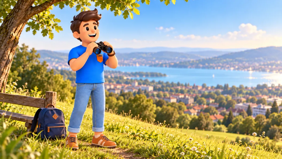
Choose Waid when you want to see how Zurich fits together rather than visit a single monument. From the open Käferberg slope, the city becomes a broad landscape, the lake continues beyond it and, in clear air, mountains form a distant horizon. This is a place to linger without entering several institutions in succession. The panorama is the main subject; the approach and a pause help you settle into its scale.
Our walking option begins at Bucheggplatz towards Obere Waidstrasse and Waidbadstrasse, then reaches the public Waid viewpoint. Allow roughly ninety minutes to two hours for an unhurried outing with a view and a clear return, excluding a substantial meal. This is an estimate. For a shorter visit, travel to Waidbadstrasse stop and allow around forty to sixty minutes for the final approach and panorama. Travel from other districts is additional.
Choose the uphill walk or the short visit
The first choice concerns effort rather than photography. Walking lets you feel residential streets give way to a more open hillside. The bus-assisted version leaves more energy for the view and works when Waid is only a small part of the day. Both are useful. There is no need to begin a full uphill approach simply because a map makes the viewpoint appear close to the centre.
To choose a suitable pace and connect the panorama with the rest of your trip, prepare a personal plan in RoadMe around your interests. Give green walks more time or keep a brief excursion for the view, preserving energy for the city experiences you actually want.
Decide what follows before leaving. If a museum or evening meeting matters afterwards, choose when the return begins. If the afternoon is free, allow extra time to sit and watch the light. These alternatives need no different list of attractions. They change the distribution of time in the same place, rather than require a compulsory number of new stops to justify the journey.
From Bucheggplatz towards the upper streets
Bucheggplatz is a transport interchange, so begin by finding the correct pedestrian connection. Use designated crossings or the pedestrian bridge towards Obere Waidstrasse, continuing towards Waidbadstrasse. A municipal walking scheme links these streets with the Waid area. Check the precise approach on a current map, particularly if you want to avoid steps. Several nearby exits at a complex junction are not always interchangeable for the same walk.
Stay on public paths through the residential setting. This is not a tour of private courtyards. Notice changing distance: nearby façades and trees hold your attention first, then more open space appears. That gradual reveal prepares the panorama better than constantly checking the remaining metres to a photograph. Small pauses also keep the viewpoint from becoming a place where you must recover from an unnecessarily hurried climb.
The destination is the panoramic point on Waidbadstrasse, not any institution carrying Waid in its name. Different urban addresses and grounds share the neighbourhood. Do not use a service area as a shortcut, and identify your destination specifically as Aussichtspunkt Waid. If your phone suggests a driving approach, switch to pedestrian mode and check the final connection to the public open area rather than assuming the vehicle entrance is equally useful.
For the bus-assisted version, search for Zürich, Waidbadstrasse with a current connection from your starting point. It reduces the climb but does not eliminate the final walking minutes. We do not prescribe a fixed transfer between particular departures: that depends on day and interchange. Check the return direction too, so the right stop name does not leave you waiting on the wrong side of the route after the visit.
The public viewpoint and restaurant are separate spaces
Waid is a publicly accessible vantage point on the Käferberg slope above Höngg. Zurich Tourism describes it as open to visitors throughout the day and night. This is access information, not a recommendation to discover unfamiliar green paths for the first time after dark. Daylight makes a first visit easier to understand, including the approach, the position of the viewing area and the directions available for returning.
The restaurant of the same name is nearby, but enjoying the panorama does not require ordering a meal. Distinguish public ground from the establishment's seating. An open slope, a serviced table and a passage to that table have different functions. If you simply want to pause and look, choose an appropriate public place instead of assuming that restaurant furniture automatically forms part of a city park.
Do not plan for perfect emptiness. In pleasant weather, residents and travellers come to photograph, talk and relax. When the convenient place is occupied, wait a little or choose another available position. Preserving a wide view matters more than obtaining exactly one frame. A ninety-minute to two-hour outing permits flexibility and need not treat other people as interruptions to the ordinary life of a popular public place.
Read a large city landscape in layers
Begin with three layers. The nearby slope and trees establish your position; the city below shows the density of districts; the lake extends the scene beyond the buildings. Only then look for familiar parts of Zurich. This order reveals relationships rather than turning the visit into a debate over every roof. If previous walks stayed in the Old Town, the panorama gives that area a wider setting and changes your sense of distance.
Recognising every object is unnecessary. Choose one question: where does dense building give way to greenery, how does the broad water horizon differ from a river corridor, or why do neighbouring quarters feel different from above? These are observation tasks, not promises that every landmark is always visible. Trees, position and air conditions shape the actual scene as much as your memory of a city map.
In clear conditions, the Alps are visible in the distance, but their absence does not make the excursion unsuccessful. Haze may leave mainly city and lake, while cloud changes the depth of the view. Sometimes reduced distance encourages a closer look at nearby districts. Match expectations to present visibility. A photograph from another season does not prove that today's horizon will have identical clarity, colour or detail.
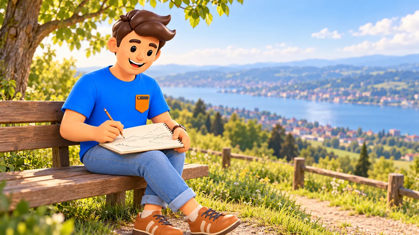
With binoculars, identify an area with your own eyes first and then bring it closer. Avoid private windows and people going about daily life. The value of a broad view lies in spatial relationships, not observing somebody else's privacy. A note or sketch needs only a few lines: slope, city outline and water beyond. Artistic skill is not a condition for making that small personal observation.
Choose light without making sunset a promise
Waid is often chosen for sunrise and sunset photographs. Those periods can produce striking light, but the result depends on cloud, haze and season. A clear daytime visit is often easier for a first outing: you can orient yourself and distinguish the city. If understanding the panorama is the main purpose, waiting for the latest light is not essential, particularly if it turns the return into a rush.
For an evening visit, check the journey back and the path from the viewpoint to the stop in advance. Public access does not describe the lighting of every approach. Avoid making a long unfamiliar descent through green areas a compulsory continuation after darkness. Photography time and return time belong in the same plan. Otherwise a pleasant pause can end with avoidable pressure over finding a route you have not yet used.
Try one wide image and then a closer fragment of greenery or urban rhythm. Many nearly identical frames are not required. Put the camera away for a few minutes and notice what remains interesting without a screen. The memory may concern a familiar street becoming part of a much larger city rather than the exact colour of the sky. That outcome remains valuable without ideal photographic weather.
A food break should not consume the whole route
For a restaurant stop, check current operation and seating arrangements separately. Kitchen hours and overall opening hours can differ, and a view from the neighbouring slope does not guarantee a free table. Enlarge the outing for a relaxed meal rather than hiding it inside a brief viewpoint pause. A coffee break also depends on the particular day's conditions and service, not solely on the presence of a restaurant name nearby.
Eating here is not compulsory. Your own water and a short rest in an appropriate place may be enough, with no litter left behind. That works particularly well when the main purpose is walking rather than a long meal. Lack of a table then does not change the trip's central aim. The panorama remains an independent city experience, while the restaurant is one possible addition to it.
If you want a longer rest or an earlier return to city activities, reshape your personal route in RoadMe around your interests and pace. Give the panorama a suitable place in the trip and keep the remaining time for choices you value rather than accidental obligations.

A small green extension within your energy
After the view, an available public path near the green edge can add a short walk before returning to a clear reference point. Use signs and a map instead of calling every side path a short loop. Käferberg has a wider path network for a longer outing, but that is a separate choice. This route does not promise the whole woodland or every neighbouring quarter within the same two-hour allowance.
Check conditions with particular care on wet surfaces and in the colder season. A convenient urban destination does not make every slope equally easy. With reduced mobility or a pushchair, the actual approach, steps and surface matter; this article does not certify a fully step-free route. A bus can reduce the climb, while the final sections still need planning according to your particular requirements.
With children, choose one clear task and a return point: the general view, a short pause and then back. The end need not become a search for an ever more distant viewpoint that will supposedly be better. Waid already provides its main impression without a long chain of additional addresses. Preserving energy can improve the remainder of the day more than adding another unplanned loop after the original purpose has been met.
Return with one new understanding of Zurich
At the finish, identify what changed in your picture of the city: the scale of the lake, the proximity of green slopes or the position of a familiar quarter. One observation can make the journey meaningful. Return by the checked path or a current bus connection. For a downhill walk, reconsider pace and surface conditions rather than automatically transferring the time used for the climb to the return.
For a more central view with the university quarter, choose the separate Polyterrasse walk. You need not add it on the same day to compare every panorama. Waid has its own broad city landscape and quiet hillside pause. Sometimes keeping one view in memory is more rewarding than collecting several similar photographs from different heights in quick succession.


