Why Does Bruges Have So Many Canals? Read the City Through Water
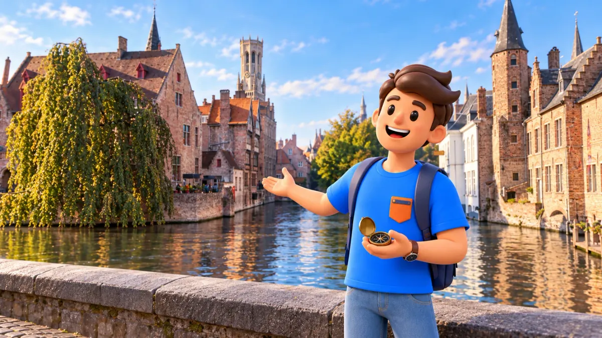
Bruges' canals help explain how the city traded, marked its boundaries and managed water. Look beyond reflections: a quay, a gate and a small technical building tell different parts of urban history. For an initial visit, choose one subject and a short outing around it. You do not need to follow the entire water network to understand something worthwhile.
Jan van Eyckplein introduces cargo and commerce; the city gates suggest boundaries; Minnewater and the Sashuis bring water control into view. These are three possible outings, rather than a compulsory sequence for one hour. Water was not decoration added to an already finished old town. It was among the forces that helped shape the city itself.
Ask what the water did, as well as where it looks best
A familiar visitor's question is where to take a good photograph. For one pause, replace it with another: what did the water allow people here to do? Transport, unload, cross a boundary or maintain a level? The answer may not be immediately visible, but the question connects façades with urban life. A waterfront becomes more than a gap between famous attractions.
RoadMe makes it much easier to develop a personalised plan for your whole trip around your interests, available time and pace. Try planning Bruges in the app so a favourite subject, whether water, commerce or architecture, becomes part of a considered itinerary rather than a collection of unrelated stops.
No historical expertise is required. Notice scale and relationships: how closely a building meets water, where a crossing lies and where a street leads from a bridge. Then compare your observation with the history of that specific place. An opening does not itself prove cargo handling, and a large house is not automatically a medieval warehouse.
Keep the pleasure of the view too. Historical explanation does not need to replace a photograph or an enjoyable pause. One reliable fact can change how you see a familiar composition. A useful walk grows from a few questions that make you look closely and talk with companions, rather than from accumulating the largest possible number of details.
The Reie: a river shaped over time
The local canal name, reien, comes from the Reie. People repeatedly adapted its waterways, so the network was not simply dug in one operation to decorate an old centre. Natural water and urban work interacted across different periods.
That changes how to read a map. A straight line may suggest an engineering form; a bend can belong to a more complicated story. Neither shape dates a stretch by itself. Avoid assigning a century to every curve from its appearance alone. For a visitor's walk, understanding the difference between today's visible form and the long process behind it is already useful.
Nor should every water space be treated as the same reflecting canal. Some show a narrow line between houses; others offer a broad surface and open banks. Buildings dominate one setting, open space another. Comparing those scales can teach more than memorising the names of every stretch before you have even begun your first outing.
The old harbour: commerce becomes a city scene
Jan van Eyckplein was once a busy harbour, with merchants and workers handling goods around the Toll House and commercial-quarter buildings. Its present name honours a painter. Read its earlier role through the relationship between water, buildings and shared space.
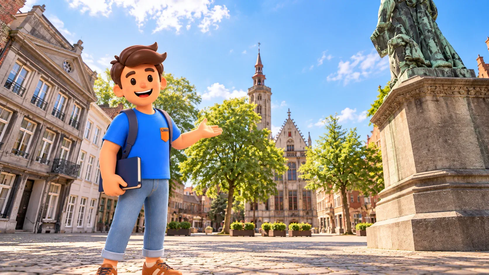
Look at the whole setting before concentrating on the monument. Moving cargo needs more than boats: unloading space, labour, records, negotiation and connections to streets all matter. You need not reconstruct each historical action precisely. Recognising an urban port as a district of work and agreements, rather than merely a place where water ends, is enough to change the view.
The Burghers' Lodge connects with Bruges' own commercial elite. It should not automatically be called the headquarters of the Hanseatic League. Different groups met in a trading city, and not every foreign merchant was Hanseatic. For a short outing, that distinction is useful: international commerce grew through relationships, rather than one organisation controlling every neighbouring house.
Notice how the square's meaning changes when you briefly set aside the present visitor attraction. The painter's statue directs today's gaze; the former harbour raises another question about how goods arrived and what happened after unloading. Those are not competing correct versions. One place can hold several histories, which become noticeable when you shift your attention.
A quay connects movement and stationary buildings
Beside water, façades easily take all your attention. The trading theme asks you to see the space between them too. Where can movement pause, how does a street meet the bank and how does one section lead visually to another? These are observational questions, not proof of every current feature's function. Steps, railings and windows need not all survive from the period you are considering.
Choose one small waterfront section and compare it with the square. A square gathers buildings and people in one view; a quay directs attention along a line. That comparison reveals spatial organisation without a detailed catalogue of objects. With children, look for differences in shape rather than dates: broad edge, narrow passage, bend and bridge.
Respect private doors and do not assume a visible garden is an open route. A building's water-facing side can be interesting partly because it is not arranged for continuous public passage. Public quays provide enough to observe. Understanding the relationship between city and water does not require turning every property into an attraction you can enter.
At a gate: water makes a boundary visible
At Kruispoort, attention moves from exchange to separation. Gate, bridge and water make entry into a fortified city readable as a controlled crossing. That is a different purpose from unloading in a harbour. Look at how the elements relate, rather than only admiring the striking round towers as an isolated architectural object.
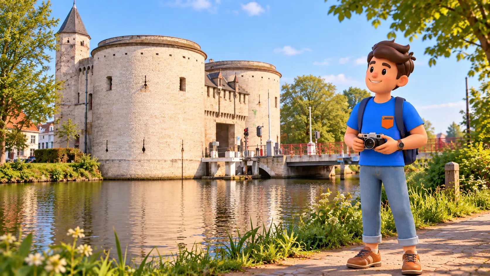
Today's green ramparts are not a complete surviving medieval stone wall. Their promenade character also reflects later changes. Trees and paths do not cancel defensive history, but neither do they make the present landscape an unchanged fortress. The city's requirements altered, giving an earlier boundary new uses and creating another historical layer worth noticing.
You need not complete the entire belt to understand this. One chosen entrance and a short nearby section provide enough for a pause. Consider how water changes the experience of approaching the gate, then compare it with an ordinary street. The purpose is not reconstructing every missing structure mentally, but grasping the basic idea of a crossing.
The modern bridge still belongs to everyday city movement. Follow marked crossings and keep narrow passages clear for photographs. If fortifications interest you, give them a separate outing. Adding a complete circuit to a short harbour visit merely because both involve water is not the most comfortable way to keep a day unhurried.
Minnewater and the Sashuis: water needs management
At the Sashuis, sluices were established in the twelfth–thirteenth centuries to control city water levels. The present building is sixteenth-century and regulated water until the 1970s. Its historic openings are now closed; do not expect working gates.
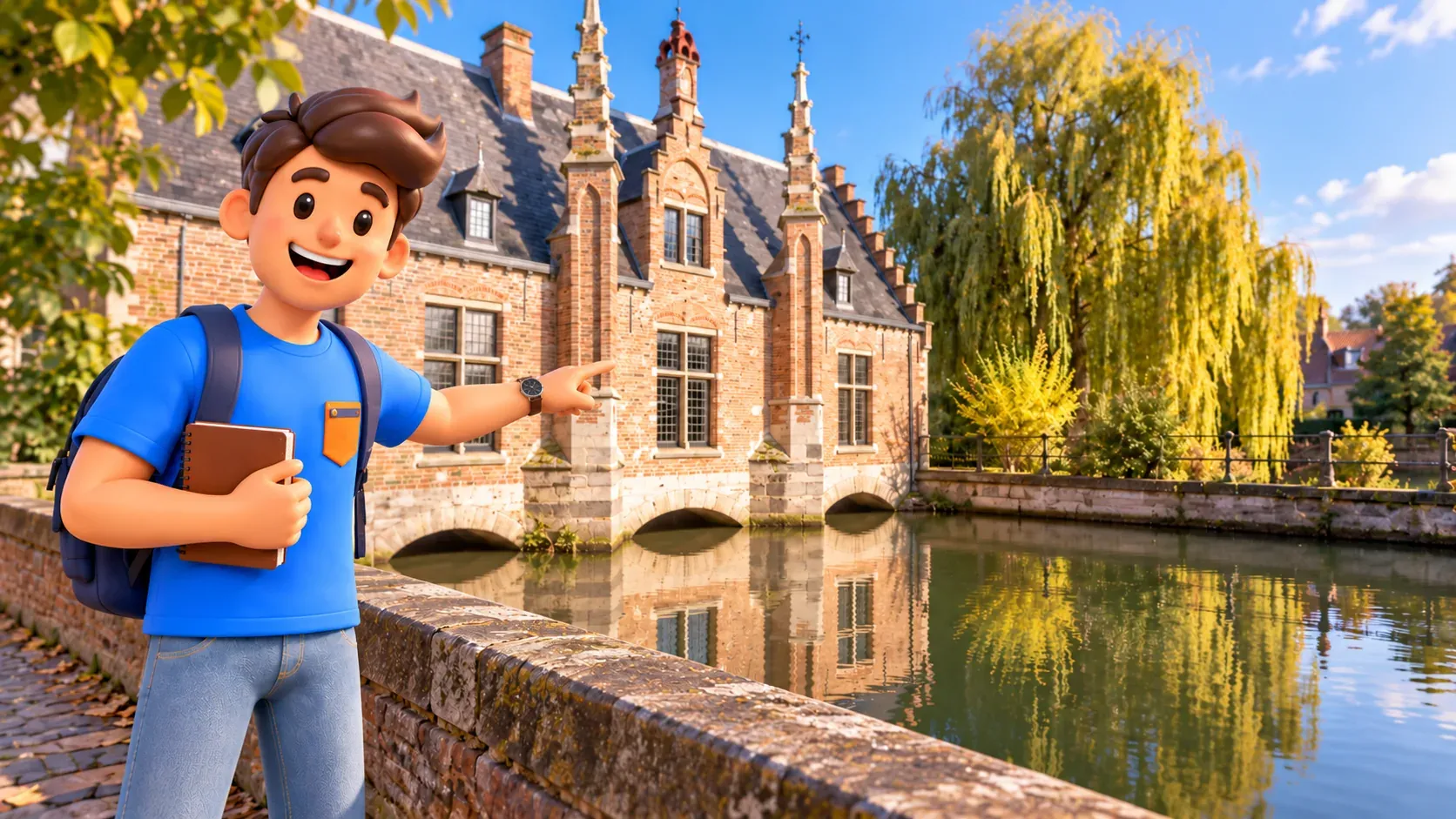
Compare the modest building with the broad water beside it. A romantic view can hide a practical requirement: the city needed not merely to possess water, but to organise it. Maintenance becomes another participant in the walk. A calm reflection looks different when you understand that urban water arrangements are not simply something that happens without human decisions.
The name Lake of Love invites a legend, but today's outing only needs a distinction between a story of emotions and an engineering function. You do not have to choose between enjoying the setting and attending to facts. Trees and water can be attractive while the structure nearby recalls practical work rather than only a visitor's romantic image.
Do not carry an earlier function into the present without checking. Visible arches and historic purpose do not mean visitors are watching an operating mechanism or can approach controls. An exterior view from public space is enough here. A surviving trace can be more thought-provoking than a demonstration, raising questions about what changed and why the building remains in the city scene.
Why silting alone is not the whole explanation
The sea connection mattered to Bruges' commerce. But changing trade relationships, political conflict and maintaining the water route cannot be reduced to one canal drying up and a city falling asleep. That turns a long history into an attractive single cause.
For a walk, the useful conclusion is that a visible old centre does not prove the city stopped changing. Buildings and quays experienced repairs, new functions and changing ideas about their value. Water connects periods without freezing them. Looking at a façade's reflection, you encounter both a historical subject and a landscape belonging to the present city.
You need not study the entire economic history to avoid oversimplification. Remembering that several forces acted together is enough, without demanding one date that explains everything. It leaves room for curiosity instead of confidently repeating a legend as a cause. More detailed building histories can remain for a separate visit prompted by a narrower interest.
Walking or boating: two ways of looking
Boat trips take about half an hour and return to their starting point without intermediate stops. Individual tickets are bought at the jetty; allow for weather and waiting. This is an additional perspective, rather than transport between your selected sights.
Walking lets you linger over a relationship between buildings and water, return to a view or finish after a subject you enjoyed. From a boat, viewing height and the sequence of impressions change. Neither approach is compulsory proof that you experienced the canals. If a thoughtful pause at a gate or the Sashuis matters most, a walk on shore already answers your purpose.
With RoadMe, it is much more convenient to develop a personalised itinerary for the whole trip, connecting favourite subjects, walks and rest with your time and pace. Try the app to give the city's water history a suitable place in a considered Bruges plan.
For one outing, allow roughly 60–90 minutes for your chosen subject with pauses, counting approach and return separately. This is an editorial estimate, not a measurement of the entire canal network. Follow the Hanseatic-quarter walk for commerce, or the city-gates and ramparts plan for a longer defensive theme. Do not automatically combine both routes.
At your next bridge, try one answer: does the water here help explain trade, boundaries or control? Even a partial answer changes the view. Bruges becomes more than a succession of attractive reflections: separate places connect, and your walk gains a clear subject of its own without needing to include every canal, building or gate in the city.