
Around Old Bruges: Four City Gates and the Green Ramparts
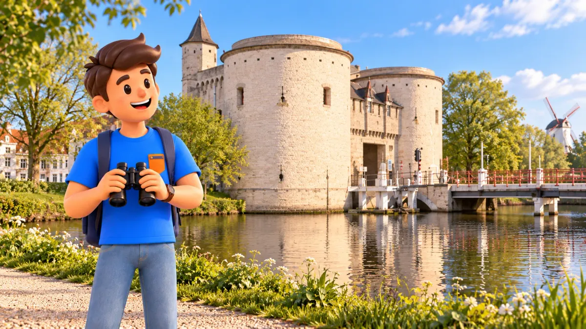
To see all four surviving medieval city gates in Bruges, begin at Smedenpoort, head north to Ezelpoort, continue around the northern and eastern edge to Kruispoort and Gentpoort, then finish at the Gunpowder Tower by Minnewater. Allow around three to four hours for this long, open-ended walk, including stops and rests. The distance is approximately 5.5–6.5 kilometres, excluding your approach and return: an estimate rather than a measured track.
The whole Vesten green belt is about seven kilometres long, but this itinerary does not require completing the circle. It ends on the southern side, leaving you to choose your onward route separately. That is useful while works affect the railway-station area. All gates and towers are exterior stops; museum visits, tower climbs and a long lunch need additional time.
Understand Bruges from its former boundary
In central Bruges, attention usually moves from one building to another. On the ramparts, the subject changes: the outline of the city and the roads that linked it to the world outside. Water, earthworks and gates make that boundary easier to imagine. The Vesten are also a green walking landscape, with trees, paths and everyday journeys alongside their defensive history.
For a more convenient way to fit this longer outing into your whole visit, try RoadMe: the app develops a personal trip plan around your interests, dates and pace. It helps give walking, museums and rest a place across your days, without arranging every separate idea by hand.
Do not expect an uninterrupted stone wall with a walkway on top. Much of the experience comes from the landscape of former defences, and the present promenade took shape largely in the nineteenth century. Green sections connect with streets, bridges and road crossings. The gates provide strong landmarks between them, rather than four interchangeable museum entrances.
Smedenpoort: begin with water and earthworks
Start at Smedenpoort, the Blacksmith’s Gate, on Smedenstraat. First look at the pale yellow gate and its rounded towers as a whole. A newer suspended pedestrian bridge beside it offers a separate viewpoint without requiring you to stop in the roadway. Even here, the modern walk depends on structures from different periods, alongside the medieval monument.
The first gate dates from 1297–1299; the present building was constructed on its remains in 1367 and subsequently altered. That sequence provides enough context for the start: an old location does not make the current appearance identical to its first version. If you notice the small bronze skull, keep it as a detail to explore another time. Today’s subject is the city boundary rather than a collection of legends.
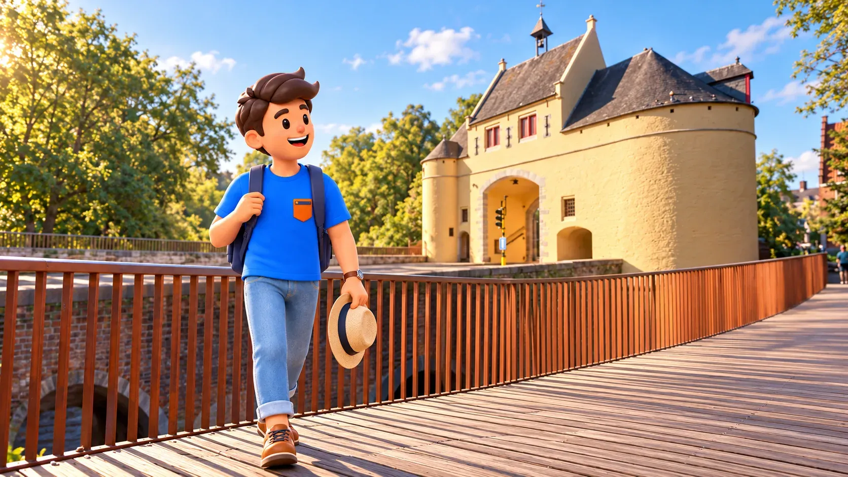
The western ramparts are particularly helpful for understanding the defensive landscape, with double embankments and moats still readable. Look beyond the water beside the gate to the space between it, the paths and the houses. You begin to see an arrangement of obstacles, rather than a single wall. Specialist military vocabulary is unnecessary to appreciate that difference.
Continue north on available pedestrian paths along the western belt, following the direction of Gulden-Vlieslaan and the Bloedput area towards Ezelpoort. Use marked crossings where the green route meets streets. A visible strip beside the water is not automatically a public continuation. Current pedestrian connections matter more than keeping exactly to an imagined historical line.
Ezelpoort: a different silhouette on the water
Ezelpoort, the Donkey’s Gate, creates a more compact scene. Brick towers stand beside water, and the bridge approach emphasises the central passage. Compare it with yellow Smedenpoort: materials, proportions and setting give the two places different characters within the same defensive belt. A view of the whole arrangement is more useful than looking for identical details at every gate.
A gate was built here in 1297 and rebuilt in 1369. It was once taller; the upper section was removed in the seventeenth century. Its relatively low silhouette is therefore not a precise copy of the original design. The stop makes alteration part of the story of survival. Entry to the towers is not a requirement of the walk.
For a shorter outing, finish the western section here and return towards the centre along Ezelstraat. You will have compared two gates and part of the green belt without committing to the entire old-town boundary. For the longer version, continue north, but check your time and energy first. Considerably more walking remains than you have completed.
The northern section and the Dampoort area
From Ezelpoort, follow the direction of Koningin Elisabethlaan and Komvest, then Wulpenstraat and Sasplein. Here the walk changes character as green spaces connect with urban approaches and water becomes a prominent landmark again. Follow pedestrian links and local signs. There is no need to cross the ring road simply to stay beside the outer canal.
Dampoort appears on maps and signs, but it is an area reference, not another standing medieval gate. It does not add a fifth monument to the surviving four. Use the indicated pedestrian connection towards Kruisvest and head south. Distinguishing a historic place-name from a building that still exists is particularly useful on this part of the route.
Windmills appear along the eastern ramparts. Within this longer walk, a general view and one short pause are enough. Exploring every mill in detail would change the time allowance. Their line makes the old boundary visible from a distance. You do not need to climb every mound or depend on an open interior; choose suitable public paths for the main route.
Kruispoort: substantial towers and a narrow passage
Walking south along Kruisvest brings you to Kruispoort at the end of Langestraat. Its heavy round towers and narrow entrance give a more imposing impression of defence. Choose a place to see gate, bridge and water together while leaving circulation clear. A close-up of one tower can miss the main point: this was a controlled entrance on a road into the city.
The first gate was built with the second ramparts in 1297–1304. Rebuilding and destruction followed, before a third gate was constructed in 1400. The surviving ensemble includes massive towers, the passage and smaller octagonal turrets. A few different volumes are enough to notice during a walk, without reconstructing every lost part of the original complex.
At Langestraat, decide whether to continue. You can head towards the centre if you have had enough open-air walking. That is preferable to rushing through the remaining sections merely to finish a list. For the longer version, continue south along Kazernevest towards Coupure and the Conzett Bridge, leaving the windmill landscape behind.
From the Conzett Bridge to Gentpoort
Conzettbrug is a modern pedestrian and cycle crossing over Coupure, associated with Bruges’s cultural year of 2002. It reminds you that the walking route itself has developed over time. The deck can rise for boats. If passage is restricted, wait for permission or follow the indicated diversion; a demonstration of the moving bridge is not part of the promised outing.
Continue through the available public connection at Boninvest towards Gentpoort. This is not an uninterrupted landscaped park: urban and service uses remain nearby. Keep to public routes. The city’s plans to transform the area do not mean every proposed green space or new path is already finished. Existing permitted access is what matters for today’s walk.
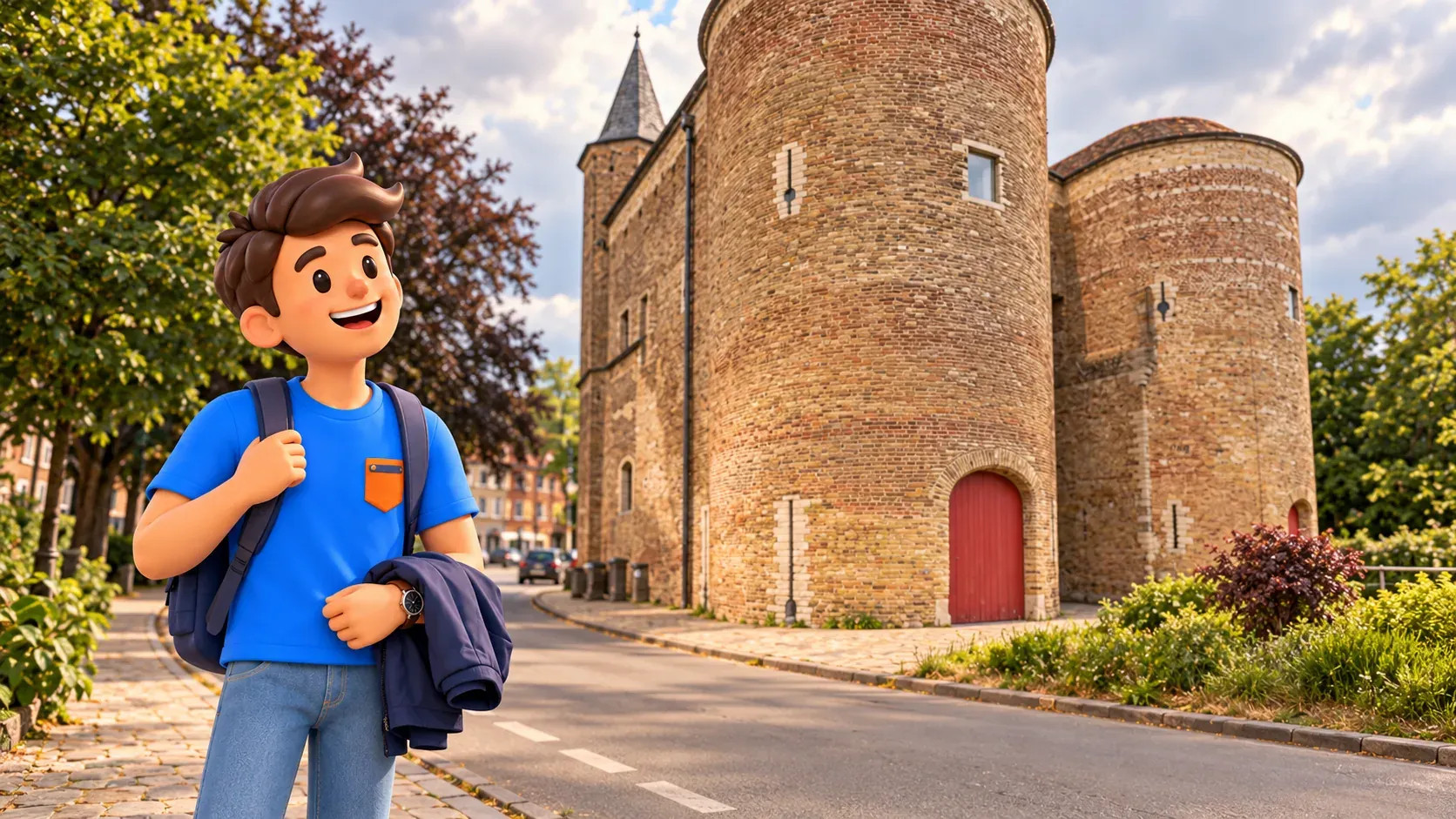
Gentpoort, the Gate of Ghent, introduces another purpose of the boundary: goods, as well as people, passed through it. Look at the building and the direction of the street leading into the old town. The exterior forms a complete stop without museum admission. Do not rely on an older guide’s description of an exhibition inside the gate.
In October 2026, works affect the nearby Gentpoort and Generaal Lemanlaan junction. This itinerary does not require crossing the outer bridge and ring road towards Assebroek: continue on the city side along Gentpoortvest. Follow current pedestrian markings and barriers. Repair of the bridge and completion of all works at the adjoining junction are separate matters.
Southern ramparts and a finish at the Gunpowder Tower
Follow Gentpoortvest towards the Katelijnepoort area, use the marked street crossing and continue along Katelijnevest towards Minnewater. Katelijnepoort is another place-name here, rather than an additional surviving gate. Approach Minnewaterbrug and Poertoren, the Gunpowder Tower. Greenery, water and a broader view provide a natural finish after the larger gate buildings.
Poertoren was built in 1397 as a defensive tower and later used for gunpowder storage. Together with a smaller tower once standing opposite, it formed the Water Gate. Do not count the surviving tower as a fifth surviving city gate today. It is a different element that complements the story of the belt. The walk does not include an interior climb.

The lower garden beside the tower is optional, if accessible and if its metal steps suit you. You can finish the main route above, by the bridge, without descending. Allow a few minutes with no further obligatory landmark. After a long outing, it helps to rest before deciding on dinner, your hotel or onward transport.
Choose how much of the belt to walk
Three to four hours allows for exterior stops, photographs and short rests; it is not a measured moving time. Add more for a museum or long lunch. For less walking, choose the western gates or an eastern and southern section, rather than squeezing all four gates into two hours. A partial route can still make the city’s outline understandable.
To find the right day and pace for this outing, try RoadMe for a personal trip plan based on your interests, dates and preferred rhythm. It is a more convenient way to distribute a longer walk, major visits and breaks across your stay than building the whole schedule manually.
Choose daylight, comfortable footwear and weather suited to several hours outside. Uneven paving, bridge approaches, crossings and possible diversions mean the route cannot be promised as fully step-free. Finishing at Minnewater does not return you to the start. If heading to the station, follow current construction signs and allow additional time.
For a shorter separate outing, consider the walk to the windmills or the western streets route through Sebrechtspark to Ezelpoort. There is no need to combine every option in one day. This longer walk has its own reward: seeing how different parts of Bruges belong to one historic outline.


