
Along the Ill: A Walk on Strasbourg’s Riverside Quays
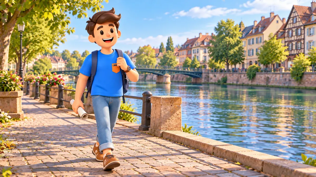
The River Ill offers a way to see Strasbourg without constantly choosing between narrow streets. Stay beside the river, change your viewpoint at bridges and leave time simply to watch the water. Building fronts, the old city's working history and contemporary quays gradually come together as one readable walk.
Begin at Pont Saint-Thomas, follow the quays to Pont du Corbeau, then continue along Quai des Bateliers to Saint-Guillaume. Allow roughly an hour and a half to two hours for the main exterior walk with pauses. Add around twenty to thirty minutes for Quai des Pêcheurs and Pont Royal if desired. Reaching the start, returning, eating and interior visits take separate time.
Choose your stretch beside the Ill
This walk introduces the city through banks and crossings. You do not need to enter every museum or circle the entire Grande Île. The main story is how Strasbourg changes when open water replaces the street immediately in front of you.
In RoadMe, it is easier to turn an Ill riverside walk into a personal plan around your interests, dates, pace and budget. The app works out a route or whole trip, connecting waterside views, cultural stops and rest in a sequence that suits you.
Available upper quays and public crossings form the route's backbone. Lower paths and waterside platforms can provide a separate short pause. They do not form one compulsory, continuous line that lets you complete the entire walk at water level.
Keep four landmarks in mind: Pont Saint-Thomas, Pont du Corbeau, Passerelle de l’Abreuvoir and Pont Saint-Guillaume. They set a rhythm, while the spaces between them matter too. Crossing the river at every bridge is unnecessary; sometimes a view from the bank is enough.
Pont Saint-Thomas: begin with the river's form
At Pont Saint-Thomas, look along the water in both directions first. This makes the old city's position clearer and helps you choose your continuing bank. For this route, use the outer, southern bank towards Quai Charles Frey and Quai Saint-Nicolas, then Corbeau.
Built in 1841 to Antoine-Rémy Polonceau's design, the bridge is an interesting surviving example of early cast-iron urban bridge building. One small detail is enough for this walk: see the curve from below and notice how metal elements leave open spaces above the water.
Observe from an available bank viewpoint rather than standing for a long time in the crossing. The overall silhouette shows how the bridge joins streets; a side view explains what supports the connection. This brief look gives meaning to an everyday structure.
Avoid immediately adding all of Petite France. Its bridges and timber-framed houses form a separate ninety-minute walk. Today you are moving in another direction, beside a more open stretch of the Ill.
Charles Frey and Saint-Nicolas: walk between landmarks
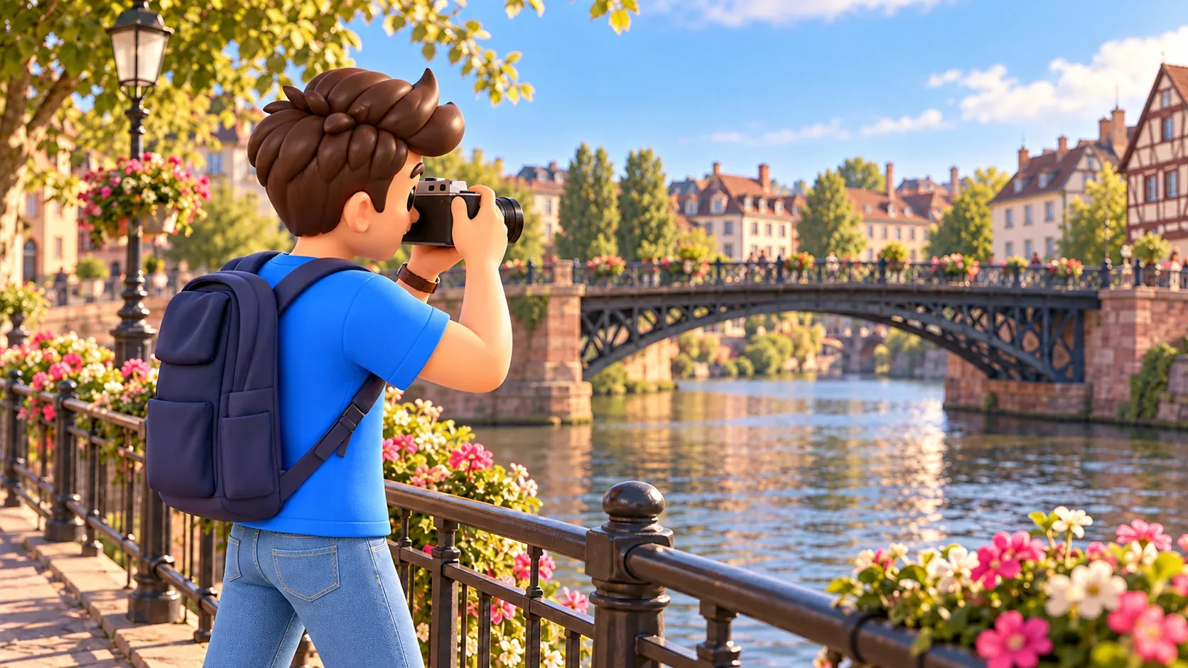
Continue along available upper quays towards Pont du Corbeau. Here, the relationship between water and buildings is especially interesting. The river provides distance between you and the opposite fronts, making a whole line of houses easier to see than individual doorways and shop windows.
Choose a small observation task: follow changing roof heights or find a gap between buildings revealing the depth of a street. This makes the bank feel part of the city. Every attractive detail does not need a separate stop to discover its name.
The quay remains public space used in different ways. At crossings and shared sections, follow current signs and account for bicycles and local vehicles. An open river view does not automatically mean the entire surface belongs exclusively to pedestrians.
Your first pause can be brief: a few minutes watching the current, then continuing in the same direction. After a busy city-centre visit, that interval may be more useful than another unplanned interior stop.
Pont du Corbeau: remember a working river
The former customs house and the former large slaughterhouse, now the Historical Museum, stand near Pont du Corbeau. Their proximity recalls an Ill that served transport, trade and urban supplies, rather than simply providing a beautiful setting.
Consider the relationship between substantial buildings and river. A long waterside volume looks different when you think about moving goods. Reconstructing the entire medieval port is unnecessary; notice how urban functions depended on access to water and a crossing to the opposite bank.
Choose one broad view containing bridge, water and nearby buildings. Then return your attention to the walk. Merchant Strasbourg deserves its own story and need not occupy the whole Corbeau pause.
Continue along Quai des Bateliers after this landmark. It follows the bank you have chosen. If you cross the bridge for another perspective, allow time to regain your main direction afterwards.
Quai des Bateliers: upper quay and closer water
Quai des Bateliers shows the contemporary return of riverbanks to everyday city life. The redesign considered both comfortable movement on the upper level and individual ways of approaching the water. Different scales of walking therefore coexist here.
The upper level supports onward movement and views of fronts opposite. Available descents and platforms provide lower viewpoints. Yet the lower sections should not be treated as a continuous path: returning upwards may be part of your chosen pause.
For a first introduction, retain the upper quay as your main route. Descend only where a connection is open and suits your group. Staying above does not lose the story: buildings, bridges and river remain easy to relate from here.
This choice particularly matters with a buggy or someone who finds steps inconvenient. A descent to the water need not become an obligatory condition of the outing. The actual passage's condition matters more than an attractive line on a diagram.
Notice your own bank too. Planting, ground materials, stopping places and available width change. Experiencing the water depends on where you can comfortably walk or pause, as well as on the monuments opposite.
Abreuvoir footbridge: a small everyday history
Passerelle de l’Abreuvoir connects Quai des Bateliers with a small lane on the Grande Île. Its name recalls an earlier access where horses were watered. A familiar river scene retains the memory of a very practical use of the bank.
The small metal structure offers a different scale from the larger bridges at the beginning. If the crossing is available and you want its viewpoint, walk out briefly and return to Bateliers. Continuing towards Saint-Guillaume does not require permanently changing banks.
Notice the difference between directions. Across the river, your view connects its two sides; along it, water and quay form a perspective. One location can offer quite different impressions without a lengthy extra circuit.
Avoid holding up a narrow passage for repeated similar photographs. Choose one view, let others continue and resume your walk. Small infrastructure is interesting precisely as a working connection, as well as a photographic setting.
Watch reflections without missing the city
A small photo sequence needs only three different images: a broad view along water, a bridge with part of its bank, and a fragment of reflected building. Together they convey the walk better than dozens of similar pictures of one landmark.
Wind, moving water, passing boats and light affect reflections. Avoid planning the entire outing around a promise of perfectly still water. When the surface moves, watch coloured strips break apart and reassemble; that also belongs to the river's character.
For building photographs, a small change of position on your bank can be enough. Crossing every bridge is unnecessary. Let photography occupy a brief part of the walk, followed by looking around without a screen.
Saint-Guillaume: a natural finishing point
At Pont Saint-Guillaume, bridge, quays and the church of the same name meet. This is a clear place to finish the main stretch. You have moved from an early metal crossing, through the river's working history, to contemporary space for walking.
The church stands where Bateliers and Pêcheurs meet. Its front and bell tower seem slightly turned. The impression relates to the old entrance's trapezoidal plan and the later addition of a bell tower in 1667, rather than a photographic trick you need to find.
See its silhouette together with bridge and water. The church's connections with boatmen and fishermen help explain the setting. Religious life and river work belonged to the same urban environment here.
An exterior walk requires no church entrance. Choose a visit separately if its interior or musical programme particularly interests you. Otherwise, retain an unhurried finish beside the water.
Leave time for a real pause
Avoid dividing all your time equally between four bridges. At Saint-Thomas, establish direction and observe the structure. At Corbeau, notice buildings and working river. Reserve a longer pause for Bateliers, where the bank itself becomes the main experience.
Decide what a pause means before starting: coffee at a table, photographs or quietly sitting by water. These activities require different amounts of time. Expecting all three can turn a short walk into a separate half-day outing.
Before a scheduled visit, choose Saint-Guillaume as your finish rather than the longer continuation. Keep the final minutes for reaching your next destination. With no fixed appointment, decide about Pont Royal after completing the main stretch.
This is linear, so returning to Saint-Thomas is not automatically included. You might continue into another district from the eastern end. If belongings or a meeting remain near the start, reserve return time even when the banks seem close together.
On an overcast day, notice bridge forms and the rhythm of fronts instead of waiting for bright reflections. In sunshine, choose a pause with suitable light and available shade. Those decisions can change the walk more than adding further neighbouring sights.
Continue to Pont Royal or finish here
With a comfortable time margin, continue along available Quai des Pêcheurs to Pont Royal, also called the Gallia bridge. This short extension reveals a transition from the compact old city towards Neustadt's larger urban spaces.
Near Pont Royal, the view towards Saint-Paul church is especially interesting. This means the church near the university district, rather than Saint-Paul in Koenigshoffen. The final view shows how the river connects different images of Strasbourg.
If time is limited, save that continuation for another day. You can also start at Corbeau, shortening the western section. The greatest value lies in keeping a clear direction and several real pauses, rather than necessarily reaching every landmark in sequence.
RoadMe works out a personal walking plan or entire trip around your interests and available time. In the app, it is much more convenient to connect quays, other neighbourhoods, chosen visits and rest within one considered programme.
For another waterside story, choose the route from Krutenau to the old docks. This walk can finish wherever you want to linger: the Ill reveals relationships between banks, buildings and people, as well as individual landmarks.


