
Porta Nuova in Two Hours: Milan’s Towers, Squares and Vertical Forest

For a two-hour walk through contemporary Milan, start at Piazza Gae Aulenti, continue into BAM, the Biblioteca degli Alberi park, and finish beside the Bosco Verticale residential towers. The attraction is the contrast: reflective glass, an open botanical landscape and trees growing on balconies. You can enjoy the whole outing outdoors, without booking a museum or buying admission to the buildings. Leave time for a short café pause, rather than treating the district as a collection of towers to tick off.
A compact route with room to stop
Use Piazza Gae Aulenti as your starting point, not the entire Porta Garibaldi station complex. Reaching the square is part of your arrival and sits outside the two-hour walking plan. From the square, follow the pedestrian connection towards BAM, make a modest loop through the park and continue towards the planted towers by Via Gaetano de Castillia. This keeps the route geographically compact while giving each setting enough attention.
To fit this modern quarter into a stay shaped around your interests, try RoadMe: the app prepares a personal day-by-day trip plan using your dates, pace and budget. It makes organising architecture, art and time outdoors more convenient than assembling every day from separate lists.
| Part of the outing | Suggested time |
|---|---|
| Piazza Gae Aulenti | 25 minutes |
| Pedestrian connection to BAM | 10 minutes |
| Short botanical park loop | 35 minutes |
| Bosco Verticale from public space | 20 minutes |
| Optional café pause near the finish | 20 minutes |
| Orientation and flexible pauses | 10 minutes |
The total is 120 minutes, or about 100 without the café. Allow roughly 1–1.5 kilometres with the park loop and small changes of viewpoint; these are planning estimates, not a measured track. Your journey to the start and onward transport are additional. A long lunch, shopping, an event or a substantial detour into Isola changes the outing and needs its own time.
See how a new piece of Milan fits together
Porta Nuova is a useful change of scene after the cathedral streets or a morning in a gallery. Its modern public spaces form part of a large urban regeneration project. Rather than remembering the name of every development, notice what connects them: walking routes, an elevated square, planting and places where someone can simply sit. Those links are the subject of this walk.
The square opened in 2012 and is named after architect and designer Gae Aulenti. Its architectural design belongs to César Pelli’s practice, so the name is a dedication rather than an attribution. That small distinction gives the opening stop a clear historical anchor without turning it into a lecture on the whole neighbourhood.
Choose one question to carry through the route: where does the architecture feel most approachable? You might prefer the curve of the plaza, the paths between plants or the changing edges of the planted balconies. Looking for a relationship between buildings and people is more rewarding here than trying to photograph every tall structure from its base.
Piazza Gae Aulenti: begin with the space around you
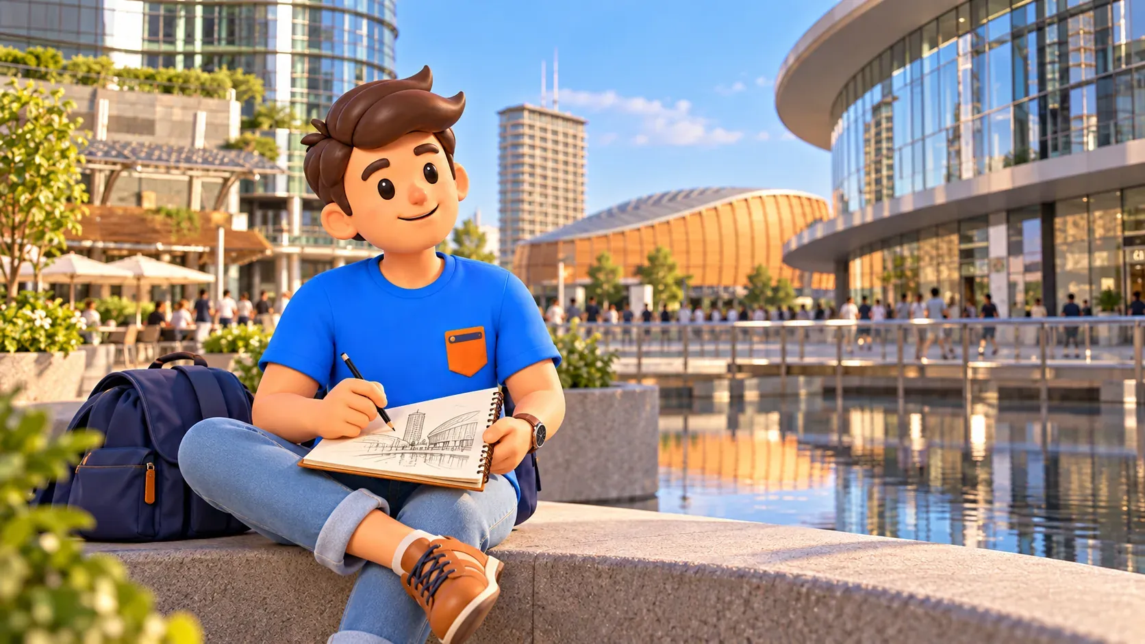
Spend the first few minutes understanding the square as a whole. Curved glass fronts surround an elevated pedestrian space, with water forming part of its design. Stand somewhere dry and out of the main flow, then look across rather than straight upwards. The buildings become easier to read when their lower levels, entrances and reflections remain in the picture.
Next, change position slightly. Compare a broad view with one containing a small detail: a reflected edge, the meeting of paving and water, or the way a curved frontage frames the sky. There is no need to reproduce a famous photograph. Two different observations can explain the square better than a long sequence of almost identical images.
The water is a visual element, not a promised performance at a fixed time. Conditions and maintenance can change what is operating when you visit. Keep the stop worthwhile even if a particular fountain effect is absent. The circular composition and the relationship between the plaza and surrounding glass are still there to see.
If you like drawing, a quick sketch can be more useful than recording another tower name. Try a curve for the building and a horizontal line for the plaza. With children, compare the apparent height of buildings from two positions. Keep the activity brief enough that there is still curiosity left for the park.
Walk into BAM and change the scale
Follow the pedestrian way from the square into BAM. The transition is worth noticing: your attention can move from a broad architectural surface to individual stems, paths and tree trunks. Do not race across the park simply because the towers ahead are easy to recognise. This middle section gives the outing its different rhythm.
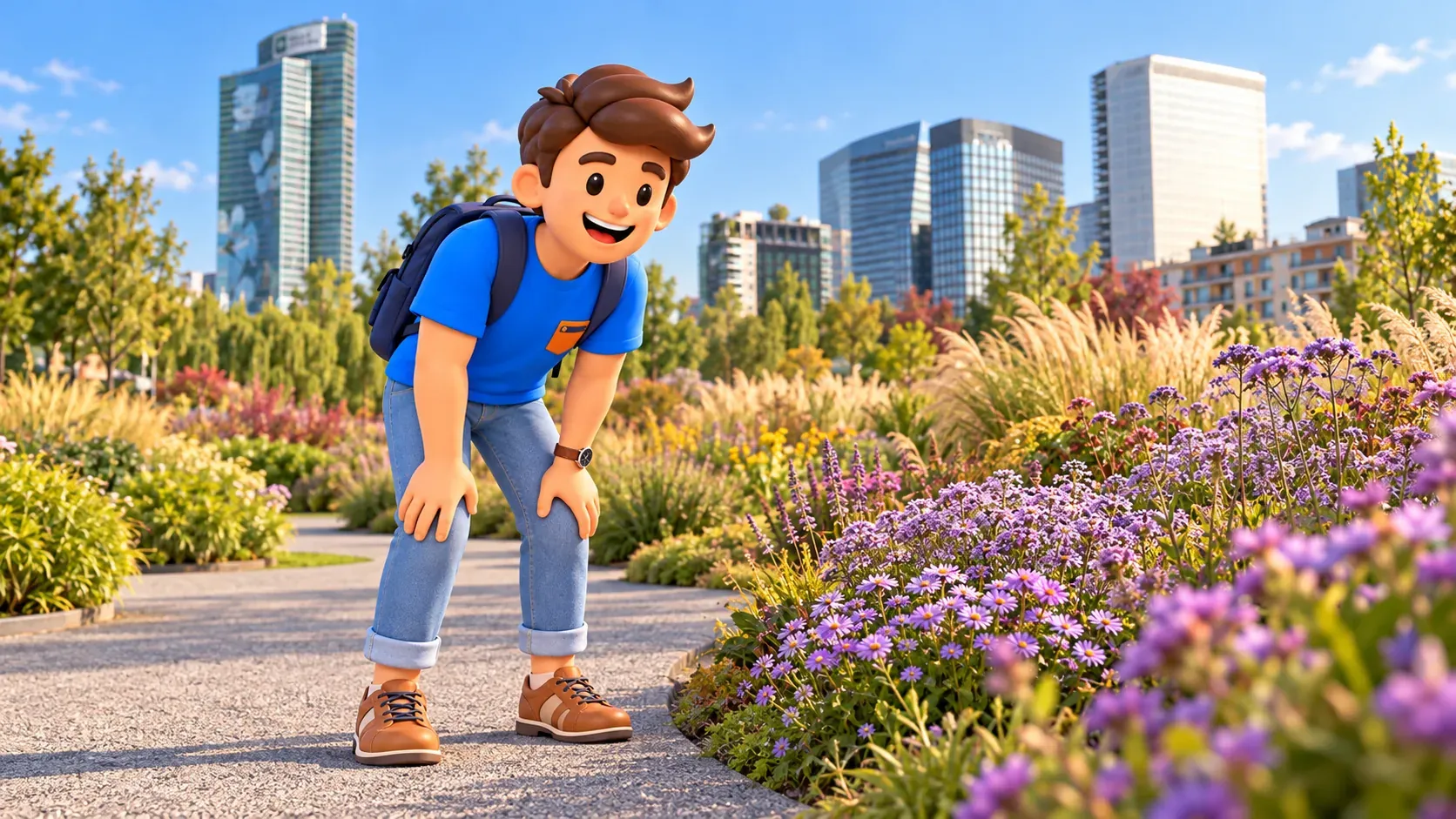
BAM means Biblioteca degli Alberi Milano, the Library of Trees. It is a municipal public park designed by Inside Outside, Petra Blaisse’s studio. The name describes a botanical collection outdoors; it does not mean you are looking for a conventional library entrance. Its planted spaces and circular groves offer several ways to read a relatively small section.
For the suggested 35 minutes, choose a short loop rather than following every path. Begin with an open view, spend a little time beside one planted area, then turn towards the Bosco Verticale side of the park. Keep the towers as a broad orientation aid while using the public paths and local signs for actual movement.
A simple observation task helps: compare the outline of a tree canopy with the texture of grasses or the colour of a planted bed. Stay outside the planting and leave flowers where they grow. The interest is in the arrangement and seasonal change, so the visit does not depend on finding a particular bloom on a particular date.
The Vertical Forest is a view, not a tower visit
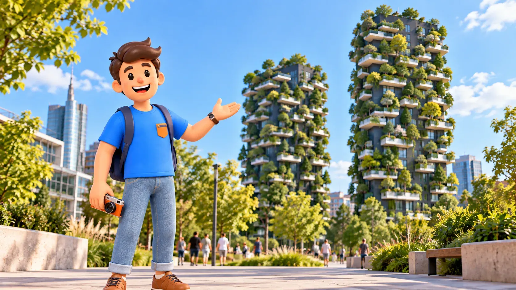
Continue towards Via Gaetano de Castillia for the outdoor stop at Bosco Verticale. Completed in 2014, the project by Boeri Studio consists of two residential towers with trees and other planting on projecting balconies. This is the essential context: the greenery belongs to buildings where people live. The walk includes looking from public space, not entering the towers.
First take in the two volumes together, then look at the edges. The balconies interrupt a simple rectangular outline, while planting changes the apparent depth and texture. You do not need an exact tree count or a claim about environmental performance to appreciate the design. What matters for this visit is the visible relationship between a building, its planted terraces and the sky.
Twenty minutes gives you time for a general view and a closer observation from a suitable public position. Avoid pressing towards residential entrances in search of an interior photograph. A slightly more distant perspective can make the planted silhouette clearer. Keep paths and doorways usable, and frame the architecture without singling out residents or looking into homes.
It also helps to compare the towers with the park you have just crossed. In BAM, you move among a landscape at ground level; here you read vegetation from outside a residential façade. Those are different experiences of urban greenery. Seeing both makes the route more interesting than approaching the towers only for one quick picture.
Choose your pause before adding another neighbourhood
The optional twenty-minute café stop belongs near the end, when you can decide how much attention and energy remain. It is a short drink break, not an assumed restaurant meal. Choose somewhere that is open and has space on the day, and check the menu before sitting down. There is no compulsory venue or purchase in this walk.
If you prefer to spend nothing, omit the café and keep a brief rest in an appropriate public seating area. That makes the outlined outing roughly 100 minutes; you can also give the spare time to a comfortable park pause. Buying a drink is not what makes the itinerary complete. The three principal settings already provide its beginning, middle and finish.
If this district becomes your favourite part of Milan, use RoadMe to build the rest of the trip around what interests you, with a personal plan that also leaves room for rest. Preparing the days together is more practical than squeezing another neighbourhood into every gap.
Weather, access and the shape of your day
This is primarily an outdoor plan, so choose the time according to the actual forecast and your comfort. In strong sun, shorten exposed stops and carry water; in persistent rain, save the park for another slot. Do not count on office lobbies or residential buildings as alternative attractions. A café can provide a break under its own conditions, not replace the whole route.
BAM identifies accessible approaches from Via Gaetano de Castillia, Piazza Gae Aulenti and Passeggiata Veronelli. If avoiding steps is essential, check the approach from your transport stop as well as the current park information: the access of one space does not establish that every connection in the outing is suitable. Allow time for a different entrance or a more comfortable crossing.
With children, give one small task at each main setting: find a reflection, compare two plant textures and choose a balcony outline. This works better than asking them to absorb every architect’s biography. Leave planted beds undisturbed, and adjust the length when interest fades. A shorter, attentive walk can still give a satisfying impression of the district.
Finish near the public edge of the towers and BAM, then allow separate time to reach your next destination. If this is part of a first stay, our two-day Milan itinerary shows how contemporary Porta Nuova can sit alongside the historic centre and Brera. For this outing, the square, park and planted towers are enough: three changes of scale, with time to enjoy each one.


