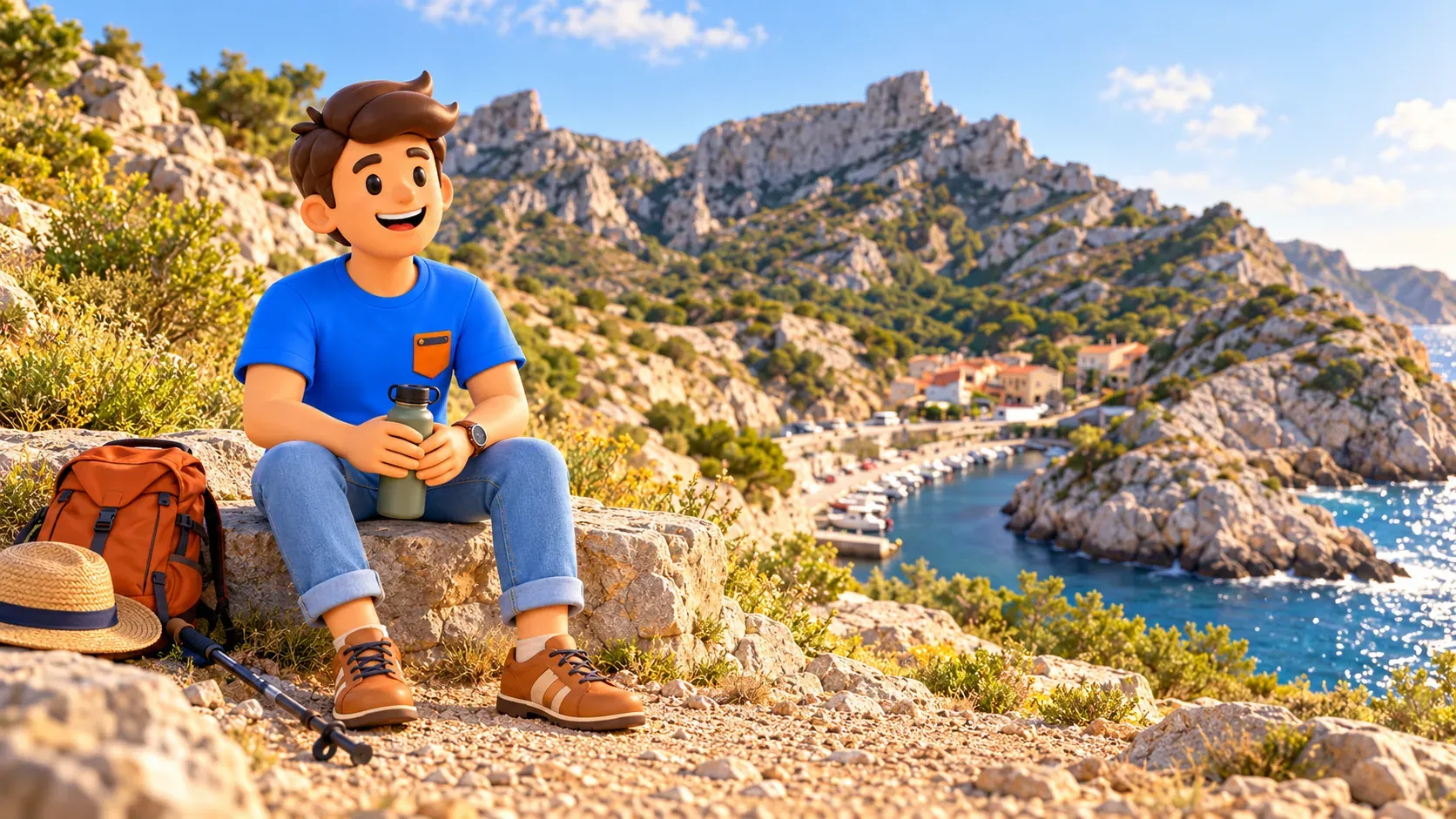
Callelongue to Marseilleveyre: a day for the coastal walk
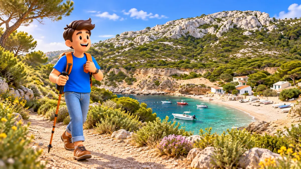
From Callelongue, give a day to the coast and the calanque de Marseilleveyre: a small harbour at the end of the road, a rocky path beside the sea, then a sandy inlet with a few cabanons. Return by the same route, with time to notice how the view changes in the other direction. The destination here is the cove; a summit hike in the Marseilleveyre massif would be a separate plan.
Allow roughly four to five hours from Callelongue with walking, a proper shore break and pauses, adding transport from your accommodation. This is an editorial framework, not a measured guarantee. A slower group or a longer lunch may need more. The semaphore above Callelongue is a distinct uphill option, with its own effort and visit conditions.
Choose the coastal day and prepare the return first
The outing suits travellers who want time on a natural coastal path and are comfortable with uneven rock. A sea-level destination does not mean level paving. The tourism office describes a short route but specifically notes polished stone that can be slippery. Look at the actual weather, the group’s footing and the permitted trail before choosing the full walk. With children or particular mobility needs, assess the real terrain rather than relying on a general family-friendly label. The smaller plan around Callelongue may be the right scale for some days.
Check the official access status as well as weather. During the regulated period from 1 June to 30 September, the next day’s fire-risk decision is available by 18:00; review it and check again before leaving. A land-access closure cancels both the coastal hike and the shorter hill option. Motor-road restrictions are another matter and do not themselves describe every pedestrian condition. Use the actual rules for your date, without copying a previous year’s calendar. Sugiton’s coastal quota is a separate system and should not be transferred to this route.
Plan the journey to Callelongue and its return connection with current RTM information. The usual bus approach is line 19 to Madrague de Montredon, then 20 to the Callelongue terminus. Add the real transfer and waiting time to your day; the walking allowance starts only when you arrive. Carry enough water and food for the complete outing, with suitable shoes and protection for the conditions. Keep a map of the authorised route available. A restaurant or a boat seen at the destination should not become an assumed solution to a plan you have not prepared.
Let RoadMe develop your complete personal Marseille itinerary around your interests, available days and pace. The app makes it much more convenient to give this coastal outing enough time while balancing the whole trip with city visits and rest.
Start with Callelongue’s harbour and its unexpected past
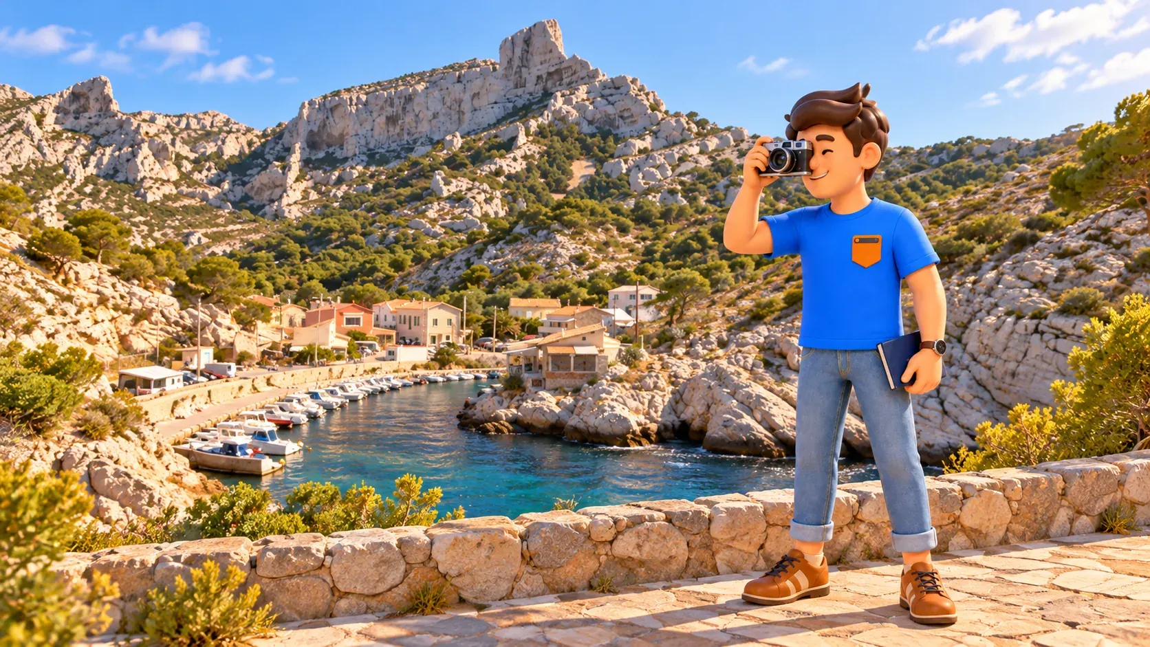
On arrival, take a short look at Callelongue from a permitted public place. The long narrow inlet, small boats and modest houses beneath sharp limestone forms make the end of the road feel clear. Let it be an introduction rather than a second full visit competing with the walk. Notice where you will return for transport and read any notices before setting out. Keep entrances, working areas and the passage beside the harbour free. The settlement is a place people use, even when the landscape looks like a carefully arranged beginning to a hike.
A brief historical layer adds something less expected than the fishing postcard. The national park describes the chemical factory established here in 1849, which remained active until 1884; some buildings later found new uses as homes and businesses. You do not need to identify every surviving structure to understand the point. Callelongue’s relationship with the coast includes work and industry as well as boats and leisure. That small detail gives the harbour a different texture before the path carries you into the more open landscape.
Find the beginning of the authorised coastal route using the current park map and the signs on site. Do not follow an attractive line up a hill just because the name Marseilleveyre also appears elsewhere on the map. This day follows the coastal GR route towards the calanque via the Mounine sector and returns the same way. The semaphore has a separate uphill branch. Getting that distinction right at the beginning protects the day’s rhythm and leaves you free to enjoy the coast without continually reconsidering the destination.
Give the coastal path time, including the small changes of level
Walk the marked route towards Marseilleveyre at a pace that leaves attention for your feet and the sea. The park’s access page gives roughly forty-five minutes from Callelongue, and the tourism office describes about an hour and a half of walking for the return outing. Those are walking references. Our editorial allowance of around an hour to an hour and a half in each direction leaves more room for pauses and a comfortable pace. Actual conditions and your group determine what is reasonable. Neither estimate includes an automatic full beach stay.
The passage through the Mounine sector belongs to the route, not a reason to turn every nearby inlet into another stop. Watch the surface, especially where repeated footsteps have smoothed the stone, and follow the open marked trail rather than shortcuts through plants or over a ledge. Natural rises and descents ask for a different rhythm from a city walk. If someone is uncomfortable, shorten the outing early. A chosen turn-back point can preserve the pleasure of the coast without committing the whole group to a return it will find difficult.
Where stopping is permitted, look across the sea towards the Riou archipelago and back at the pale coastal relief. Give yourself a few moments to see the relationship between land and water before raising the camera. You can remember a single ridge or the shape of an island without naming every summit. The walk itself is part of the visit. Keep the path available to others and avoid using an exposed edge as a photography position. The best pause is one where the group can comfortably look, rest briefly and continue together.
Reach Marseilleveyre and let the sandy shore tell a story
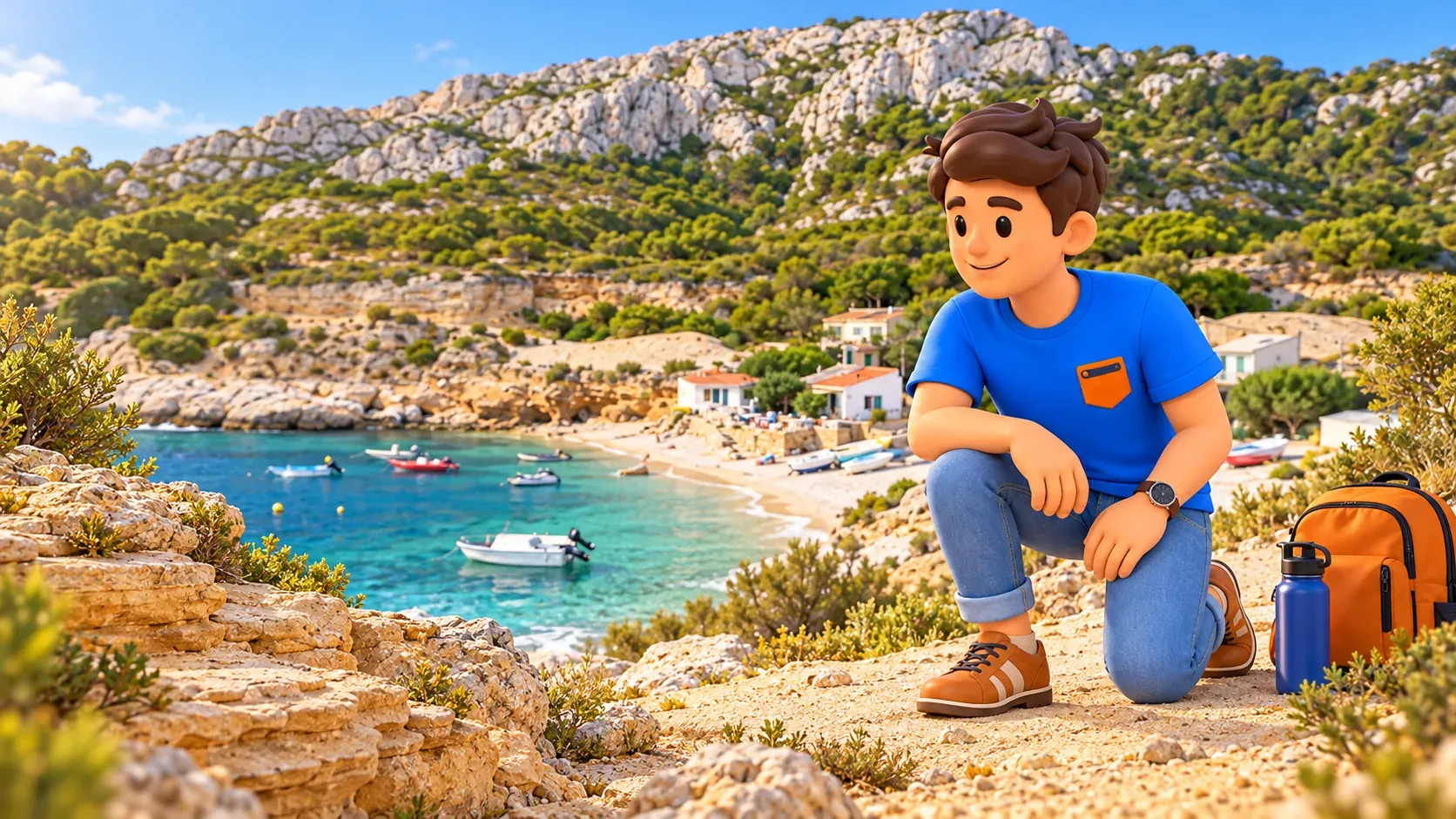
At the calanque de Marseilleveyre, the sand and the small cluster of buildings change the scale after the rocky approach. Choose a permitted place to stop and keep access to houses and boats clear. The park describes this as an inhabited calanque without a vehicle-road connection, supplied by sea. That does not establish a public boat connection for returning hikers. Keep the prepared land route as the basis of your return. The cove is a destination to experience at its own scale, rather than a transport hub to improvise around.
The little sandy banks have a history as well as an appearance. The national park explains that sand was extracted here in the nineteenth century and used for road construction in Marseille. The first cabanons housed quarry workers. Looking at the layers and small cliffs from the permitted shore can make this history visible without collecting, digging or entering a protected face. A brief explanation is enough to change the beach from a simple postcard into a place where natural material and the city’s working past meet.
Give lunch and rest a genuine block of time. A carried picnic keeps the outing independent of an assumed restaurant opening. If a meal at the cove is important, confirm the actual service directly beforehand and fit the route to it; do not turn a guidebook mention into a guarantee. Bring your own water rather than relying on village utilities. Leave all rubbish packed for the return. Swimming remains optional according to the actual sea, ability and local instructions. A quiet meal and a view can be enough, with the return energy still protected.
Treat the semaphore as a separate uphill choice
The semaphore above Callelongue offers a different kind of outing. The park describes a steep marked ascent of about twenty minutes to a site around 109 metres above sea level. For going up, looking around and returning, an editorial allowance of forty-five to sixty minutes is only an initial guide; your pace may require more. This is an additional hill effort, not a building that automatically lies on the coastal path. Choose it instead of the full shore walk when that matches the group, or add it only with explicit extra time and energy.
Built in 1863 for maritime watching and communication, the building makes sense from its broad view. Its visitor status needs newer information than some older descriptions provide. After the restoration inaugurated in October 2026, the national park began announcing occasional interior openings for the public and school groups. That is not a daily museum timetable. Check the actual announcement for your intended date if entering matters to the visit. Do not describe the interior as permanently closed, but do not build an ordinary outing around an unannounced opening either.
The outdoor viewpoint is a separate reason to go, subject to the real access rules. Use the authorised approach and respect closed side traces: the recent rehabilitation of the old mule path also aimed to reduce erosion and protect the surrounding habitat. Keep the visit proportionate to the walk you have chosen. If the coast has already filled the day, the hill can wait for another occasion. The complete experience comes from giving the selected route enough attention, with a return that remains comfortable for everybody.
RoadMe can work out your whole personal trip with the mixture of nature, local history and downtime that suits you. Use the app to organise the days more efficiently and comfortably, while checking official trail access and any separately announced visit.
Return along the coast and leave room for Marseille
Begin back with enough daylight, water and margin for the actual group. Follow the same authorised coastal route to Callelongue, rather than turning inland towards a summit or assembling a longer loop from nearby names. The return gives the sea another angle, but the uneven and polished stone still needs attention. Stop in suitable places and keep together. The main decision is to finish the chosen walk well. You do not need to add further calanques simply because the weather looks good at the lunch stop.
At Callelongue, leave time for the real bus connection and onward transfer. A road at the finish does not mean immediate transport on demand, particularly with seasonal timetables and crowded services. Check the appropriate return before the walk and review the information when needed. A short final look at the harbour can be pleasant if the timing allows. Keep the evening light instead of booking a distant activity immediately after an arrival time that depends on weather, stops and the slowest comfortable walking pace in the group.
Our Longchamp half-day offers an urban alternative when a natural coastal path does not suit the group or the massif is closed, subject to the actual opening of the places you choose there. Make that decision before travelling to Callelongue rather than looking for another way into a closed area. When the hike works, let a simple meal and rest follow. Harbour industry, the sandy quarry cove and the old maritime lookout give enough context for a memorable day, with the walk itself connecting them at the scale you choose.