
Île aux Cygnes: A Short Walk to Paris’s Statue of Liberty
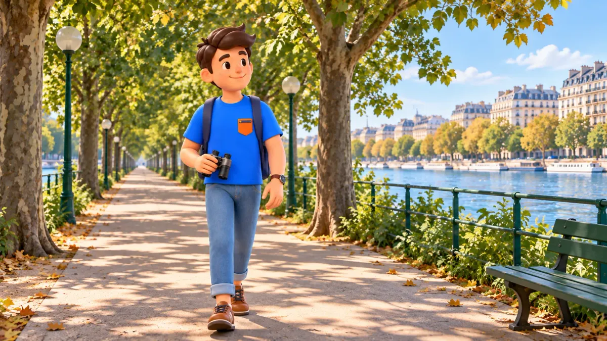
Île aux Cygnes offers a short walk with the Seine on both sides: descend from Pont de Bir-Hakeim, follow a tree-lined alley and reach Paris’s outdoor Statue of Liberty near Pont de Grenelle. The narrow artificial island gives you a different relationship with the river, below the bridges and between the two banks.
Allow around seventy minutes for the walk with a proper pause and an exit at Grenelle. The statue provides a clear destination, while the alley makes the journey worthwhile. Choose your finishing point before descending, particularly if you want to return to Bir-Hakeim or avoid island stairs altogether.
Choose a direction and a useful finishing point
Try RoadMe for a complete personal trip plan based on your interests, dates, pace and budget. Following the full itinerary in the app is much more convenient, helping this river walk fit efficiently around visits, journeys, meals and proper pauses throughout your stay.
The main route begins in the middle of Pont de Bir-Hakeim and runs southwest along the Allée des Cygnes towards the statue. After the southern platform, you retrace a short section to the connection with Pont de Grenelle. Decide which bank you need after that. Reaching the bridge is a clear finish; walking onward to a station requires additional time.
From the northern stair approach to the statue platform, the mapped route is approximately 850 metres. Returning from the monument to the Grenelle bridge connection adds around 150 metres, making roughly one kilometre in total. The exit is therefore part of the route, rather than a finish directly at the statue’s pedestal.
| Stage | Allowance | Purpose |
|---|---|---|
| Bir-Hakeim bridge | 10 minutes | Architecture, river view and finding the island staircase |
| Northern descent | 5 minutes | Take the stairs and orient yourself |
| Allée des Cygnes | 20 minutes | Walk southwest towards Grenelle |
| River or bench pause | 10 minutes | Rest in an available permitted place |
| Southern platform and statue | 15 minutes | Use the stairs and look at the monument outside |
| Grenelle finish | 10 minutes | Return to the access connection and reach bridge level |
These seventy minutes are a visitor-planning estimate, including stops and changes of level. They exclude travel to the bridge, onward transport and a meal. For a comfortable walker with brief stops, the same route can take about forty-five minutes: five at Bir-Hakeim, five for descent, fifteen along the alley, ten at the southern stairs and statue, and ten for the exit. Increase that allowance for children, photographs or slower stair use.
At Bir-Hakeim, find the island rather than another viewpoint
Bir-Hakeim works on two levels: Métro line 6 runs above, while the lower level carries city traffic and pedestrian movement. The present bridge took shape in the early twentieth century, replacing the Passy pedestrian crossing created in 1878. Look at the repeated supports and the relationship between the train level and the river before moving to the stairs.
The bridge also offers views towards the Eiffel Tower. Choose a permitted pedestrian position and leave circulation routes clear. A short look is enough for this outing; waiting for a particular train or a crowded photographic spot can consume the time intended for the island pause. The aim is to understand the setting before changing level.
Near the middle of the bridge, locate the staircase on the downstream side, towards the long island extending southwest. It leads down into the Allée des Cygnes. The bridge-level terrace on the opposite, upstream side, with the sculpture La France renaissante, is a different viewpoint. Reaching that terrace does not put you on the long alley towards the Statue of Liberty.
Use the rail and give people room to pass on the staircase. At the bottom, orient yourself along the island towards Grenelle. This northern entrance involves steps. If stairs are difficult for your group, decide on a different approach before arriving; neither the short distance nor a general accessibility label makes this particular descent step-free.
Let the Allée des Cygnes be part of the visit
The island began as a nineteenth-century artificial river dyke and was later arranged as a planted promenade. Its long, narrow form explains the experience: a central path connects the bridges, with trees and the Seine close by. You are walking through an urban landscape designed along the river, with the city still present on both sides.
Take the alley at an ordinary pace. Alternate between an overall view along the trees and a brief look across the water. The banks change as you move, while the repeated lamps and trunks give the path a rhythm. You do not need a series of new monuments to make the walk interesting; a change of position can be enough.
Choose one pause rather than stopping at every possible angle. A bench, when available, can be a practical place to rest and look at the river. Keep bags and feet out of the path. Tree cover varies with the season and your position, so do not expect continuous shade or an empty seat at the moment you arrive.
For a family walk, a small observation game can help: compare the bridge you left with the next structure, or notice how a tree trunk frames the opposite bank. Keep the activity on the public path. The name translates as Swan Island, but it does not mean you will see swans during the walk.
Partway along, Pont Rouelle crosses the island as a railway bridge. It is not a pedestrian exit to either riverbank. Continue on the island path towards Grenelle rather than looking for a way across the railway. This is a useful point to remember if you decide to shorten the walk after descending: plan your exit at one of the usable ends.
Approach the statue through the southern changes of level
Near Pont de Grenelle, distinguish the connection up to bridge level from the lower southern platform around the statue. Side stairs lead towards the platform; a separate inclined connection links the island with the bridge. Follow the public route and current signs. An inclined path in one part of the site does not establish an entirely stair-free route to the monument.
The replica is an outdoor bronze work related to Bartholdi’s Statue of Liberty. Inaugurated in 1889, it was a gift from the American community in Paris for the centenary of the French Revolution. Those few facts explain why a familiar silhouette stands here beside the Seine. Detailed artistic and Franco-American history can be explored separately; here, the monument marks the end of a manageable river walk.
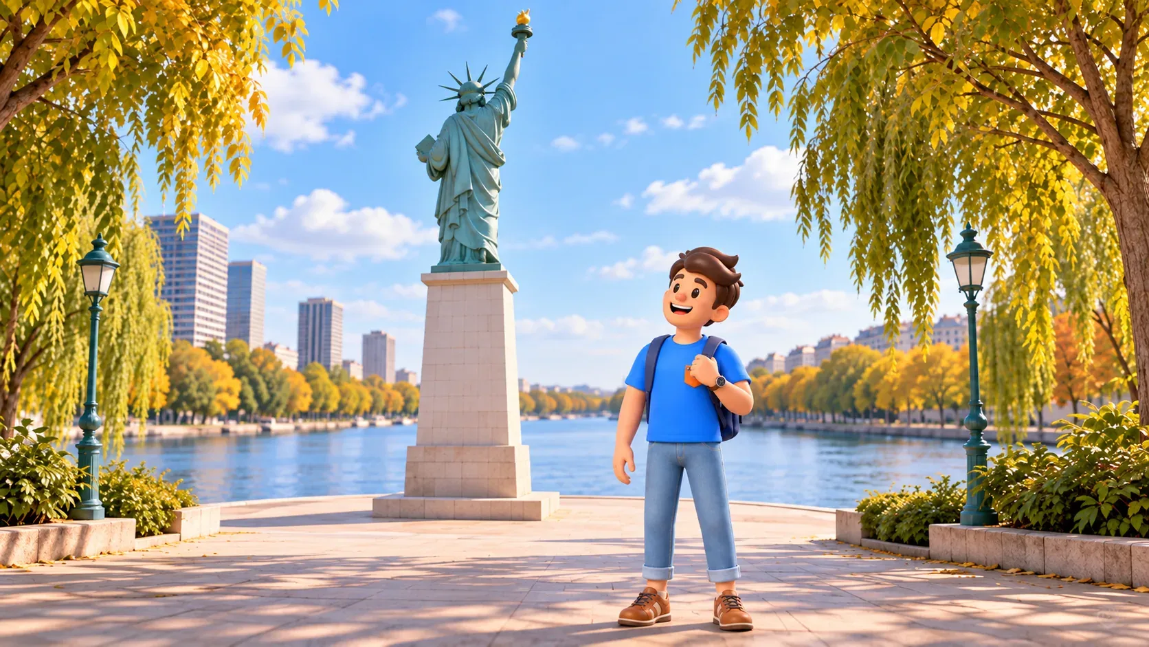
Look first at the relationship between the figure, its tall pedestal and the open river setting. Then choose one visible feature, such as the raised torch or the folds of the robe. A familiar monument can feel different when its scale and surroundings change. This stop is ground-level exterior observation, without an interior ascent or a visit to the crown.
Photographs from boats, bridges and the island show different angles. Use the permitted space actually available rather than trying to reproduce a river-facing portrait from the wrong position. Stay behind barriers and leave access paths clear. A view of the monument together with the water can be more useful than searching for a single supposedly essential frontal image.
After the stop, turn back towards the appropriate path and stairs to reach the Grenelle connection. The roughly 150-metre return is already included in the one-kilometre route and its final ten minutes. Keep enough energy for this change of level; the southern tip is a destination, not a direct passage through the pedestal to a riverbank.
Return north, reverse the walk or stay on Grenelle
If your wider day requires finishing at Bir-Hakeim, allow about ninety minutes for an out-and-back visit. The island walking distance is approximately 1.7 kilometres, with bridge approaches additional. Use the main plan through the statue stop, then allow twenty minutes to walk back northeast and ten for the northern ascent and finish, replacing the Grenelle exit stage.
Starting near Grenelle can also make sense. Visit the southern end first, then walk northeast towards Bir-Hakeim. Identify the southern levels and permitted access before descending, and budget the northern stair ascent at the finish. This direction is useful when it suits the next part of your day; there is no obligation to begin at the northern bridge.
For a shorter encounter without descending onto the island, choose a public pavement viewpoint on Pont de Grenelle. Allow around twenty-five minutes locally: ten to reach a suitable position, ten to look at the statue and river, and five to leave. Travel to the bridge remains additional. This gives a more distant exterior view and does not include close observation at the base.
The present Grenelle bridge was built between 1966 and 1968, so it offers a different scale from Bir-Hakeim. Look at how the statue and narrow island sit within the wider crossing. Keep to pedestrian space, outside the road and cycle routes. The bridge-only option avoids island descent, but your complete approach still needs individual assessment if you have particular mobility needs.
Fit a small river walk into the rest of Paris
Use RoadMe to organise a complete personal itinerary for the trip around your interests, dates, preferred pace and budget. Keeping the day-by-day plan in the app makes it easier and more efficient to coordinate river walks, larger visits and transport while leaving time for rest.
As checked on 14 October 2026, the municipality lists ordinary access twenty-four hours a day, and the tourism office confirms free admission. No booking is needed for this public walk. For a first visit, daylight makes the staircases, paths and viewpoints easier to read. The normal timetable does not override temporary local restrictions; follow current notices and barriers.
Bring water and arrange toilet needs before the island: the municipal facilities list says there are no toilets. A pause is included in the seventy-minute version, but a meal or an extended photo session needs extra time. This route contains stairs at both the northern access and southern platform; confirm a suitable approach for a wheelchair or heavy pushchair instead of assuming the whole journey is accessible.
Bir-Hakeim on Métro line 6 is useful for the northern approach. For the southern area, the tourism office identifies Charles Michels on line 10 and Avenue du Président Kennedy–Maison de Radio France on RER C. Check current transport information and the walk from your chosen station; the island programme does not include those transfers.
On another day, our two-hour Passy walk through Balzac’s neighbourhood towards Bir-Hakeim explores the Right Bank above the river. It has its own stops, steps and time budget. Let this island outing remain a complete small experience: a bridge, a planted alley, a familiar statue and a clear way back into the city.


