
Hong Kong geopark day: High Island East Dam and Po Pin Chau
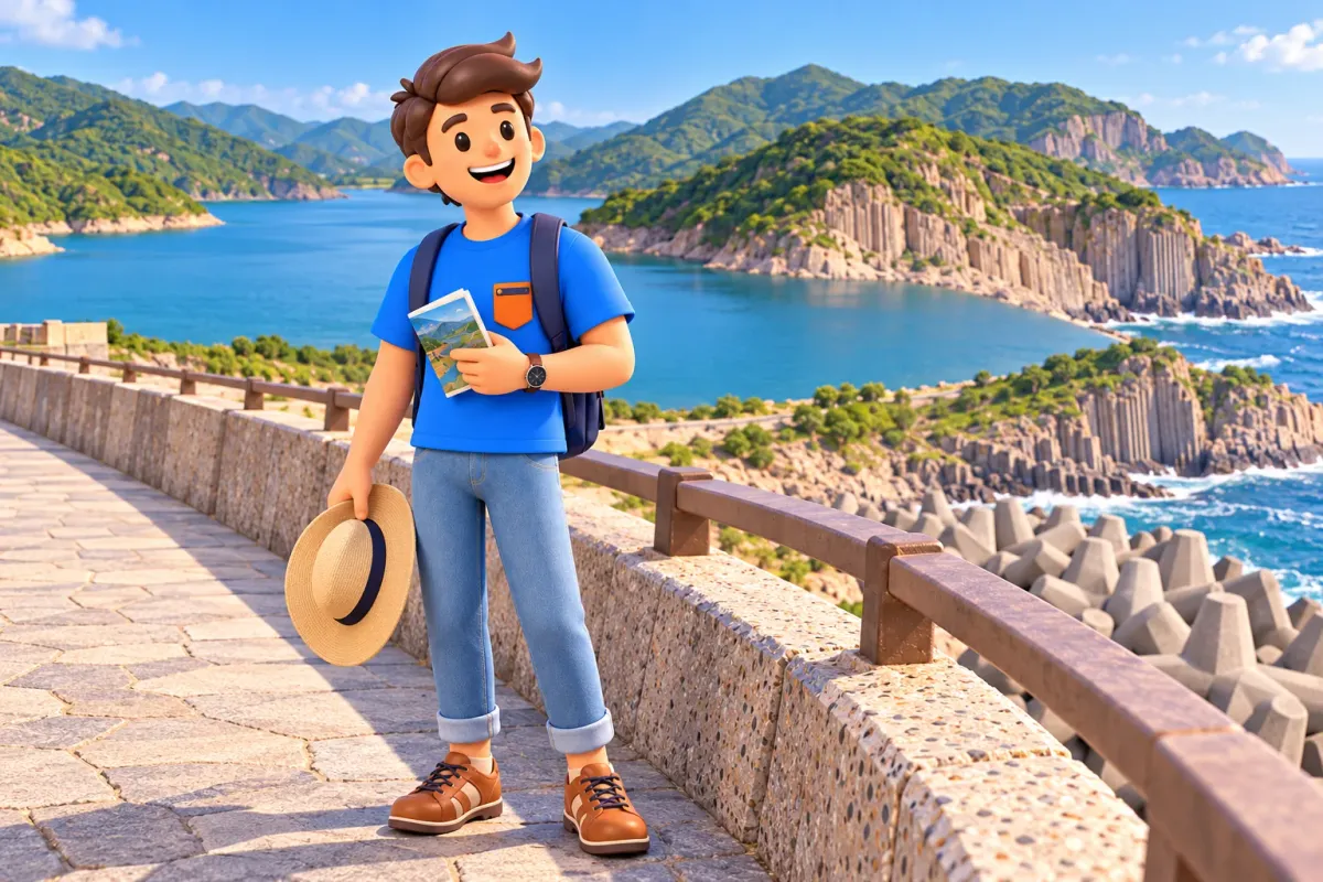
At High Island Reservoir East Dam, Hong Kong changes scale. Towers give way to reservoir lines, enormous wave-break units and pale volcanic columns. A shorter visit already offers plenty to notice; the separate trail towards Po Pin Chau adds a striking sea-stack view and considerably more physical effort. Treat those as two choices rather than automatically combining everything under one easy outing.
Set aside a day travelling through Sai Kung. Roughly three to five hours on site can accommodate the dam, pauses and the walking extension, but that is an editorial estimate. Approaches, transport and waiting are additional. Staying in the main dam area makes the visit shorter, and a worthwhile introduction does not require reaching every viewpoint.
Choose between two versions of the same outdoor day
The first version centres on the East Dam, accessible sections of the geo trail and rock-column observation. Engineering and natural landscapes stand together, so even without a longer hike the visit contains more than one panoramic photograph. Compare water, concrete and rock, gradually seeing why this has become an important place to encounter the geopark.
RoadMe makes it much easier to work out a complete personal trip around your interests, available time and comfortable level of effort. Choose a gentler geological introduction or a more active day, and use the app to shape the journey around the version that suits you.
The second version adds the High Island Geo Trail–Po Pin Chau Section. The geopark describes an approximately 2km return route with over 200m of elevation gain, taking about two hours. Short distance does not mean an effortless city stroll. Those figures describe this section, not the entire journey from central Hong Kong or every stop around the dam.
The viewing platform and sea stack are different places. You walk to a maintained observation point on the coastal headland to see rock separated from the mainland by water. Po Pin Chau itself is not the next walking stop, and landing on it is not part of this itinerary. Understand that distinction on the map before setting off.
For a first visit, choose the main aim: observing geological forms closely or adding an impressive coastal outlook. The two need not have equal weight. With mixed fitness levels, decide on the longer section in advance. A shorter attentive visit is more rewarding than a larger programme in which everyone thinks only about keeping up.
Plan the return before travelling out
Sai Kung or Pak Tam Chung is the usual transport base for this outing. The geopark describes a transfer at Pak Tam Chung to green minibus 9A for the East Dam. Its published arrangement runs on Saturdays, Sundays and public holidays. Do not transfer a temporary holiday enhancement from an old notice to an ordinary weekday.
A taxi from Sai Kung or Pak Tam Chung is another listed access option. Being able to arrive does not mean an empty car will be waiting at the moment you want to leave. Think through your return, current transport and time margin before the walk. That matters particularly with Po Pin Chau: after the trail you still have to leave the countryside.
Read current access announcements separately from route photographs. On selected dates between 5 September and 7 October 2026, the Po Pin Chau Section operated a trial reservation system. Those dates had passed when this article was prepared, so the trial should not be described as a permanent rule. Check the requirements for your actual visit; the trail section and main dam area can have different arrangements.
Do not replace direct access with a long approach on foot simply because a continuous road appears on the map. It can use up energy before the main sights and extend the return. If a substantial hike is your intention, calculate it separately. This article concerns the dam with an optional extension, rather than a complete long section of the MacLehose Trail.
Bring water and food before arriving at the dam. Do not build the programme around a guaranteed cafe at the right point or unlimited opportunities to replenish supplies. A substantial meal in Sai Kung afterwards can work well, but keep a snack for the visit itself. A transport delay is easier to manage when it does not also mean waiting hungry.
The dam: engineering belongs in the story too
High Island was developed in the 1970s, changing the boundary between land, sea and stored fresh water. Begin by looking at the different sides of the structure. The reservoir's calmer surface and the seaward defences explain its purpose more directly than trying to memorise construction statistics. This is a working urban connection expressed through a countryside landscape.
The unusual concrete wave-break units are called dolosse. Their shape helps disperse wave energy, although the arrangement can resemble abstract sculpture from a distance. Compare the orderly line of the dam with the apparent disorder of the blocks. Both have an engineering logic; they solve different problems. Stay in the areas intended for visitors while observing them.
Do not descend onto the wave-break units for a photograph. Dry-looking concrete does not make the structures a walking surface. From a permitted position, you can already understand the essential idea: how protection was designed and how a coast was adapted to a large city's needs. Seeing the structure does not require getting physically inside its defences.
If urban history interests you, consider why Hong Kong needed water storage on this scale. The outdoor excursion unexpectedly returns to metropolitan life. Water at a household tap and a remote reservoir become parts of one system. That makes the stop relevant to visitors who would not normally choose a day focused on geology or infrastructure.
Volcanic columns: look for a process, not just a pattern
The pale columns belong to ancient volcanic rocks around 140 million years old. They are not the familiar dark basalt colonnades seen elsewhere: the local complex involves silica-rich volcanic material. For a first visit, distinguishing the origin of the rock from the later shaping of the landscape matters more than learning every mineral name.
As a large mass of volcanic material cooled and contracted, fractures developed into polygonal columns. A rhythm that looks almost manufactured is therefore a natural structure. The modern dam and the columns belong to very different times. Seeing both together makes the contrast between human construction and geological processes particularly clear, without requiring a technical lecture.

Look beyond one column towards the direction of a whole group. Where do lines change, and where do different colours or fractures appear? Official trail interpretation can connect observation with the relevant processes. You need not invent a dramatic catastrophe from a single unusual curve. Even an apparently regular colonnade can preserve evidence of several stages of change.
Do not chip or collect rock as a souvenir. Choose a detail to remember through observation and photography instead. The value lies in the outcrop's relationship to its surroundings; a removed fragment does not explain that. With children, compare a natural form and a constructed one. Both appear ordered, but they came into being in entirely different ways.
Not every part is equally close or accessible. Follow the open route, waymarks and current restrictions. If one area is unavailable, observe what is accessible rather than looking for a bypass. The important impression is that beneath the familiar modern city lies a much older history of the territory, made visible here through exposed rock.
Po Pin Chau: a separate walk and a different shaping process
Follow the marked section from near the reservoir monument to the viewing platform and return the same way. Do not turn the recommended route into a search for the shortest cut towards an edge. The maintained path organises access and helps reduce soil erosion. Give passing walkers space rather than occupying a narrow section as a group for a photograph.
At the viewpoint, identify the gap between headland and stack. Po Pin Chau was once connected to the neighbouring coast. Wave erosion formed a cave, then an arch; after the arch collapsed, a separate fragment remained offshore. The columnar rock originated much earlier. Column formation and coastal separation should not be compressed into a single instantaneous event.
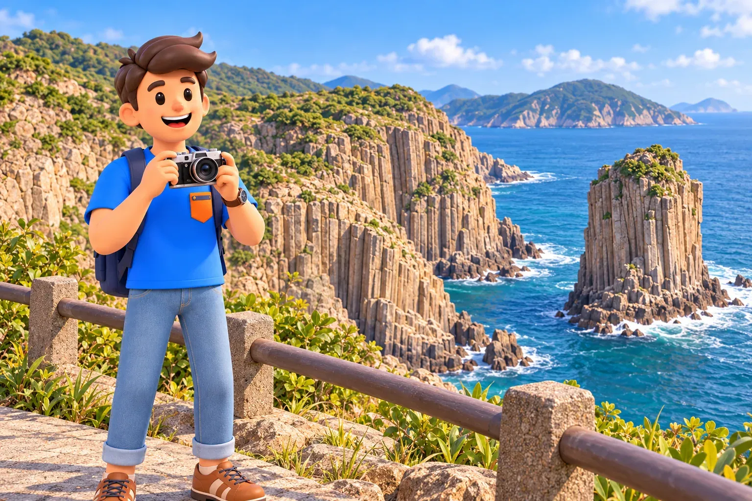
Compare the lines of columns on either side of the gap, then look at the water between them. Similar rock and different present positions become a clear spatial story. That is more informative than asking which everyday object the stack resembles from a particular angle. The landscape is attractive on its own, but understanding the process adds another dimension.
Stay on the maintained route and viewing area. Do not look for an outcrop beyond a barrier to obtain a less obstructed image, and do not continue towards the stack itself. A permitted position already reveals the main story. In wind, rain or poor visibility, the actual condition of the path matters more than completing the final panorama.
Turning back before the platform is also a valid decision. If the ascent is uncomfortable or conditions change, the visit does not need to be justified by reaching the final point. Dam and geology remain substantial experiences. Keep energy for the return over the same trail: an impressive viewpoint is not the transport endpoint of the walk.
Conditions and a sensible reserve of energy
Open coastline and climbing call for suitable footwear, water, sun protection and enough daylight. The label geo trail does not imply equal effort across every section. Assess the easier dam area and the Po Pin Chau route separately. With young children or mobility limitations, ask about specific conditions rather than relying on attractive photographs or the short distance alone.
For a nature day that fits the rest of Hong Kong without overloading the holiday, use RoadMe to develop a complete personal plan around your interests and time. Choosing a suitable rhythm is much more convenient in the app than combining other people's routes of different difficulty.
Before the longer extension, pause to assess the basics: water remaining, weather and time for the return. That is an ordinary part of selecting a route, not a reason to turn the day into an endurance test. Staying with an accessible view can be a better choice than adding another ascent when everyone is already tired.

Do not automatically attach Long Ke beach, more summits or a boat excursion to this day. Each has its own approach and conditions. If there is time after the dam and platform, a calm return to Sai Kung and a meal can be more enjoyable than expanding the programme until all transport margin disappears.
What to take away after returning
Finish the outdoor part while there is still a comfortable transport margin. Do not leave the return decision until the final photograph. On the journey back, compare three scales: the modern city's needs, ancient columns and the sea's continuing work. They occupy one landscape while belonging to different causes and periods of time.
For another Sai Kung outing, compare this with Yim Tin Tsai's chapel and salt pans. That day centres on community memory and scheduled visits; this one on geology, engineering and a choice of walking effort. Choose a meaningful outing rather than trying to squeeze both into one hurried programme.


