
Saint-Jean in Geneva: a quiet walk to the old priory ruins
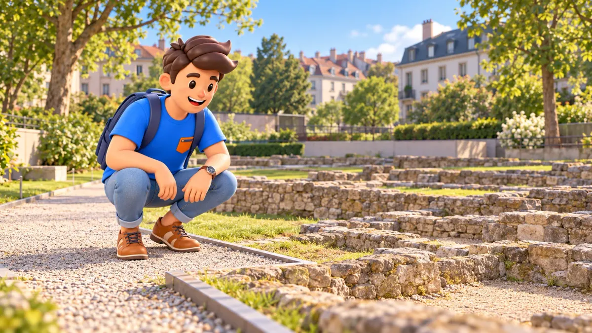
A Saint-Jean walk connects two distinct places: the small urban Parc Saint-Jean near Boulevard James-Fazy and the old priory ruins further west. City streets lie between them. This is not one large park with a monastery hidden at its centre, nor a continuous riverside promenade. Choose it for everyday Geneva, the relief above the Rhône’s right bank and a history that survives in low stretches of masonry.
Begin with a green pause, then make your way towards Saint-Jean and Sous-Terre for the archaeological promenade du Prieuré. Roughly an hour to an hour and a half with stops is a possible planning allowance, not a measured walking time. If the archaeology is your main interest, you can start directly by the ruins. The first park helps introduce the neighbourhood but is not an obligatory entrance to the site.
Find two separate places before setting out
Check the full names on your map: Parc Saint-Jean and Promenade du Prieuré-de-Saint-Jean. The first is towards James-Fazy; the second lies further west, nearer Sous-Terre. The shared Saint-Jean name explains a historical connection rather than a single continuous space. Plan an ordinary urban link between them and choose your return direction separately. That avoids searching for ruins among the trees of the first park.
Try RoadMe to work out a complete personal trip plan around your interests and preferred pace. It makes it more convenient to give this quiet walk a suitable place between the more demanding visits elsewhere in your journey.
Follow available streets, pavements and the indicated approach to the archaeological area. A line running beside the river on a screen does not establish an open pedestrian route. Here, levels and relief matter more than the apparent closeness of two pins. The shortest drawn connection may be an unsuitable approach; there is little benefit in trying to force it through a closed path or private area.
Decide how you will finish after looking at the ruins. A suitable public exit is more useful than a commitment to reach the water. The Rhône helps explain the district’s position, but this route does not promise a continuous panorama or a walk along the river’s edge. If your main wish is a broad waterfront with uninterrupted views, this smaller archaeological outing has a different character.
Parc Saint-Jean: pause in everyday urban greenery
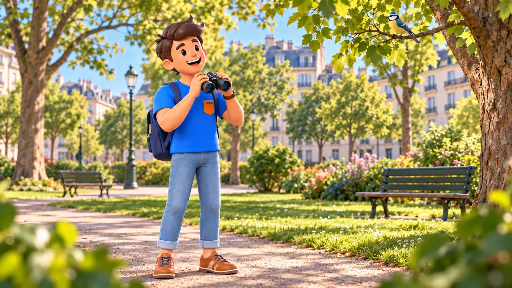
Treat the first park as a public space used in daily life. Its interest lies in the relationship between greenery, paths and city rather than a compulsory major monument. After busier central streets, it provides a chance to change pace. Notice how trees divide the space and how close the buildings remain to the garden setting. You do not need to inspect every corner to appreciate that relationship.
If a bench is free, use it to look at the neighbourhood. People passing through or taking a rest are part of the place. A park need not be empty or completely quiet for a pause to be worthwhile. Leave routes clear and choose somewhere comfortable rather than spending the stop searching for a deserted background that an ordinary public garden may not provide.
The Saint-Jean name preserves the memory of the Benedictine priory. That is useful context for the next part of the walk, but does not establish that every lawn conceals a section of the monastery. Your first stop is an urban green space; the archaeological site is still ahead. Keeping the distinction clear makes the comparison more interesting: one is a contemporary garden, while the other presents surviving traces as the reason for visiting.
With children, try a single observation task: find a position where greenery and surrounding buildings can be seen together. There is no need to turn the park into a mandatory treasure hunt or promise a particular open playground. The pause is a chance to rest and notice the setting. Afterwards, return to the street route rather than searching for a supposed monastery path inside the same park.
Let the streets form part of the experience
Continue west through the public street network towards Saint-Jean and Sous-Terre. The link includes crossings and normal neighbourhood life, rather than a continuous green corridor. That is worth recognising as part of the visit. Historical memory survives inside the present city; the former monastery is not separated from it by a special tourist passage along which everyone automatically follows the same route.
Notice changes in level and the way the ground relates to the Rhône valley. Understanding the district’s position does not require a constant view of water. The slope of a street, the placement of buildings and the difference between higher approaches and riverside areas can be revealing. A glimpse of the river may be enjoyable, but should not determine whether the walk has succeeded. Visibility varies with the particular position and vegetation.
Do not make the Sentier des Falaises a required continuation. Lower paths can have their own restrictions, and old reports of works do not prove either present closure or current unrestricted access. This route depends on public urban approaches and the accessible archaeological area. Local signs take precedence over an older description, particularly if it suggests a passage now behind a barrier.
Before the final approach, locate the promenade du Prieuré itself rather than returning to the general Parc Saint-Jean pin. Similar names are easy to confuse when a navigation display shortens them. If the approach seems more complicated than expected, pause somewhere suitable and check the actual destination. Continuing downhill on the assumption that any route towards the river will reach the ruins is less useful.
At the priory, look for remains rather than a complete monastery
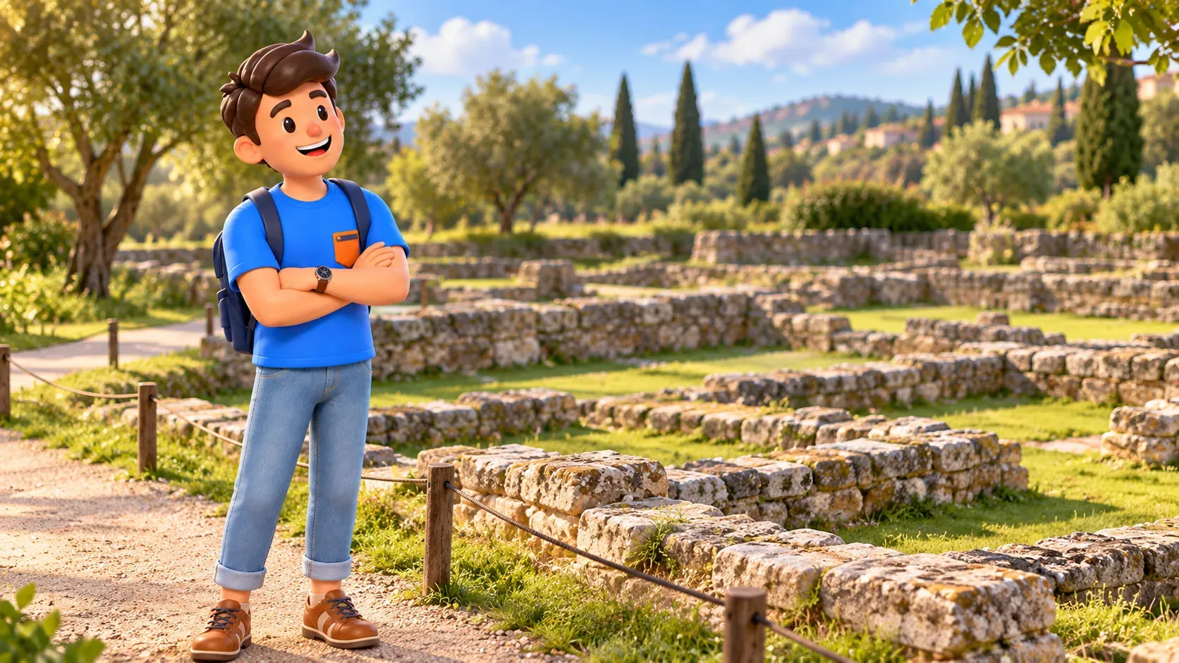
The archaeological area contains low building remains, rather than an intact church with an interior to explore. A Benedictine priory existed here in the twelfth century outside fortified Geneva; the name hors-les-murs recalls that position beyond the walls. It takes some imagination to understand this beside today’s city. Begin with the whole site, allowing separate lines of masonry to form a plan of the vanished complex.
The remains were discovered in 1966 and subsequently presented through an archaeological promenade. This offers a different kind of preservation from rebuilding a whole structure. Visitors see surviving traces and learn to relate them to former spaces. A low wall need not represent a minor piece of history: its position can explain something of a building that has long disappeared above ground.
Rather than immediately trying to identify every room, follow the directions of the walls. Which lines run parallel, where do outlines change, and how do separate parts relate to the whole? Where on-site explanations are available, compare them with the visible masonry. Avoid assigning a function to every fragment from appearance alone. An angle can be observed directly; identifying the room it belonged to requires archaeological interpretation.
The church and cloister relate to different aspects of monastic life. The former served worship, while the latter helped organise the internal space and movement of the community. That basic distinction is enough for a short visit, without a complete inventory of buildings. Compare the plan’s scale with the modern paths and the distance your eye travels across the site. The remains begin to suggest an organised place rather than scattered stones.
View the masonry from permitted routes. Climbing onto walls, crossing protective boundaries or touching old mortar is unnecessary for understanding it. A photograph or sketch does not require standing on archaeological remains. Choose an accessible angled viewpoint that includes several lines, then move along the normal path to another position. Your movement helps reveal the plan while respecting the material being preserved.
Give the archaeology a little time without a long lecture
Choose one question instead of trying to remember everything. Why was the monastery outside the walls, or how can low remains reveal a plan? Then return to what is actually visible. That sequence connects historical context with a particular wall or outline. History becomes a way of looking more attentively, rather than a text you must finish before allowing yourself an ordinary impression of the place.
When walking together, look quietly first and compare observations afterwards. One person may notice the wall pattern, another the site’s relationship with the slope and city. You need not reach the same conclusion. Children can draw a few simple lines in a notebook without presenting them as an accurate archaeological plan. Leave room for curiosity and for recognising what remains uncertain without specialist investigation.
Saint-Jean adds an earlier monastic layer beyond the core of the familiar Geneva story. There is no need to recount the city’s entire history during this stop. Distinguishing medieval life, the later discovery of the remains and today’s public setting is already useful. Those different periods explain much of the place while preserving the scale of a small visit. The ruins belong to present-day Geneva rather than a stage set for an invented journey into the past.
Finish quietly without committing to a descent to the Rhône
After viewing the site, pause in an accessible part of the promenade. If a permitted path is available ahead, you can follow it a little before taking a suitable urban exit. Reaching the water is not necessary to complete the outing. The position above the valley already contributes to its character. An occasional Rhône view is a bonus alongside the experience of masonry, relief and neighbourhood.
With RoadMe, it is more convenient to develop a complete personal trip plan around your interests and pace. You can balance substantial visits and quieter walks across the journey, giving Saint-Jean its own space for looking and resting.
For another side of the river city, consider the walk around BFM and L’Usine. It is a separate itinerary with its own approaches and river crossing, rather than a promised continuous path from these ruins. Comparing industrial architecture with monastic traces can be rewarding, but two complete walks only belong together when your time and energy suit the combination.
A few practical choices before leaving
Wear shoes suitable for urban surfaces and choose weather in which you will enjoy looking at outdoor remains. After rain, avoid improvising routes across a slope if the ordinary path is awkward or closed. For mobility requirements, check the actual approach to both places: nearby map points do not establish identical gradients or surfaces. A general park name also does not guarantee round-the-clock access to every path.
The shortest version starts directly by the priory and finishes after a thoughtful look. The fuller option adds Parc Saint-Jean and the street connection between them. Both work through the same quiet attention to place: greenery, terrain and discovered traces show Geneva beyond its better-known formal views. No museum programme or river descent is required. Leave a little space before the next appointment so that returning to the city can remain unhurried.


