
Around the Eiffel Tower in Two Hours: Trocadéro, Seine and Champ-de-Mars
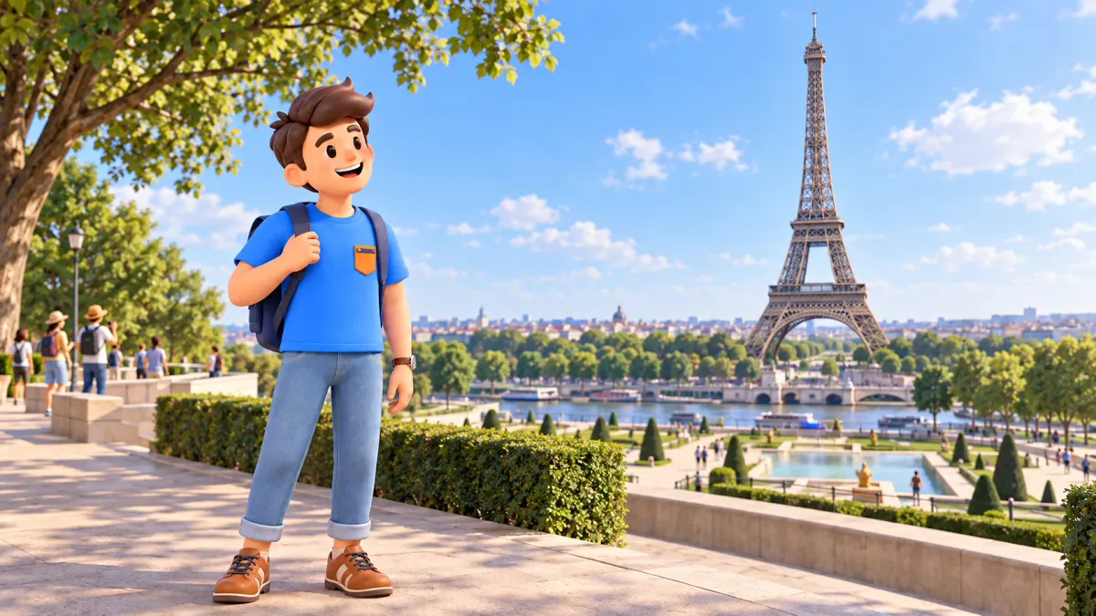
The Eiffel Tower looks different as you move towards it. From Trocadéro it belongs to a broad city view across the Seine; near the river its scale becomes more apparent; from the Champ-de-Mars it rises above a green perspective. A short walk can use those changes to create a complete experience, with time to look around rather than hurry between photo stops.
This itinerary takes about two hours including photographs and a rest. It begins on the upper Trocadéro esplanade, descends through the gardens, crosses the Pont d’Iéna and ends in the northern or central part of the Champ-de-Mars. Going up the tower, entering museums and taking a river cruise need separate time. The walk is useful on a first visit, or when you want to enjoy the area without committing the whole day to one attraction.
A two-hour plan from Trocadéro to the Champ-de-Mars
Start on the public esplanade between the two wings of the Palais de Chaillot, above the Trocadéro gardens. Follow open public paths downhill towards Place de Varsovie and the Pont d’Iéna. Cross the Seine to the Left Bank, then stay outside the tower’s security enclosure: walk east along Quai Jacques-Chirac towards Avenue de la Bourdonnais, turn towards the public park paths and continue into the Champ-de-Mars. A convenient finishing area is around Avenue Joseph-Bouvard, using whichever paths and resting places are open.
Allow roughly 35 minutes for walking and another 85 for looking, photographs and breaks. Those are planning estimates, not measured times: your pace, visitor numbers and available paths can change the balance. Getting to the start, a sit-down meal and tower queues are additional.
To fit this walk into a trip shaped around your dates, interests, pace and budget, try RoadMe. The app works out a personal day-by-day plan, making it easier to balance major sights, museum visits and time to relax.
Trocadéro station is a useful starting reference; check current transport information before travelling. The itinerary’s main idea is simple: begin above the river, cross it and finish in the park on the opposite bank. You do not need to reach the École Militaire at the far end of the Champ-de-Mars. A pause in the accessible northern or central park already provides a satisfying conclusion, especially after a busy morning elsewhere.
Save the names Trocadéro, Pont d’Iéna and Champ-de-Mars so you can recognise them on signs and your map.
Trocadéro: see the tower as part of Paris
On the esplanade, begin with the whole view. The gardens, river and bridge lie between you and the tower, while the green axis of the Champ-de-Mars continues beyond it. That arrangement helps you understand the route before moving. The tower’s outline may be familiar from hundreds of photographs, but its surroundings explain how the famous scene is assembled and why distance matters.
The Palais de Chaillot was created for the International Exhibition of 1937. Its design retained parts of the earlier palace while replacing the central section with an open esplanade. The resulting gap opens the view towards the tower and the École Militaire. This small piece of history makes the terrace more interesting: the panorama is shaped by architecture, rather than simply being an accidental empty space on a hill.
Take one broad photograph, then put the camera down and notice the edges of the scene. Pale palace wings, trees and the river create several layers of depth. For portraits, pick a position that keeps the public passage clear and agree on a few shots before starting.
Morning can suit a gentler start, but it does not guarantee an empty terrace. An afternoon outing may work better if you want to finish in the park later in the day. Light, cloud and weather influence the result, so avoid making one supposedly essential angle the condition for enjoying your visit. There are more views ahead, and the progression between them is the point of this itinerary.
The Trocadéro gardens: a downhill change of scene
Use the open public routes towards the Seine. A direct descent can involve steps, so check a suitable approach in advance if stairs are difficult, or begin in the lower gardens instead. This itinerary includes a change in level and has not been separately verified as a step-free route. For a wheelchair, pushchair or particular mobility need, the actual access arrangements matter more than finding the shortest connection.
The gardens combine a formal central perspective with less regular paths among trees at the sides. Their landscape carries the influence of the exhibitions of 1878 and 1937. Older planting and winding paths provide a different atmosphere from the axis beside the Warsaw Fountain. You can notice that contrast during the descent without adding a full circuit of the gardens or a detailed survey of every statue.
Do not make the visit depend on the fountain jets operating at a particular moment. Check the state of the fountains and any closed areas on arrival. Even without moving water, the descent changes the composition: from the terrace the tower sits in a wide panorama; between the trees you begin to see it through a closer green frame. That gives this stage a purpose beyond simply reaching the bridge.
Leave a few minutes for an ordinary pause. With children, try a small observation task, such as finding the bridge they saw from above or spotting the same tower support in the next view. It can keep the walk engaging without turning it into a long history lesson. Then continue towards the river through signed passages, allowing for temporary barriers and movement on the surrounding streets.
Pont d’Iéna and the Seine: cross to a new viewpoint
The Pont d’Iéna connects the lower Trocadéro area with the bank beside the Eiffel Tower. The city describes it as a space returned to pedestrians after the 2024 Games. Follow the current layout and signs on arrival; nearby street crossings and bicycle movement are still part of the wider setting. A pedestrian bridge is a place to share, so choose your stopping position with other people in mind.
Look along the river first, then towards the tower. These are different scenes: one gives the water and banks the main role, while the other shows the metal structure growing larger as you approach. For photographs, move to the edge of the permitted walking space and keep the main flow clear. You do not need to descend to a landing stage to make the Seine an enjoyable part of the walk.
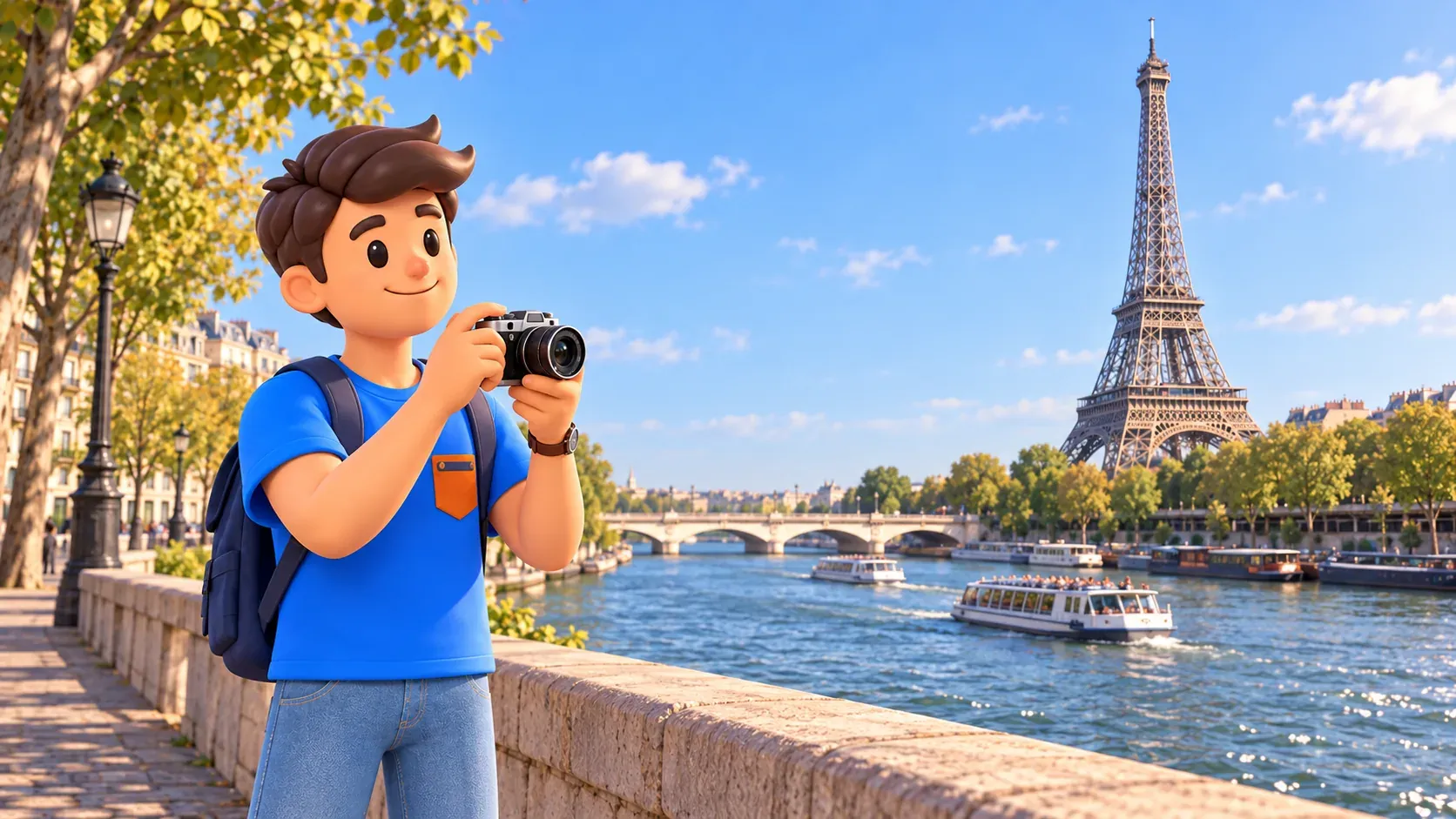
A sightseeing boat can be a separate choice if you want to experience Paris from the water. Boarding, waiting and the cruise itself should not automatically be squeezed into the same two-hour allowance. Decide after the park break whether another substantial activity suits your day. Seeing boats pass below the bridge is already a reminder that the river connects more of Paris than this small section of the banks.
On the opposite side, compare your impressions. Did you prefer the broad scene from the hill or the approach over the water? That answer can guide the rest of your trip. Some visitors will want a high panorama from the tower, others will prefer gardens and street-level architecture.
Beside the tower: exterior views and admission are different
The Eiffel Tower was built for the World’s Fair of 1889. At close range, its open latticework becomes the main interest: intersecting lines form the large supports you previously saw as part of a silhouette. This change from skyline to structure is worth a brief stop. You can observe it from accessible public paths outside the enclosure, without turning the walk into a paid tower visit.
Walking directly beneath the tower is also possible without paying, but it is a separate access choice. The enclosed forecourt and its gardens require a security check at entrance 1 or 2, using the line for visitors without tickets if appropriate. Free entry does not remove screening or waiting. If your available time is fixed, decide beforehand whether that additional visit is important to you.
Going up to the viewing floors requires a separate ticket and checking the conditions of your selected visit. Treat it as its own activity rather than a quick stop between the bridge and park. If you already have a booking, place the walk before or after the admission time and leave room for arrival and checks. After an ascent, a shorter park section may be more enjoyable than repeating every outdoor stop.
If you want to combine tower views, an ascent and other Paris neighbourhoods, plan the trip in RoadMe. Its personal itinerary takes your interests and travel rhythm into account, so organising the full day is more convenient and leaves room for proper breaks.
To continue the exterior route, follow the eastern approach via Quai Jacques-Chirac and Avenue de la Bourdonnais, then use the available public park paths. Follow public passages rather than a queue into the controlled site. The official neighbourhood plan distinguishes the tower’s enclosed area from the Champ-de-Mars: these are neighbouring spaces with different access arrangements, even though both provide views of the same landmark.
The Champ-de-Mars: finish with greenery and a look back
In the northern Champ-de-Mars, walk away from the tower along an open path towards Avenue Joseph-Bouvard. Looking back gradually restores the full outline above the park. You have moved from a distant panorama to the supports and back to a wider view, with different surroundings each time. Reaching the far end is less important than giving this final change enough attention and leaving a few minutes to sit.
The name refers to Mars, the Roman god of war, and the area’s former use for military exercises. It later hosted major exhibitions and developed into a park with central lawns and paths at the sides. That brief context explains its sense of openness. For this walk, however, you only need a small accessible portion of the landscape, rather than a complete inventory of the park’s monuments and leisure facilities.
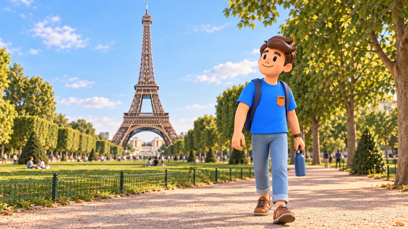
When checked in October 2026, the municipal page reported renovation of paths and lawns. Choose permitted resting places and avoid relying on a particular patch of grass from an older photograph. If a lawn is closed, use an open path and look for a suitable bench. The break is the useful part of the plan; it can work without reproducing an exact picnic scene from social media.
The normal municipal schedules list the Trocadéro gardens and Champ-de-Mars as open around the clock, but daylight is a practical choice for this first walk. Those schedules do not override temporary closures or the tower site’s separate arrangements. Check the weather and current notices before setting out, especially for a late start or when you need a particular kind of access.
After resting, choose the next part of your day separately. If you enjoyed exploring a large landmark through its outdoor spaces, our Louvre and Palais-Royal walk offers another approach to Parisian architecture. Travel to its start needs its own allowance; it can suit another day just as well. Here, the hilltop panorama, gardens, river crossing and green finish already make a complete outing.


