
Amsterdam Eastern Docklands: an architecture walk to the Python Bridge
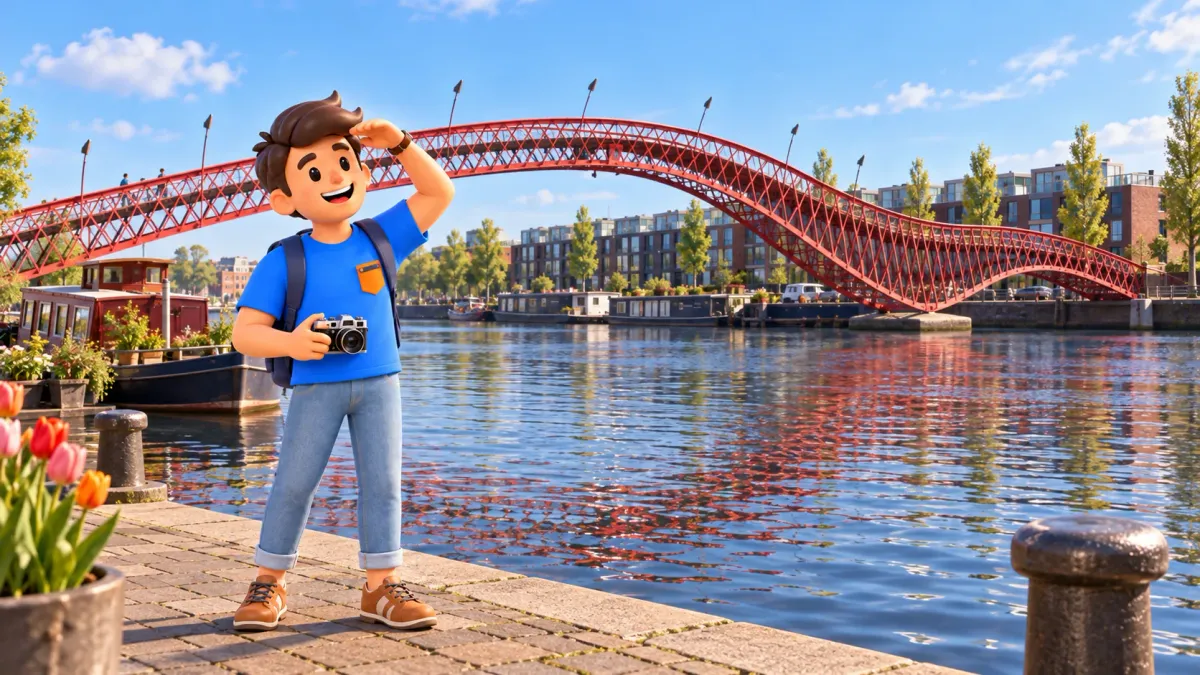
Amsterdam's Eastern Docklands offer a different relationship between buildings and water. Instead of concentrating on familiar canal-house gables, this walk looks at broad waterfronts, contemporary housing and a red bridge that rises and dips across a harbour basin. The interest goes beyond unusual shapes. Former working docks have become places to live, move through and experience culture. Looking at the connections between these uses makes the architecture easier to understand. A striking structure becomes part of an ordinary neighbourhood rather than an isolated object collected for a photograph.
Allow about three and a half hours, from 11:00 to 14:30. Start outside Muziekgebouw aan ’t IJ, follow public streets along the eastern quays towards the Rietlandpark area, take a short break and continue through Sporenburg to the Python Bridge. Finish with a little time beside the water on Borneo. This is an exterior walk: concerts, building tours, a full lunch and the return journey require additional time. Two recognisable landmarks frame a closer look at the neighbourhood between them, without attempting a circuit of every dockland island.
Choose a way of looking
This route suits anyone who has seen the central canals and wants another perspective on Amsterdam. You do not need to recognise architects' names. Start with ordinary questions: where does a front door meet the street, how does a building face the water, and what makes one frontage feel more private than another? Different interests work well together. One person might notice materials, another reflections and another the practical route through a place. Comparing those observations can reveal more than trying to find a single perfect explanation for every building.
Try RoadMe for a fully developed personal route or trip plan based on your interests and preferred pace. The app makes it much more convenient to connect architecture, waterfront walks and suitable breaks into one thoughtful day.
Choose a day with enough daylight and weather that suits an outdoor walk. Wind beside open water can feel more noticeable than in a sheltered central street. Comfortable footwear matters, particularly after rain, because the Python Bridge has steps and a substantial rise. This is not an entirely level route. If steps are unsuitable, plan the approaches and a possible alternative crossing in advance. You can appreciate the Python Bridge from the quay without climbing it; the side view is especially useful for understanding the shape.
11:00: Muziekgebouw and the scale of the waterfront
Start at Muziekgebouw aan ’t IJ, Piet Heinkade 1, allowing about half an hour outside. Opened in 2005 and designed by Danish practice 3XN, it introduces a different scale from the narrow houses of the canal belt. Large planes, glass and horizontal lines interact with open space. Begin far enough away to read the whole volume, then approach an accessible part of the frontage. The change between those views offers a simple exercise in looking: a building's overall outline and its details do not always tell the same story.
This is a working music venue. Inside, movable elements of the main auditorium help adapt its acoustic environment to different programmes. An exterior visit cannot demonstrate that sound or provide an automatic concert experience. Our half-hour stop does not include unrestricted access to foyers, halls or terraces. If the interior interests you, choose a separate performance or tour under the venue's current arrangements and add the necessary time. Looking at the building from public space remains a complete activity rather than a failed attempt to get inside.
The approaches also differ. The pedestrian bridge is steep; the venue describes an alternative route to its lower main entrance around the small harbour. Check that guidance beforehand if relevant to your needs. For this stop, remain in permitted public areas and keep entrances clear. Look at how glazing changes with the angle of view, and how projecting forms meet the sky. Those observations say more than assigning a style from a single feature. There is no need to enter service areas or neighbouring premises to make the building interesting.

An hour along the eastern quays
From 11:30 to 12:30, head east using public connections towards Veemkade and Oostelijke Handelskade, continuing towards the Rietlandpark area. The hour includes time to look, not just uninterrupted walking. Use a current pedestrian map: different levels, access roads and waterside premises mean that the water's edge does not always provide one continuous promenade. Where an apparent path changes, use the permitted street connection. A visible courtyard or staircase should not be treated as a shortcut simply because it seems to point in the right direction.
Try to distinguish buildings that suggest the area's working past from newer residential forms. A brick frontage is not automatically an old warehouse, and a large window does not prove a room is public. Notice the size of openings, repeated structural rhythms and the position of entrances. You can begin reading the neighbourhood without memorising every building's biography. Where the history is uncertain, leave the question open. An appearance supports an observation; it does not necessarily establish a historical fact or a former use on its own.
The harbour setting helps explain long stretches of water and the distances between developed areas. Housing and cultural uses have changed the purpose of those spaces, but the district remains a working part of the city. Deliveries arrive, residents go home and some doors lead only to private accommodation. Observe from public streets and quays without approaching windows for a closer look inside. A home beside water remains someone's home, even if its design attracts visitors. The public route already provides enough scope to understand how buildings contribute to the neighbourhood.
Choose one material and follow its changing role: brick creates repetition, metal marks an edge and glass reflects surroundings. Compare two façades and ask which feels more open. Doors, ground-floor height and distance from the pavement may matter as much as materials.
12:30: a short break near Rietlandpark
Keep around 30 minutes for your own break in the Rietlandpark area. This is a neighbourhood reference, not a guarantee of a particular café or available table. Choose somewhere suitable if you want coffee, or pause without adding another destination. A full lunch needs longer. The purpose is to finish the first substantial section before beginning the next. Adding a circuit of another island would use that time differently and could turn the bridge into the last obligation in a day that has become too crowded.
Use the pause to choose your emphasis: bridge structure, housing or waterfront views. Adjust photography stops without adding another island. If travelling together, agree when to regroup; different interests can fit within the same schedule.
Towards Sporenburg: density without a skyline of towers
Between 13:00 and 13:40, use public streets via the Verbindingsdam direction to reach Sporenburg and Panamakade. The allowance covers the connection with brief observations. Do not add loops through Java and KNSM to this same timetable; they need a different calculation. This walk deliberately connects the eastern quays with Borneo–Sporenburg. Although the district's names can sound like a collection of separate islands, the practical links are bridges and causeways. A nearby shore across water is not necessarily a short walk when the available crossing lies farther away.
West 8 led the transformation of Borneo and Sporenburg during the 1990s. A central idea was to combine mainly low-rise housing with high residential density and architectural variety. It is a useful reminder that a dense city need not consist entirely of towers. Different designers worked within an overall framework, reinterpreting the tradition of the Amsterdam canal house. Watch how small differences in frontages meet repeated street lines. The district's coherence comes from the organisation of space rather than a requirement for every home to have the same appearance.
Notice the relationship between private and shared space. Compact houses may contain private outdoor areas; the water contributes to the public experience. Remain on streets rather than seeking courtyard shortcuts. Repeated doors and lower rooflines already show how this dense neighbourhood works at a human scale.
13:40: the Python Bridge
Allow about half an hour at Pythonbrug. It links Sporenburg and Borneo across the Spoorwegbassin, with Panamakade on the northern side and Stuurmankade on the southern side. Built in 2001 to a West 8 design, the bridge has a distinctive rising and dipping profile. Look from the quay before deciding whether to cross. The height serves more than a visual effect: the raised section allows boats to pass underneath. The shape combines a practical purpose with an experience that makes an otherwise ordinary connection memorable.
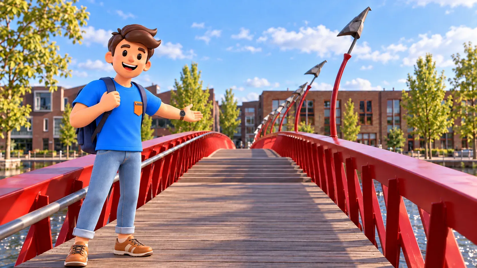
The Python Bridge is for pedestrians and includes steps. The neighbouring low bridge also accommodates cyclists; it is a different structure, not another angle of the same one. If climbing is unsuitable, enjoy the view from the quay and plan an appropriate alternative crossing separately, allowing extra time. Follow temporary barriers if access is restricted. You can finish on the Sporenburg side without losing the main architectural point of the walk. Assess the whole route against your own needs rather than assuming the word pedestrian means step-free.
At closer range, notice red steel members, the wooden deck and unusual lamps with forms reminiscent of gulls' heads. These details connect the large structure with the scale of a person crossing it. For photographs, try one broad side view and one selected detail. Keep the walking route clear and stay off the railings. The bridge still serves everyday movement. The most informative viewpoint may not be its highest point: someone remaining on the quay can often read the profile more clearly than someone standing within the trusses.
Finish on Borneo's waterfront
If the bridge is open and the crossing suits you, keep 14:10 to 14:30 for the public quay on Borneo near Stuurmankade. Look back at the red structure alongside the water and residential rows. Private houseboats and their decks are not extensions of the walking route. Use these last twenty minutes to choose one observation that connects the day. Perhaps it is the way architecture gives a crossing a strong identity while joining two perfectly ordinary residential shores. The practical connection matters as much as the memorable image.

With RoadMe, organising the whole trip around your interests becomes much more convenient and effective. Try a personal plan in the app to bring architecture walks, other experiences and proper rest into a rhythm that suits you.
The main walk ends at 14:30; plan the return journey separately. For another architecture day, consider our brick architecture walk through the centre. Comparing the two reveals different ways of understanding Amsterdam: historical public buildings and façades on one day, harbour transformation and residential streets on another. You do not need a detailed catalogue of every dockland building to take away a clear impression. Music, housing and bridges each show how the city continues to find new uses for its relationship with water.


