
Along the Amstel to Riekermolen: a longer Amsterdam walk beyond the centre
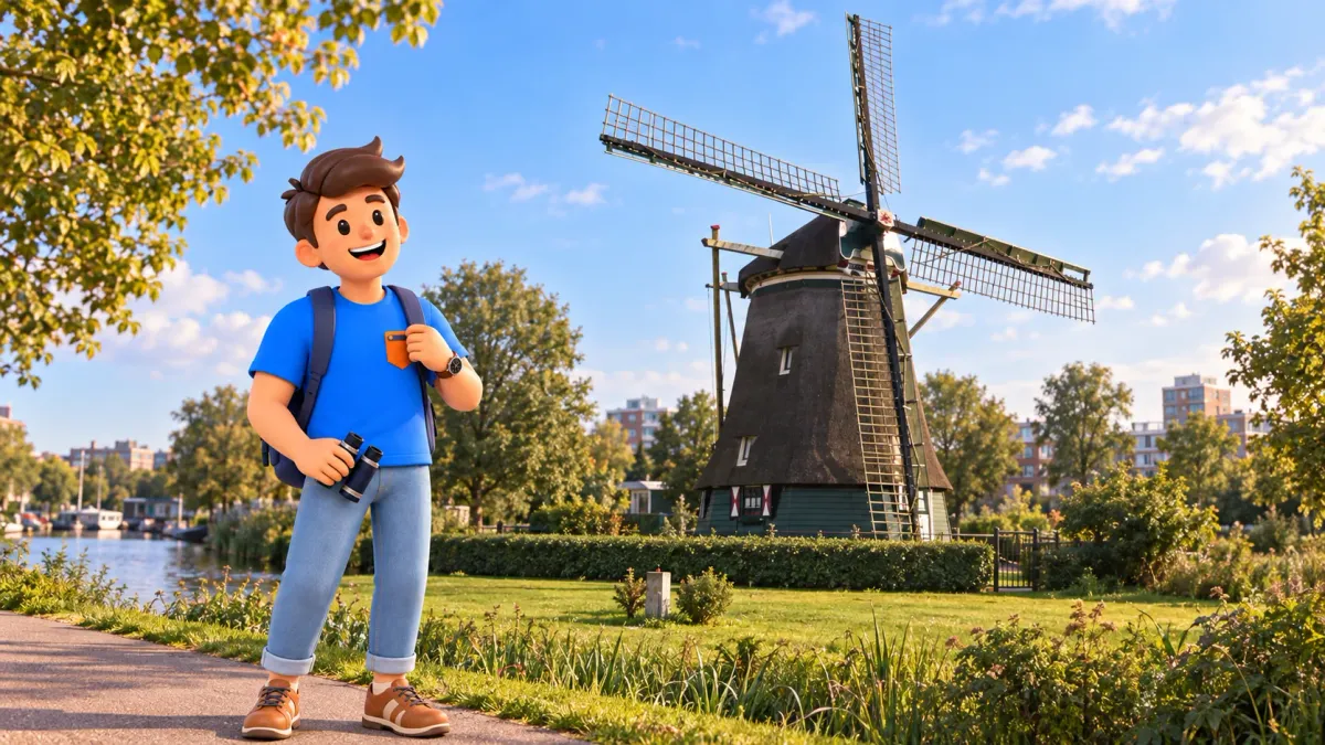
The Amstel offers a gradual way out of Amsterdam's familiar tourist centre. City façades and bridges remain close at first, then the scale changes, views open and the river acquires a different setting. At Riekermolen, the walk reaches a clear historical destination: water becomes a question of managing land as well as enjoying reflections. This itinerary suits a day when you want to walk, look and notice transitions instead of moving through several museums. Its main subject is the connection between the busy centre and the city's southern reaches.
Allow around four hours, for example from 11:00 to 15:00, from Magere Brug to Riekermolen at De Borcht 10. A mapped version via the Berlage Bridge area is approximately 5.5 kilometres, a route calculation rather than our own measurement. Four hours includes looking, exterior visits and rest; it does not mean four hours of continuous walking. The return journey, a full restaurant lunch and additional attractions require more time. Decide how you will return before starting, including the walk needed to reach any suitable public transport connection.
Choose a day for a longer walk
Take this route when several kilometres on foot fit your plans and energy. Do not attach it automatically to an already substantial museum day because the windmill appears close on a city map. Parts of the connection use ordinary streets, crossings and transport infrastructure. This is not an uninterrupted quiet waterside trail. Comfortable shoes, water and suitable clothing will help. In strong wind or persistent rain, shorten the programme consciously rather than making arrival at the mill the sole condition for a successful day outdoors.
Try RoadMe for a fully developed personal route or trip plan based on your interests and preferred pace. The app makes it much more convenient to connect a long walk, worthwhile stops and the rest of your holiday into one thoughtful programme.
Check a current pedestrian route, especially around larger roads and junctions. A map identifies connections, while signs and available paths determine the practical choices on the day. Do not use a cycle lane or closed waterfront simply to preserve a neat line beside the river. Our schedule allows time for a relaxed pace and observations. If walking together, agree that finishing earlier is possible. That shared understanding is more useful than assuming everyone will want the same distance once the afternoon is underway.
11:00: begin beside the Skinny Bridge
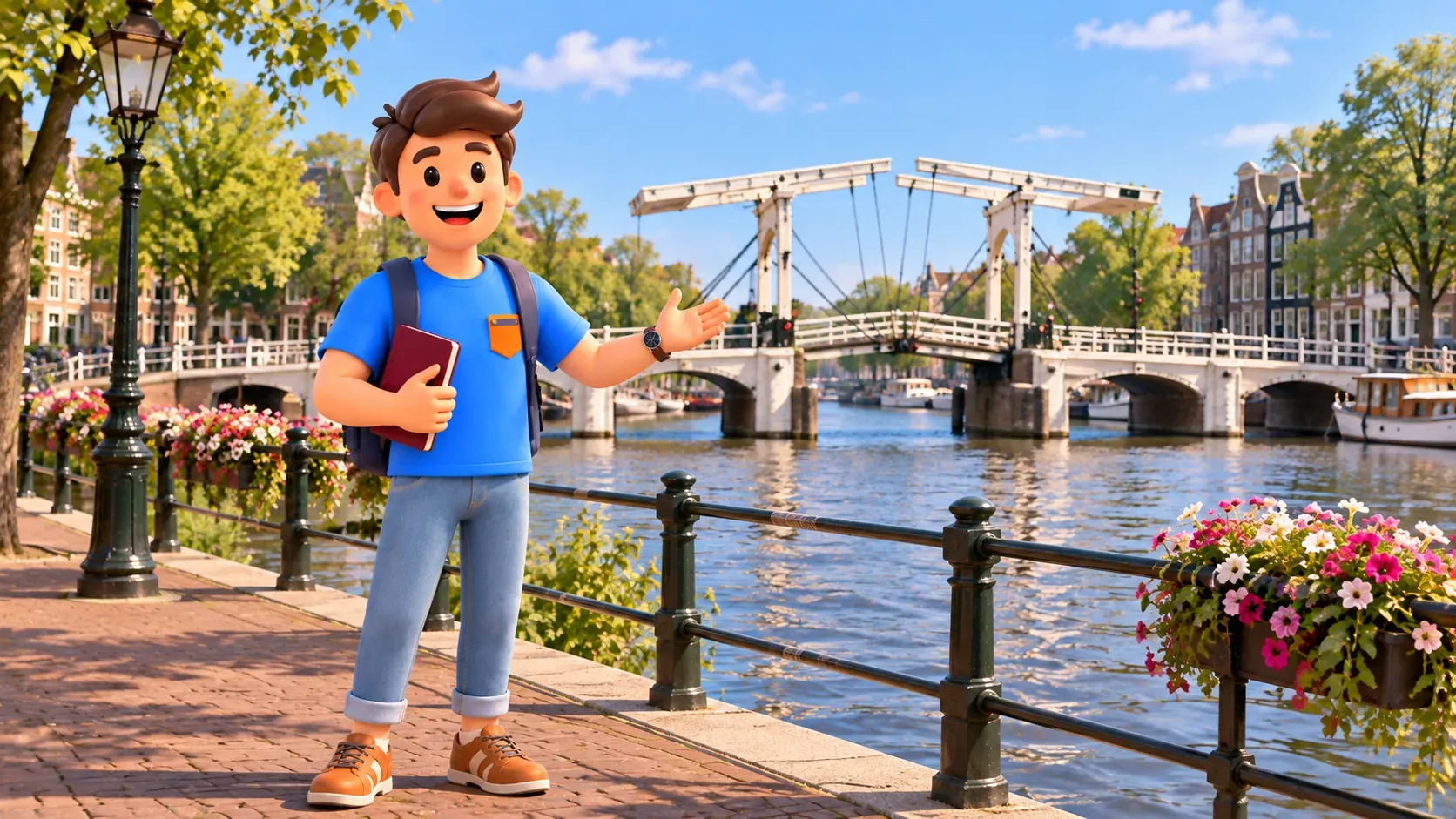
Keep about twenty minutes for Magere Brug and the nearby central Amstel. The white wooden structure presents a familiar image of the river, where bridges connect the banks and water remains part of everyday movement. Look along the channel and then at the bridge from the side. That is enough for the beginning of this longer walk. There is no need to wait for illumination, an opening span or a special event. Today's interest is a city that gradually changes as you continue south, rather than one perfect moment to capture.
Arrange the next section to reach the eastern urban connection towards Weesperzijde using public streets and crossings. From there, cross Nieuwe Amstelbrug to the western side and continue towards Amsteldijk and the western approach to Berlagebrug. The bridges provide useful orientation between banks. They are not additional lengthy sightseeing stops in this itinerary. The aim is to experience the river within the city while preserving enough time for the southern section. Use the actual pedestrian connection rather than assuming the water's edge itself is always a continuous walking route.
An hour beside the urban Amstel
Between 11:20 and 12:20, follow this urban section with brief stops. The hour includes time to look, not just movement between two points. Notice waterfront life on the eastern side, then compare the perspective after crossing west. The same bend feels different from the opposite bank. You do not need a photograph of every bridge. Choose one broad view and one smaller detail: a line of moored boats, a reflected frontage or the contrast between a busy street and a calmer patch of water.
The gradual transition is more interesting if you do not expect the city to turn instantly into a postcard of open fields. Housing, traffic and contemporary buildings remain along the way. Larger roads are part of real Amsterdam too, showing how the river intersects everyday infrastructure. For a different day with a shorter central riverside experience, consider our evening walk along the Amstel. Today's purpose is different: follow a change of setting over a longer distance, without expecting every metre to deliver the same type of view.
Notice how the distance between a pedestrian and the water changes. In one place, pavement and façades feel close; elsewhere, the shore seems broader and the view extends farther. Not every jetty or deck is public. Remain on the permitted route and respect private boats and homes. The river gives the walk a direction, but it does not remove the boundaries of individual spaces. A short departure from the waterfront can be the most sensible way to continue, rather than a mistake that must be corrected immediately.
12:20: pause before continuing south
Allow about thirty minutes for your own break near the western Berlage Bridge approach. This is an area reference, not a compulsory café recommendation. Choose somewhere suitable according to conditions and available space. If eating, account for actual service time; a substantial lunch may need longer. Do not start the next section hungry simply to retain the example schedule. The route is flexible enough for a useful pause to matter more than matching every minute. A break also makes the change between the urban and southern sections easier to appreciate.

This is a good point to decide whether you want to continue. A significant part of the distance remains, and reaching the windmill need not become a promise made at the start. If you finish with the urban Amstel, you have still had a worthwhile walk. If continuing, check your water and the onward route. The southern part does not promise cafés every few minutes. Preparation can stay simple: know where the programme ends, how you will return and that the mill is an exterior destination.
South towards Amsteldijk
From 12:50 to 14:15, allow around eighty-five minutes to reach Riekermolen, including photography pauses. Follow current public pedestrian connections towards Amsteldijk and De Borcht. Around transport infrastructure, the route may turn, leave the river and require crossings. A street name alone does not establish a continuous comfortable pavement along its entire length. Use permitted pedestrian options. When water comes back into view, return your attention to the changing setting rather than to an obligation to remain directly on the bank at every moment of the walk.
Wider views do not mean the city has entirely ended. Southern Amsterdam combines greenery, housing and infrastructure, and the windmill stands in a modern urban environment. That makes the finish more interesting than an image of old Holland suspended outside time. A historic structure survives beside current needs and everyday life. Notice how trees, the river line and more distant buildings alter your sense of space. Some open views appear only briefly. The transition between enclosed and open can become the most memorable quality of a longer route.
Put the camera away for part of this section and compare the experience with the start. Which sounds remain, which have faded and where does your eye now travel? There is no need to classify every stretch as beautiful or unattractive. The differences provide their own interest. If tired, use a suitable safe place to stop and adjust the remaining schedule. Time allowed for looking helps keep the walk unhurried, but it does not replace your judgment about energy. The afternoon should remain enjoyable rather than become a test of compliance with an itinerary.
14:15: Riekermolen from outside
Allow around half an hour at Riekermolen, De Borcht 10, south of Amstelpark on the western side of the Amstel. Its dark, tapering thatched body and distinctive sails form a recognisable silhouette. Start with the whole structure from a permitted public viewpoint. Look at its relationship with land and water rather than aiming only for a close photograph. People live inside, so there is no ordinary tourist interior visit. Doors, windows and private grounds do not become part of an excursion simply because the building has heritage status.
The mill dates from 1636, but it has not stood beside this part of the Amstel throughout that time. It originally served the Riekerpolder near Sloten and Nieuwe Meer. Dismantled in 1956, it was rebuilt at its present location in 1961. That history changes the view. This is not an untouched seventeenth-century fragment fixed forever within its original landscape; it is a preserved structure relocated during the city's transformation. Modern buildings nearby do not invalidate its importance. They help explain that the preservation of heritage has a history too.
Its purpose concerns pumping water and draining a polder, rather than grinding grain. In this kind of mill, wind power was put to practical work managing water levels. That distinction is enough to make the silhouette more meaningful: a Dutch windmill does not automatically mean flour production. Water management remains important in the Netherlands today. However, this visit does not promise a running mechanism or turning sails at a particular hour. The ability to use the structure and its actual operation during your arrival are separate matters; an exterior visit remains worthwhile either way.
A Rembrandt statue nearby recalls the artist's connection with the surrounding landscape and his drawings. Do not infer that he saw this mill in its present location: it was moved here much later. This small distinction keeps the story accurate without requiring a lengthy lecture. Consider the artist's relationship with the river and surroundings separately from the history of the relocated structure. Sometimes the most interesting part of a familiar visitor image lies precisely where two recognisable details need to be understood with a little more care.
Finish and plan the return
Between 14:45 and 15:00, keep another fifteen minutes for a short rest and deciding the next journey in a suitable nearby public place. Do not assume a transport stop sits directly beside the mill or that a café will have space. Check the complete pedestrian connection to a suitable stop or station and the service arrangements for your date. Returning on foot adds a substantial distance and needs its own time. This four-hour programme ends here; it cannot quietly become a complete circular walk back to the centre by 15:00.

With RoadMe, organising the whole trip around your interests becomes much more convenient and effective. Try a personal plan in the app to bring longer walks, other experiences and rest into a rhythm that suits you.
Continuing to Ouderkerk aan de Amstel, adding a polder circuit or taking a ferry are separate possibilities with different distances and conditions. Do not append them automatically to this itinerary. Today's walk already has a clear story: an urban bridge, a changing river and a mill explaining a practical relationship with water. It works without a detailed catalogue of every building along the way. Walk attentively, distinguish historical facts from attractive assumptions, leave time to rest and remember that the return journey also belongs to the real holiday.


