
Navy Yard in Two Hours: Parks and an Anacostia River Walk

Navy Yard offers a different riverside chapter of Washington: contemporary public spaces, neighbourhood streets and the Anacostia rather than another sequence of national memorials. A two hour walk can connect Canal Park, Yards Park and a view towards the Frederick Douglass Memorial Bridge, with enough room to slow down beside the water.
The route stays in open public spaces. The neighbourhood name does not mean that the military Washington Navy Yard is part of the walk, and no access to military premises is promised. Begin with Canal Park, continue to Yards Park and choose an available section of the riverwalk for your final view. Crossing the bridge is a separate extension.
Choose a compact public waterfront walk
The three parts work at different scales: an urban park within the neighbourhood, a broader public riverside setting and a long view towards a major bridge. That progression gives the outing a clear shape without requiring a long distance. The aim is to experience the relationship between a changing urban district and its river.
RoadMe can build a complete personal itinerary around your interests, dates and preferred pace, giving a waterfront break its natural place in your Washington trip. Planning in the app makes it more convenient to balance relaxed outdoor time with the museums, landmarks and neighbourhoods you want to explore.
Two hours is an editorial estimate for local walking, brief observations and a comfortable pause. It does not include the journey to the area, a substantial restaurant meal, a sports event or a full bridge crossing. If any of those is your main reason for coming, make it a deliberate part of a longer programme.
Check the day’s local activity before choosing your arrival time. Events can affect crowds and the atmosphere around the district, while works or maintenance may change a public path. This route does not promise an empty waterfront or access to every section at all times. Follow current signs and choose open public connections.
Begin at Canal Park
Canal Park introduces the neighbourhood through a designed public space away from the immediate river edge. Begin by looking at how the park relates to surrounding buildings and streets. It is a useful reminder that a waterfront district consists of more than the strip beside the water: local public places also structure everyday life.
Notice where people can pass through, pause or gather, and compare the scale of planting and paved areas with the buildings around them. A contemporary park can reward the same attention to space that you would give a historic garden. You do not need a special event to appreciate its role in the neighbourhood.
Do not build the outing around a water feature running, an ice rink operating or a scheduled programme. Such uses depend on season, maintenance and current arrangements. The basic walk treats Canal Park as a public landscape, with any activity a possible extra after checking the day’s conditions rather than a guaranteed attraction.
This is also a useful moment to agree on the group’s energy. If you have come after a long museum visit, keep the first stop light and preserve the riverside pause. If the district itself is your subject, spend longer observing its relationship with the streets. The same route can support either rhythm without adding more places.
Before leaving, identify the public connection towards Yards Park and use ordinary crossings. Do not assume that a visually direct line through a development is necessarily a public route. Read signs and follow the available pedestrian network. The short urban link is part of the experience, not dead time between the parks.

Let Yards Park open the view
Yards Park changes the scale by bringing the walk to the Anacostia River. Opened in 2010, it represents a more recent chapter of public waterfront design in Washington. Its value for a visitor lies in the combination of urban setting, public space and a river landscape, rather than in a single object that must be examined closely.
Take a moment to look back towards the buildings before turning fully to the river. The transition explains the neighbourhood’s character: new public access and places to linger are part of how a former working waterfront can acquire another role. The exact scene continues to evolve, so avoid expecting an unchanged image from an older travel photograph.
Choose an available place for a real pause. Sitting or standing quietly by the river can be the central experience of the outing, not merely a gap before the next landmark. Watch the length of the waterway, changing light and the way the opposite bank frames the view. Boats or organised activity are optional elements, not promises.
Water features and the canal basin have their own current rules and operating arrangements. This article makes no promise of swimming, paddling or fountain operation. Read local instructions and keep children appropriately supervised near the water. A public park beside a river should not be interpreted as a bathing area.
If a section is busy or unavailable, choose another open public part rather than insisting on a particular photograph. The route is successful when the group has time at the river, even if the exact seat or viewpoint changes. Keep pedestrian and other shared routes clear and allow people moving through the area to pass comfortably.
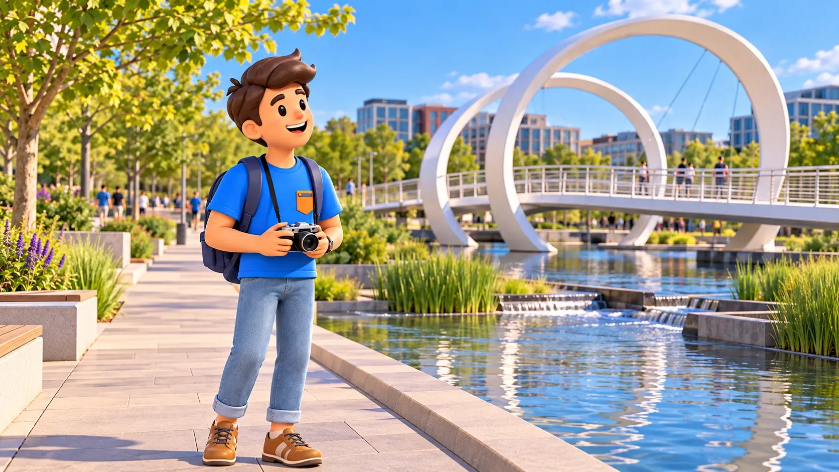
Follow a short riverwalk section towards the bridge view
Continue along an open public stretch of the riverwalk in the direction that provides a useful view towards the Frederick Douglass Memorial Bridge. Keep this a short extension of the park visit. You do not have to reach the bridge approach or cross the river for the structure to contribute a strong final image.
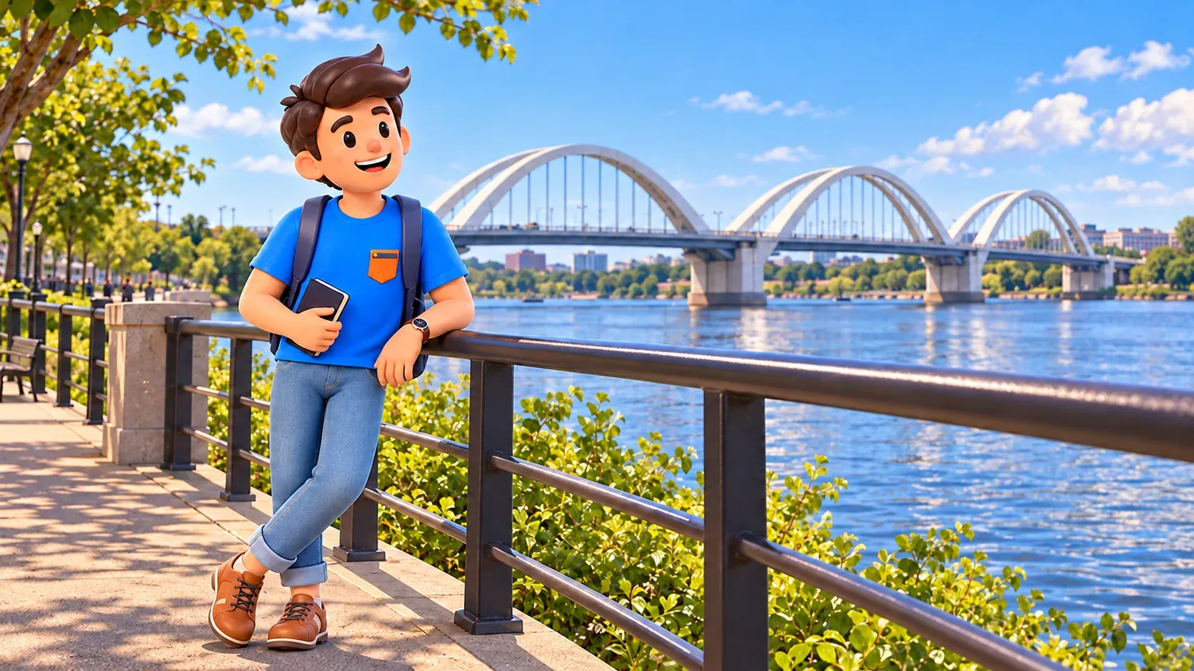
The new bridge was completed in 2021. Its three arches give it a distinctive profile and make a clear contrast with the parks and nearby urban buildings. Named for Frederick Douglass, it is a transport connection as well as a visible part of the river landscape. A view from the waterfront is enough for the basic route.
Look at how the arches divide the sky and how the structure appears above the water. Then compare the bridge’s scale with people and buildings along the bank. This simple observation links infrastructure with landscape without requiring a technical account of engineering or a full historical biography at the end of a relaxed walk.
A bridge crossing is a different choice. It adds distance, approaches and an onward connection on the other side, even when a map makes it look like a small extra. If crossing is important to you, check current pedestrian access and plan the return separately. Do not silently add it to the two hour estimate.
There is also no need to continue into a military area or follow a closed shoreline segment. Public access can have boundaries. Use signs, stay on open routes and turn back where appropriate. A short out and back gives the same riverside perspective without making an unsupported promise of an uninterrupted circuit.
Decide what belongs inside the two hours
A possible rhythm gives Canal Park a brief introduction, allows time for the street connection, then gives Yards Park and the riverwalk most of the attention. Preserve a pause instead of using every minute to extend the distance. These are planning choices, not measured stage times, and they should change according to the group.
If photography is the interest, take time to compare the enclosed neighbourhood view with the wider river scene. If rest is the priority, keep the walking section shorter and give the waterfront a longer stop. With children, one simple observation such as finding the bridge’s arches can be enough to connect the final part to the earlier parks.
Use RoadMe to turn that preference into a personal plan for the whole trip, based on your interests and the dates and pace you choose. The app makes it easier to organise Washington days in which a relaxed river walk complements bigger visits instead of competing for the same limited time.
A meal, match or evening event can become the reason to stay longer. Treat it as a separate decision with its own booking, arrival and time requirements. Restaurant queues and service are variable; an event also changes how the area feels. A two hour promenade is not a promise that every additional activity will fit before your next commitment.
Keep the arrival and departure in mind throughout. Finishing with a bridge view does not automatically put you at the best transport connection. Leave enough energy and time for the walk back towards the route you have chosen. The most comfortable finish may be at the park rather than at the farthest possible viewpoint.
Prepare for the river conditions
The river edge can feel more exposed than the streets, with wind, sun or a change in temperature. Carry what the weather calls for and plan a break before discomfort determines the route. Shade and seating are not guaranteed at every desired location, and public toilets should be checked locally rather than assumed beside each named park.
This article does not establish a surveyed step free route. Pavement conditions, temporary works and the exact connection you choose can affect accessibility. Visitors with particular mobility needs should review the relevant public routes in advance. Avoid using private premises or an institutional entrance as a substitute for an appropriate public path.
Finish while the outing still feels restorative. Canal Park, Yards Park and the bridge view offer a distinct Washington experience through contemporary public space and the Anacostia landscape. For the wider choice of neighbourhoods, central monuments and museum days, consult the guide to choosing a route around your interests.


