Washington boundary stones: traces of the original district
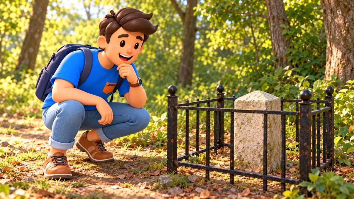
Some Washington monuments barely appear in the capital's ceremonial image. Small stones behind iron enclosures look modest beside museum facades, yet explain how the original capital territory was marked on the ground. A boundary could not remain a line on paper. Someone had to survey it, follow it and provide recognisable physical points.
Two examples are the North Corner and East Corner boundary stones of the original District of Columbia. They are separate, distant locations, rather than neighbouring attractions for a quick walking loop. Choose one suitable stop, understand its purpose and check the permitted approach before travelling. The whole series is unnecessary for a first encounter.
The original district was larger than today's
The new capital territory beside the Potomac combined land from Maryland and Virginia. Its original shape was a square with sides ten miles long, rotated so it often appears as a diamond on a map. Its area was one hundred square miles. Those dimensions describe the original design rather than today's district without qualification.
In 1846, the Virginia portion was returned to Virginia. Traces of the initial boundary do not everywhere coincide with Washington's present border. A Virginia stone can recall the former territory without marking the current edge of the district. This distinction matters more than memorising a long list of addresses.
RoadMe helps turn an interest in city history into a personal route or whole trip. In the app, choosing suitable districts and distributing visits and pauses around your time and pace is much more convenient.
Compare an old outline with a modern map before going out. You need not perform a survey yourself. Recognise the square and understand why parts of its perimeter now lie beyond the district. The small marker then becomes part of a large plan instead of a random old post.
Turning a drawing into a boundary
The original survey began in 1791 under Andrew Ellicott. Astronomer and mathematician Benjamin Banneker participated in its early stage. Jones Point was chosen as the southern starting corner. The team completed its survey on both sides of the Potomac in 1792, translating a defined territory into measurements and actual locations.
Separate surveying the territory from designing the federal city's streets. These related tasks had different purposes. Boundary stones marked the limits of the designated area. They were not a series along the future National Mall and did not determine every street or the position of every later monument.
The series comprised forty markers around the perimeter at approximately mile intervals. That does not mean forty equally preserved original stones with identical access are available now. Losses, replacements, moves and changes in surrounding development make each current location a distinct case, unsuitable for one blanket promise.
Banneker adds a human dimension to the scientific work, but avoid crediting one participant with the entire project. A team made the measurements, and the beginning and completion were different stages. A few names and the central task suffice: make the territory's limits measurable and recognisable on the ground.

What a small stone can show
The markers are sandstone. Their size, age and exposure can make them look unlike tidy museum objects. Start with the whole form, then examine visible faces from an appropriate distance. Not every old inscription will be legible. An inability to read everything does not make a visit pointless or the surviving object less meaningful.
The system includes references to jurisdiction, neighbouring territory, installation dates and boundary directions. Corner markers have their own characteristics, so expect differences in the arrangement. Reading one visible portion is more useful than trying to get around a closed enclosure for a complete transcription. The available view should determine your observation.
An iron fence belongs to the preservation story and is not necessarily eighteenth-century material. Protecting the stones gained attention in the early twentieth century, including work by civic organisations. Separate the age of a marker from its protective surroundings, even when both now appear to form one familiar historic site.
Do not make rubbings, add chalk or clean surfaces for a picture. Nor should you move branches, open protective structures or lean on them. Ordinary observation is enough. What matters is the surviving connection with territorial history, rather than perfect photographic readability of every weathered mark on its surface.
The North Corner is not the Blair Circle marker
The North Corner stone is near East-West Highway in the Silver Spring area. The preservation catalogue places it near number 1852, immediately south of the highway at the wooded edge west of Chase Crest. Historic registration also identifies the 1800 block of East-West Highway. These refer to one particular small object, not any prominent marker nearby.
A useful warning concerns Blair Circle, where 16th Street, Eastern Avenue and Colesville Road meet. The marker there is not among the stones installed by Ellicott's team. A northern location and a plausible appearance do not establish that you have found the original cornerstone. Check identity before interpreting a photograph or planning the stop.
Registration dates the North stone to 1792 and associates its enclosure with 1916. That distinguishes the early marker from later care. A condition description in an old document is not a precise report on its surface today. The historic account establishes identity without guaranteeing what can currently be seen from a path.
An address near residential development does not authorise crossing private yards or using every apparent passage. Check a permitted approach from public space before travelling. If the way is closed, unclear or unsuitable after rain, omit close inspection. This article does not confirm unrestricted daily access or a step-free path to the enclosure.
The East Corner has a woodland setting
For the East stone, the catalogue gives a position across from 300 Eastern Avenue NE and a short trail near the junction with Southern Avenue SE. The house number is an opposite-side reference, not an entrance through that property's grounds. Registration identifies a site east of the junction of those streets.
An urban map location does not guarantee a dry, level viewing area or the visibility of an archive photograph. Leaves, moisture and approach conditions affect the experience. Avoid turning a short stop into a search through vegetation when the permitted way is unclear. A compact subject should not become an improvised woodland expedition.
The surviving cornerstone belongs to the original series, with 1792 appearing in its registration. The enclosure and later restoration add another time layer. You can recognise both the early definition of the district and subsequent efforts that kept a small object visible amid changing surroundings. Its setting is part of the story.
Check current trail availability separately. A catalogue description establishes location rather than today's walking conditions. Use an evidently permitted approach, avoid neighbouring residential land and never cross a closed protective fence to read a hidden face. If a view is restricted, acknowledge that instead of inventing unseen details from someone else's image.

One corner is enough for a first visit
North and East are not neighbours. Their connection is the original district's geometry, rather than a compact tourist route. Choose whichever fits your location and programme after checking access. A second distant marker need not become compulsory to complete a theme in one day. The historical relationship survives without a continuous walk.
Prepare in a simple order: select the object, establish a public approach and return, then decide whether another local activity makes sense. Do not calculate the visit entirely from a straight line between pins. Roads, crossings and legitimate entrances matter more to a pedestrian than an attractive line drawn on a screen.
RoadMe helps work out a personalised route or entire trip around your interests. In the app, connecting a small historical stop with suitable districts, main visits and rest is easier than building a day around distant points.
If conditions are unsuitable, begin with maps and keep a physical visit for another day. That is a useful way to understand the plan without an obligation to travel immediately. A short excursion should retain a comfortable scale for everyone. There is no need to prove your interest by visiting an inconvenient location.
A question that makes the stop more interesting
What distinguishes a border on paper from one on the ground? A drawing needs a line. The landscape needs measurements, a durable sign and an understanding of which side belongs to which territory. A modest stone reveals that difference without an advanced lesson in surveying. It makes an abstract outline tangible and local.
With a child, draw a square and show four corners without presenting it as navigation. Explain that the real markers defined a large perimeter, not four nearby corners of one park. This makes it easier to understand why the entire system cannot be expected on a small afternoon walk, however simple the diagram looks.
Adults can compare the ages of the stone, fence, neighbouring buildings and road. They arrived at different times but are visible together. This turns an ordinary urban edge into historical layers and encourages attention outside the ceremonial centre. You need not date every element precisely to recognise that they did not all appear together.
The editorial illustrations convey a subject and a way of looking, not exact entrances, every inscription or guaranteed path conditions. An abstract square in a picture is not a map. Use current information about the particular marker and permitted approach for an actual journey, rather than following the composition of a generated scene.

A small story within a large city
Keep three ideas: the district originally had a square outline, stones marked its perimeter, and later history changed territory and setting. Do not guess today's number of surviving originals from an old account. Distinguishing the initial system from current conditions is more useful than an unsupported total for a first encounter.
Write down which corner you considered and what you actually saw from an authorised place. Do not fill gaps with inscriptions recalled from another person's photograph. An honest small observation is better than silently presenting a previous condition as your own experience. The history does not require a claim to have seen every face.
Choose your emphasis beforehand. Map enthusiasts may enjoy comparing outlines; people interested in materials can focus on sandstone and the later fence. If time is limited and access unconfirmed, a distant visit may not fit. There is no compulsory way to appreciate this history or minimum number of markers to collect.
Do not remain merely to reach an arbitrary duration. Observe the available details, connect them with the outline and decide whether your main question has been answered. A short stop gains value through attention. Leave time for a calm return and a comfortable pause, rather than adding another remote point at the last moment.
Boundary stones reveal Washington through measurement, work and preservation. They need neither a panoramic view nor a grand ceremony to have substance. Sometimes one weathered surface behind a fence is enough to turn a familiar map outline into the history of an actual place, and give an otherwise ordinary journey a memorable question.