
From Viktoriapark to Admiralbrücke: an unhurried Kreuzberg walk

Begin in Viktoriapark, walk through Bergmannkiez and finish at Admiralbrücke on the Landwehr Canal. This route shows a quieter side of Kreuzberg through three different settings: a small urban hill, residential streets with cafés and water between two banks. Allow around three and a half hours, including rest. Climbing to the summit is optional, and the waterfall depends on season and weather, so the outing should not rest on one photograph you expect to reproduce.
Choose this walk for a day when you want to look around without arranging several admission tickets. There is no compulsory museum or guided-tour meeting time. There are ordinary street crossings, a connection between different parts of the neighbourhood and room for an unplanned pause. Do not automatically combine it with an evening covering all of Kreuzberg. Three and a half hours outside is already a complete programme, particularly after a busy morning sightseeing elsewhere in the city.
Connect the park, Bergmannkiez and canal
Start at U Platz der Luftbrücke and use public pavements to reach a suitable Viktoriapark entrance. Afterwards, head east along Kreuzbergstraße, cross Mehringdamm at a marked crossing and continue on Bergmannstraße. Choose the connection via Zossener Straße, Gneisenaustraße and Baerwaldstraße towards Urbanhafen. Follow the available public side of Planufer east to Admiralbrücke, cross the bridge and use ordinary streets towards U Kottbusser Tor. A current map is needed for the specific turns and crossings.
Try RoadMe to develop a personal plan for the whole trip around interests, dates and pace, distributing parks, neighbourhoods and rest among other experiences. The app makes it more convenient to give this quieter Kreuzberg walk enough time and a suitable place in the rest of your Berlin visit.
The 210-minute outline gives twenty minutes to the station approach, forty-five to the park, twenty to Bergmannstraße and twenty-five to a pause. Allow thirty-five minutes towards the water, thirty for the bank and bridge, twenty for the final station approach and fifteen as reserve. Movement within sections is included. These are editorial estimates, not a measured track. The park entrance you select, an optional climb and extra stops change the actual duration of the outing.
The route involves several streets and turns, so open a current map before starting. It does not promise one direct path from hilltop to canal. For less walking, choose the park with nearby streets or begin around Bergmannkiez and keep the waterside finish. Do not compensate for a shorter schedule by rushing every section. A comfortable pace matters more here than completing the entire suggested sequence between the two stations at any cost. Choose the part that suits the day.
Viktoriapark: a small change of height in a large city
Notice the terrain first. In Berlin, even a relatively modest incline changes the experience: a path stops being merely a connection between blocks and becomes an outing of its own. Work on the park began in 1888 around the Kreuzberg hill and its existing monument. That relationship explains why the architectural accent and green setting belong together, although a visitor can choose to experience the lower part without making a summit visit a requirement.
Compare an open lawn, a tree-lined path and the rockier setting around the artificial waterfall. Their characters differ without an exhaustive circuit. Do not make finding the highest available point your first task. Notice how the view, light and distance from road noise change. With companions, begin with a manageable shared section, then decide whether to go higher. That decision is easier before some people have already climbed ahead and started waiting for the rest of the group.
The summit holds Karl Friedrich Schinkel’s cast-iron national monument, associated with the wars against Napoleon. A brief historical orientation and a look at its outline are enough for this walk. There is no need to analyse every figure if greenery and the urban view interest you more. Notice how the monument marks the hill and directs attention. The stop can have historical substance without becoming a long lecture on military history before you are ready to continue through the park.
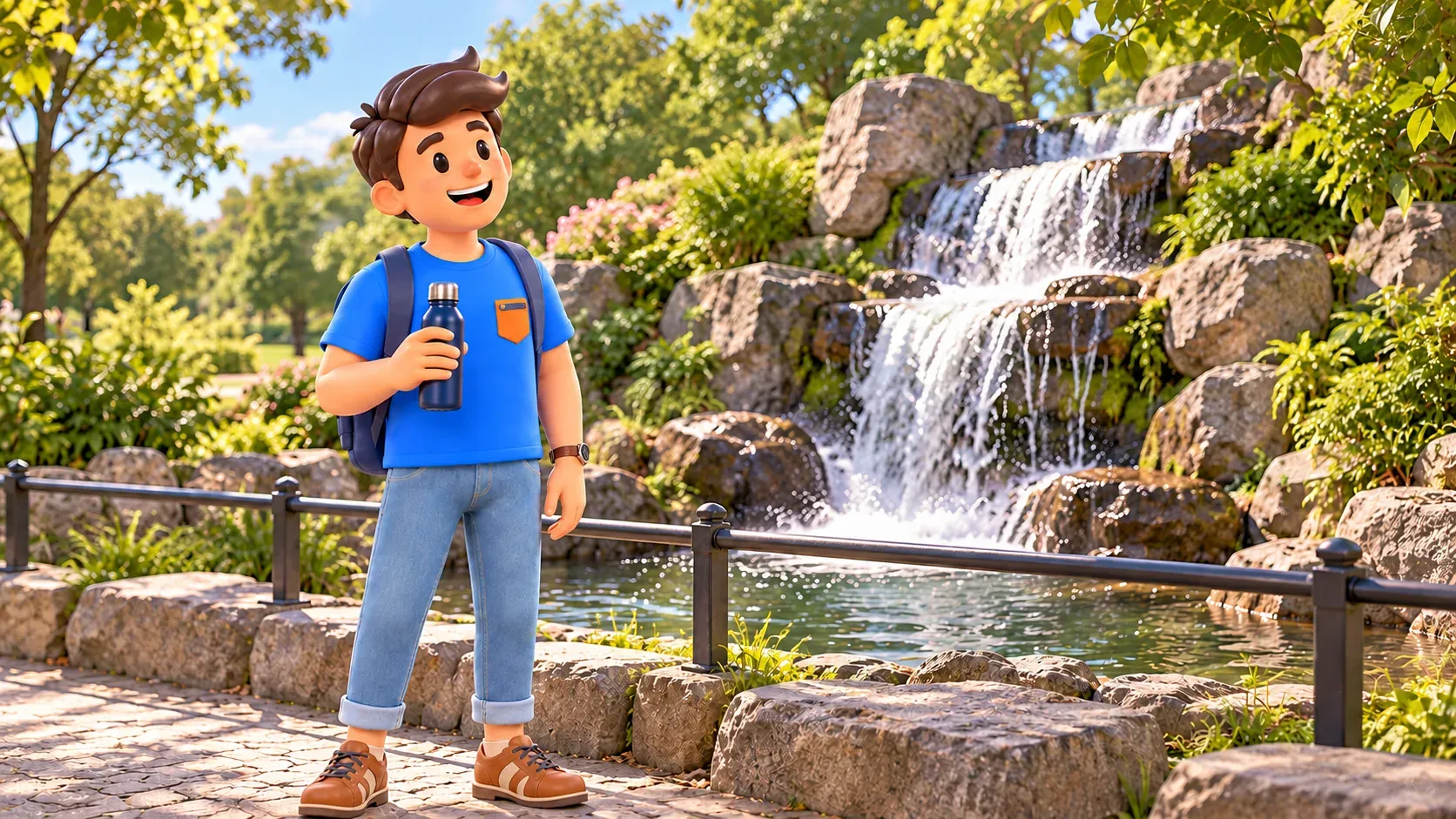
The waterfall is a seasonal possibility
Viktoriapark’s waterfall is artificial and operates seasonally. Municipal information describes operation from spring until mid or late October, depending on weather; water cannot be guaranteed for every date. An October visit may find a running cascade or one already switched off. Choose the park for the combination of terrain, trees and rocks, treating flowing water as a possible additional experience. Conditions on the day matter more than a photograph taken in a different season.
If water is flowing, stop in an available place and listen to how its sound changes the urban background. If the cascade is dry, look at the constructed rocky landscape and continue your chosen circuit. An inactive waterfall does not make the whole park closed or pointless. You need not scramble over rocks for a closer photograph; the path also reveals the design. Leave time for walking rather than trying to prove that the place matches the image you had before arriving.
The hill has slopes, and some approaches can involve steps. If these do not suit you, keep the lower park and select an appropriate exit using the map. Skipping the summit is a valid route choice. A lighter version should not automatically be called universally accessible: surfaces, gradients and connections need to match actual requirements. For this article, ascent is an option rather than a condition you must fulfil before continuing towards the neighbourhood streets and water.
Bergmannstraße: from landscape to residential streets
After the park, head east and cross Mehringdamm at the designated place. On Bergmannstraße, attention changes from terrain to residential façades, smaller shops and cafés. Much of Bergmannkiez’s built character comes from the late nineteenth century, but the relationship between house and street matters more for this walk than a date. Where is the entrance, how does a shopfront change the ground floor, and what appears when you look slightly above the level of signs?
Choose a short section to explore attentively instead of entering every interesting place. An hour can pass easily where you expected twenty minutes. If a shop really appeals, stay deliberately and adjust the remaining programme. Spontaneity works well when everyone understands its time. Otherwise, one person’s pleasant discovery becomes waiting for others, while the planned break disappears without a shared decision. An independent walk should allow changes without hiding the effect they have on the rest of the day.
The twenty-five-minute pause can mean a drink or simply sitting somewhere suitable. Choose any café according to availability and preferences; the outline guarantees neither a table nor a particular menu. Allow extra time for a full lunch. The break gives you rest before the canal connection rather than turning the walk into a series of purchases. Water and a few stationary minutes may be enough to make looking around enjoyable again. You do not need to buy something at every change of scene.

Towards Urbanhafen: keep the walk between the stops
Next, check the connection via Zossener Straße and Gneisenaustraße to Baerwaldstraße and Urbanhafen. This is a longer street section, not the next door around the café corner. Its thirty-five-minute allowance includes movement and modest orientation time; the actual duration depends on where your break ended. Use ordinary pavements and crossings. A green patch on a map is not a promise of public passage through a closed area or private courtyard, so stay with usable street connections.
This part does not need another list of attractions. Notice changes in street width and the gradual approach to water, comparing busy junctions with calmer stretches. An ordinary connection joins impressions and gives companions time to talk about the park. If your feet are tired, shorten the later waterside section while keeping a clear transport finish. The point is not equal time at every stop, but preventing park, street and canal from blending into one tiring period of continuous movement.
Planufer and Admiralbrücke
At the water, continue along the available public side of Planufer towards Admiralbrücke. The itinerary does not require an uninterrupted path directly at the water’s edge: choose an open path or pavement level that suits you. Viewing distance changes here. After close façades, reflections, the opposite bank and gaps between trees give a wider perspective. A short stretch beside the canal can feel like a conclusion if you do not immediately fill it with a search for another compulsory attraction.
Admiralbrücke links Planufer and Fraenkelufer across the Landwehr Canal. Built to Georg Pinkenburg’s plans in 1880–1882, it has decorative metal railings with foliage ornament. This brief history gives you something specific to notice. First look from the bank, then cross on the pedestrian part. You can see both the low overall form above the water and the closer detail of the railing, instead of only taking the familiar photograph along the canal and moving on without examining the bridge itself.
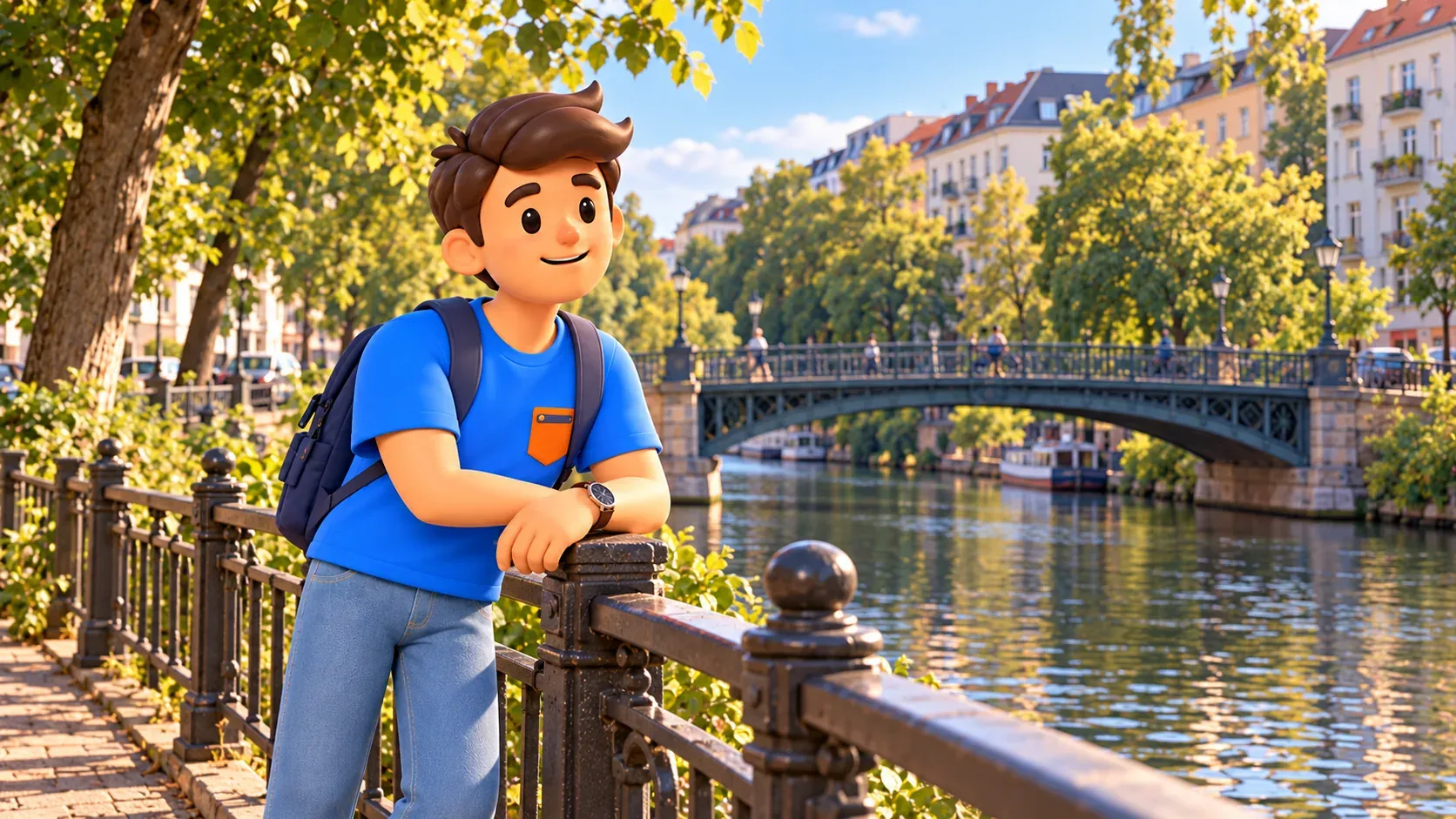
Choose daylight or early evening and keep the final stop brief and quiet. Municipal information checked on 17 October 2026 says visitors are cleared from the bridge at 22:00. This route is intended to finish earlier. Homes are nearby and people continue crossing, so leave a clear way through. A few calm minutes are enough to see the water and understand the place’s appeal. There is no promise of an empty bridge, a particular sunset or an evening gathering as part of the outing.
In RoadMe, it is easier and more convenient to develop a personal plan for the whole trip in which parks, neighbourhood walks and time by the water match your interests and pace. Try placing quieter routes between busier days so rest becomes a considered part of the journey.
A comfortable finish at transport
After crossing the bridge, follow a current map and public streets towards Kottbusser Tor. Do not automatically add Bethanien, the market and another neighbourhood: they make a different outing and need separate time. Our first-time Berlin plan by interests helps arrange other days. This walk already connects three distinct parts of Kreuzberg: green terrain, a residential street and the canal. You can stop there without feeling that several compulsory tasks remain before the experience counts as complete.


