
A Free Strasbourg Walk: Squares, Canals and Vauban Dam
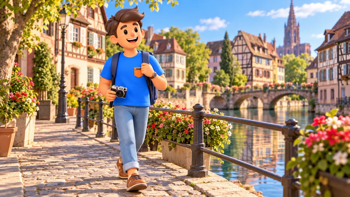
A rewarding Strasbourg walk can begin without buying attraction tickets: compare grand public squares, continue to timbered houses beside the water and finish at the old river defences. The city itself supplies the experience. Street shapes, façade materials and bridges reveal different chapters of its history.
Start at Place de la République, continue through Place Broglie and Place Kléber to Place Benjamin-Zix, then finish at the Covered Bridges and Vauban Dam. Allow roughly two and a half to three and a half hours, including a short rest. This is a planning estimate; approach, return and a long lunch are additional. The route runs northeast to southwest through the centre.
What a free walk includes
The core programme uses public squares, streets, quays and bridges, with no compulsory attraction admission. You choose the pace and can linger at a building that interests you without arranging the entire day around several timed entrances.
Try RoadMe to have a personal route or whole trip plan worked out around your interests, dates, pace and budget. The app makes it much easier to connect walks, selected visits and rest in a programme that suits you.
Food, drinks, transport into the centre and accommodation remain separate costs. A guided tour, boat trip or museum visit is an optional experience, considered afterwards or on another day. You do not need to purchase any of them to follow this outdoor sequence.
Decide how long you want to spend outside. Pleasant weather invites a slower pace; rain or wind may make half the walk and a sheltered break more appealing. Flexibility is one benefit of this format, while weather and energy still deserve a place in the plan.
Take one question along: how do the proportions of public space change? République offers wide views and monumental scale, Broglie an elongated promenade, and Kléber the everyday movement of the centre. In Petite France, water becomes the main thread.
The sequence: grand squares to canals
République makes a useful start by presenting Strasbourg at its broadest scale. Follow available public connections to Broglie, then Kléber. Continue towards Petite France and the former western river boundary of the old city. Returning to République is not included in the route.
| Stop | Main impression | Visit format |
|---|---|---|
| Place de la République | Monumental fronts and a green centre | Exterior observation |
| Broglie and Kléber | Promenade, opera and the long Aubette front | Public squares |
| Benjamin-Zix and Petite France | Timber framing, water and working history | Open streets and quays |
| Covered Bridges and Vauban Dam | Towers, river branches and a wider view | Exterior core; optional terrace when accessible |
Use open public paths between stops. The walk does not depend on crossing private courtyards, restaurants or university buildings. On narrow stretches, pause where other people still have room to pass. The suggested duration is an estimate rather than a measured walk.
If you need to reach the station or an appointment afterwards, leave time for that separate connection. Checking the finish against your next commitment is usually more useful than adding one final attraction to the last half-hour.
Place de la République: monumental scale outdoors
Place de la République developed with the Neustadt, Strasbourg’s substantial late nineteenth-century expansion. Representative public buildings surround an open space with mature trees. Compared with the narrow streets of the old island, the width of the views is particularly striking.
Look towards the Palais du Rhin from an available position on the square. Its substantial form expresses the ambitions of the new administrative centre. Then turn towards the library and other public buildings: they belong to a shared ensemble without having identical outlines or decoration.
Choose a complete view before looking at one detail, perhaps a window pattern, roofline or wall material. Changing scale makes the stop rewarding without needing to approach every doorway and investigate the possibility of an interior visit.
The central green space contains Léon-Ernest Drivier’s memorial, inaugurated in 1936. A mother with two sons shifts attention from grand public architecture to human remembrance. A short introduction needs no exhaustive political chronology: notice how sculpture and buildings use different forms to speak about the past.
Before leaving, compare trees, open ground and façades. The square works through several directions of view. An ordinary outdoor walk is particularly well suited to appreciating that composition as a whole.
Place Broglie: a promenade before the opera
Broglie changes the mood. Its elongated form suggests a promenade, with the opera providing a clear architectural ending. The space once hosted markets, fairs and tournaments; tree planting in 1740 helped establish its later character as a place to stroll.
Compare the theatre portico with the surrounding eighteenth-century mansions. Cultural, administrative and former military functions meet within a small area. The façades communicate those differences from the street, without a performance ticket or access to offices.
First notice the length of the space, then select a part of the portico or a neighbouring building. Columns, repeated windows and open ground establish a rhythm. You can recognise it without memorising every architect’s name.
Events can change the experience, partly screening a view or redirecting movement. Follow available passages. The interest lies in the wider urban ensemble rather than obtaining one compulsory photograph from a single predetermined position.
Kléber: everyday life and the Aubette façade
Continue to Place Kléber, one of the centre’s principal squares. Pause to see how people cross it. After the ceremonial scale at the start, ordinary Strasbourg comes forward through meetings, shopping and journeys across the city.
The long Aubette building was constructed around 1770 for the garrison. Its calm horizontal front defines one side of the square. Compare repeated openings and the building’s length with the smaller divisions of its neighbours. A simple relationship between forms makes architectural history visible.
The monument to General Kléber was inaugurated in 1840. Its position connects personal remembrance with a substantial public space. The figure and its setting are enough for this walk; a complete reading of the pedestal can remain a separate interest.
The Aubette 1928 art interiors have their own visiting arrangements. They are outside the compulsory programme here, while the façade provides a complete reason to stop. If art becomes your priority, check the selected visit and adjust the time remaining.
For a closer comparison of public spaces, use the separate old Strasbourg squares walk. Here, Kléber marks a transition towards tighter streets and the working history of the river neighbourhoods.
Give a short rest enough time
Before continuing to the canals, consider your energy and the remaining daylight. A public bench can provide a simple pause. If you prefer a café, that is a separate choice of spending and duration; add a longer seated break to the overall estimate.
A water bottle and a small snack may be useful wherever consuming them is permitted. Take packaging with you and keep passages clear. The purpose is to recover attention: after a pause, a reflection, carved detail or unusual roof can become a distinct experience again.
Ask companions what they most want from the next section. One person may prefer timbered houses, another the engineering of the bridges. When time is limited, choose a leading interest. Without a succession of paid entrances, it is easier to adjust the pace to the group.

Petite France: read the houses as traces of work
Around Place Benjamin-Zix, the route reaches the Ill and Petite France. Timbered houses connect with the histories of tanners, millers and fishers. Water was a working resource long before reflections became one of Strasbourg’s best-known visitor images.
Look at the framing, projecting storeys and tall roofs. Open attic spaces in certain houses helped dry treated hides. One feature links an attractive form with a practical use, without requiring a list of every owner and rebuilding date.
Place Benjamin-Zix itself resulted from nineteenth-century changes to the built environment. The postcard view therefore has a history too: later alterations created open space and different sightlines. This makes the familiar scene a record of successive transformations rather than something fixed in one distant century.
Follow available quays and vary the scale of observation: a row of houses, the meeting of timber beams, a reflection. Enjoying the architecture from public space requires no meal in a historic house. Working businesses and residential entrances continue to serve their usual purposes.
If a narrow spot is busy, let others pass and linger somewhere with more room. There is no need to produce an empty photograph at every famous front. One unhurried look at the relationship between water and houses can offer more than several similar pictures.
Covered Bridges and Vauban Dam: finish beside the water
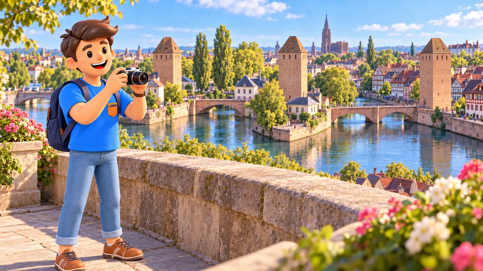
At the Ponts Couverts, brick towers and low stone crossings mark the former river boundary. The name “Covered Bridges” recalls roofed timber galleries that no longer survive in that form. The present stone bridges date from 1863–1865, while the towers have medieval origins.
Vauban Dam stands nearby, upstream. Built in the late seventeenth century, it linked defence with water management: flooding the southern approaches could obstruct attackers. Compare its long body, arches and the river branches from outside. The fortifications walk develops that history further.
The free panoramic terrace above is a welcome optional ending when open. The schedule checked on 22 October 2026 gives November–February hours of 8.30am–4pm; March–April and September–October 8am–7pm; May–August 7.15am–9pm. Account for any updated restrictions before going.
The lower passage and upper terrace have different hours. The lower crossing’s 6am–9pm schedule does not establish access to the roof on a winter evening. If the terrace is closed or an ascent does not suit you, finish from an available public bank. The core walk is already complete.
Keep the day flexible and rewarding
In RoadMe, it is easier to work out a personal plan for your whole trip, fitting walks like this around what you most want to experience. Set your interests, available time and budget so the app can create a route at a suitable pace, with room to rest.
For a shorter version, start at Kléber and continue towards Petite France and the bridges. If monumental architecture interests you more, choose République, Broglie and Kléber. The direction can be reversed, provided you account for the terrace’s seasonal closing.
Finish by choosing one impression from each part: a large façade, a public square, a waterside house and an engineering structure. Together they create a connected picture of Strasbourg without compulsory ticket offices along the way. Time and money remaining can go towards your own interests.


