
Siemensstadt: an architecture walk beyond central Berlin
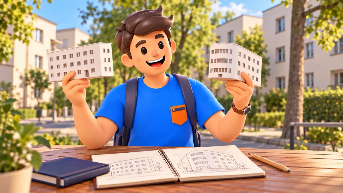
Set aside three hours for an architecture walk through Berlin’s large Siemensstadt housing estate. Begin at U Siemensdamm, approach Scharoun’s buildings on Jungfernheideweg, continue to Gropius, then follow Goebelstraße towards Bartning’s long block and Häring’s residential rows. After a break, return to the same station. Add the journey from your accommodation separately. The main visit takes place outside on public streets, without a general estate admission ticket. Its purpose is straightforward: to discover how several architects answered the same question about the shape of modern housing in noticeably different ways.
This is a good outing when you want to look more closely at Berlin after its central landmarks. The experience comes from comparison rather than a single famous façade: a rounded corner and a precise rectangle, a continuous frontage and the open space between buildings. Curiosity is enough; specialist knowledge is optional. The estate remains inhabited, which keeps everything at a human scale. Windows, balconies, entrances and trees belong to daily life. Looking at those relationships gives an architectural walk substance without requiring you to learn a list of dates or visit every possible building.
How to organise a three-hour walk
RoadMe makes it much more convenient to develop a personalised plan for your whole trip around your interests, dates and pace, including Berlin’s architectural neighbourhoods. Try planning in the app to fit walks, museums and breaks into a programme that uses your time efficiently.
Allow 20 minutes for the approach and first look at Scharoun, 30 for the Gropius section, 30 for Bartning’s long building and 35 for the comparison with Häring’s rows. Add a 25-minute break and 40 minutes for a relaxed return with orientation. Together these make 180 minutes. They are editorial allowances, not a measured track or the duration of a professional guided tour. Observation stops and short connecting walks belong within the corresponding blocks. If reading the interpretation takes longer, extend the outing rather than borrowing time from the return.
Jungfernheideweg leads from the southern approach towards Goebelstraße; continue viewing the buildings from public space along that street. The local architecture trail provides useful reference points: Scharoun at Jungfernheideweg 8, Gropius by the Goebelstraße junction, Bartning around Goebelstraße 55 and Häring around number 60. These identify interpretation stops, not invitations to enter the addresses. Return using the same understandable public street connections. Follow current signs if access changes, keeping out of railway land and residential staircases. This outline gives a sequence of observations rather than pretending to provide live turn-by-turn directions.
Which Siemensstadt are you visiting?
The name appears in several contexts: the industrial district, historic housing and the developing Siemensstadt Square project. This route concerns Großsiedlung Siemensstadt, also called the Ringsiedlung. It is a housing walk, not a factory visit or an inspection of the new development. Much of the historic ensemble lies in Charlottenburg-Nord, with another part in Siemensstadt in the borough of Spandau. Understanding that distinction prevents confusion when searching for images or choosing where to arrive. The programme is built around homes and landscape, rather than the assumption that every place bearing the Siemensstadt name belongs to one visitor circuit.
Berlin was looking for ways to provide affordable, healthier housing in the late 1920s. The ensemble developed between 1929 and 1934, with Hans Scharoun responsible for the urban design and Martin Wagner providing overall leadership. Six architects took part, including Walter Gropius, Hugo Häring and Otto Bartning. The alternative name Ringsiedlung refers to the professional association Der Ring, to which several participants belonged. It does not describe a circular walking route. Since 2008, the estate has formed part of the UNESCO Berlin Modernism Housing Estates property alongside five other residential developments.
Scharoun: a residential building with nautical associations
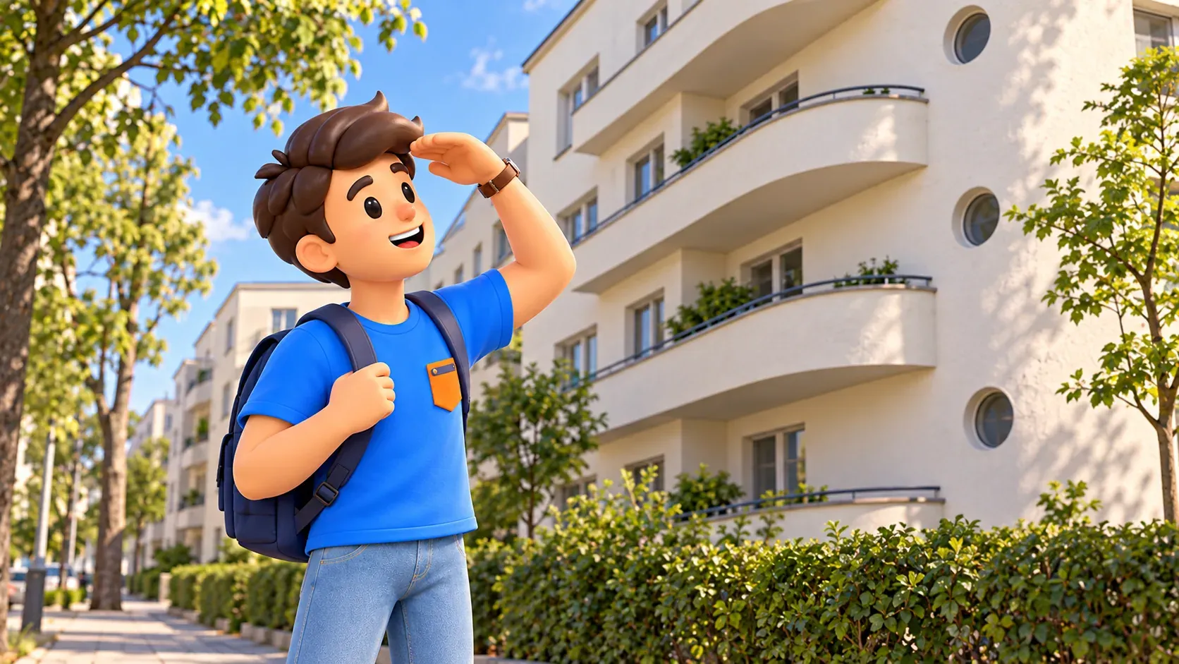
At the southern approach, begin with Scharoun’s buildings. Rounded elements, projecting horizontal lines and individual circular windows suggest nautical architecture; one building gained the nickname Panzerkreuzer. You do not need to imagine an actual ship in the street. Look at how a corner completes the building and directs the eye towards the next space. The architecture establishes a recognisable image while shaping the entrance to a residential ensemble. First take in the mass from a permitted viewpoint, then choose one detail. That sequence helps relate an appealing feature to the building it belongs to.
Ask yourself what caught your attention first: a circle, a horizontal band or the curve. Then see whether the same feature remains visible from a neighbouring section of pavement. The changing view explains why movement matters when looking at architecture. There is no single photograph that must reproduce the entire experience. You can appreciate the character of the housing without supplying a symbolic meaning for every detail. Keep the observation at the scale of the overall design: windows and balconies remain parts of people’s homes, rather than objects requiring close inspection of residents’ belongings.
Gropius: finding interest in clear geometry
Continue along Jungfernheideweg towards Goebelstraße and change the question. At Gropius’s buildings, focus on straight lines, repeated openings and relationships between volumes rather than seeking another nautical reference. A more restrained appearance still has plenty to communicate. It offers an approach to housing through clarity and a readable structure. Compare it with Scharoun without choosing a winner. The short distance between different designs makes a useful point: modernism was not a single recipe for identical white boxes, even when designers agreed on fundamental planning principles and were responding to a shared housing need.
Stand where you can see both a façade and some adjacent space. A narrow residential block, the gap between rows and the trees help explain open development. The subject is the relationship between those elements, not an isolated building alone. Imagine removing the greenery from the view, then let it back into your attention. This simple exercise makes the planning idea clearer than counting windows. An interpretation panel can introduce the architect if you want more background, but our focus stays on the estate rather than attempting a complete biography of each participant.
Bartning: what a long building contributes
On Goebelstraße, look for Otto Bartning’s extended building, known as the Langer Jammer. Its long, gently bending line differs from the separate parallel rows opposite. Consider how it accompanies the street and forms an edge to the ensemble. Noise screening was also part of its historical planning role. That does not promise silence today; it explains one reason for the arrangement. The contrast between a continuous frontage and an opening already provides a worthwhile observation. You do not need to walk every metre of the building to grasp its contribution to the neighbourhood’s structure.
Follow one stretch of repetition with your eyes until a bend or a tree interrupts it, then look across the street. Another rhythm changes the way the long block feels. Spend a few minutes comparing rather than treating the frontage as a distance challenge. Street architecture does not require each doorway to become a separate exhibit. If you are travelling together, exchange one observation: someone may notice the roofline, another person the entrances and another the space left for greenery. Different interests can add detail to the experience without multiplying stops or stretching the walk beyond its intended shape.
Häring: balconies change the expression
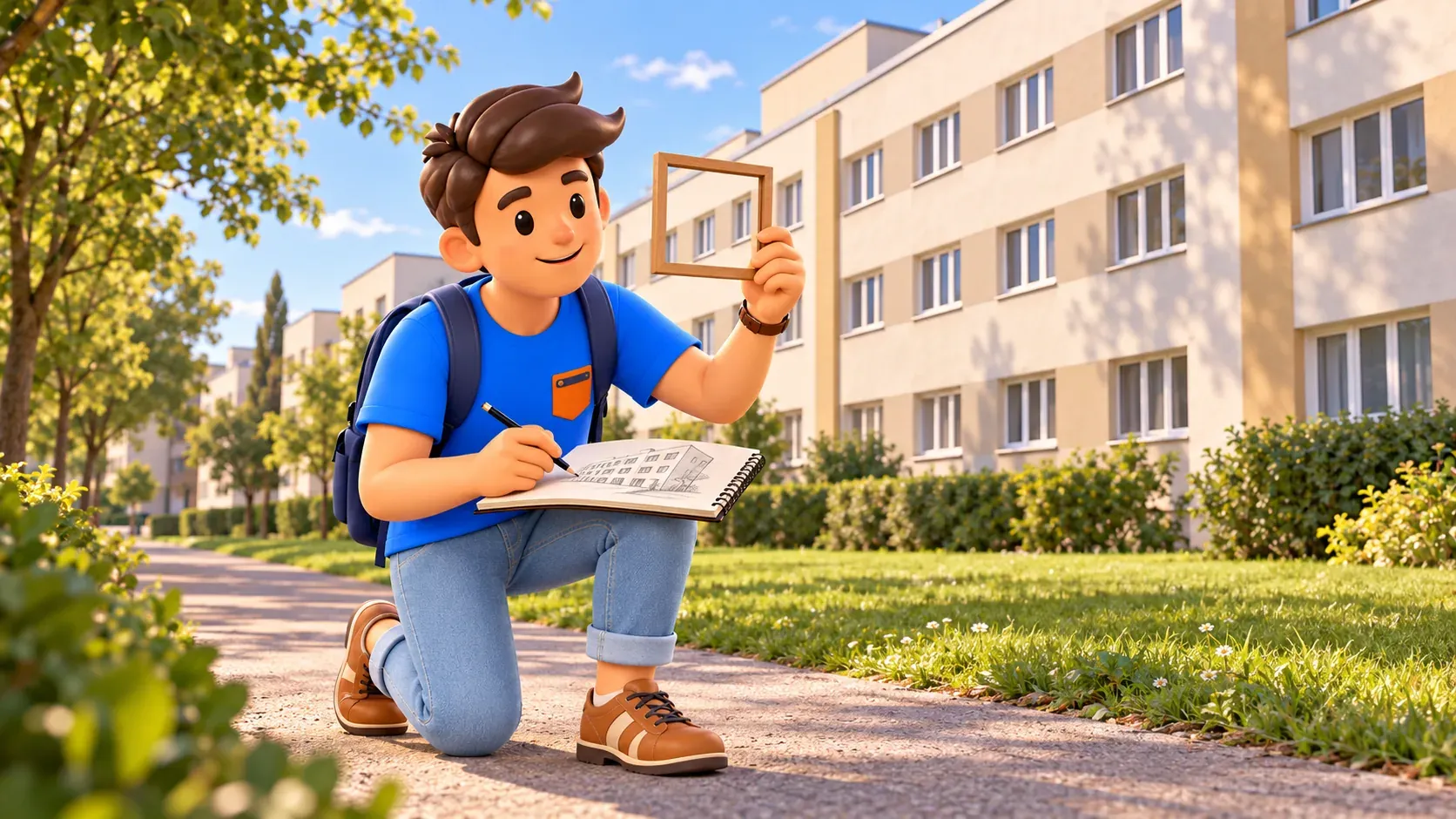
At Hugo Häring’s rows on the northern side of Goebelstraße, notice the more sculptural projecting balconies and the differentiation between parts of the building. They are especially clear after Gropius’s restrained geometry. Compare ways of connecting rooms to outdoor space, rather than simply labelling one design plain and the other complicated. A balcony changes silhouette, shadow and the direction of a view. You can see that from the public street without studying private possessions. A few minutes with the overall outline are enough to recognise an individual architectural voice within the shared plan.
Siemensstadt’s interest lies in this combination of agreed principles and different solutions. Narrow housing rows with green space between them offered an alternative to dense blocks with dark courtyards. Existing trees helped establish a landscape character, while the gaps between buildings became meaningful parts of the design. You do not have to trace every row or find work by all six architects in one visit. Four selected comparisons already reveal the central idea: a common task does not demand an identical answer. Other sections can wait for a return visit with a more specialised interest.
A break and an optional information pavilion
The Infostation is at Goebelstraße 2, by Geißlerpfad, in a small building associated with Fred Forbat’s contribution. It offers estate interpretation and a model, but you should not assume ordinary daily walk-in access. The municipality notes reduced public provision, while the heritage network advises arranging opening and tour conditions with the operator. Treat it as an optional addition. If closed, the outdoor walk remains worthwhile, using exterior information and the architecture panels along the way. Take your 25-minute break at an open food or drink venue or an appropriate public place, without depending on the pavilion.
Public streets do not require you to purchase a guided tour. An organised visit has its own conditions, date and language, so choose the programme first if a guide is important. Likewise, establish station access and suitable paths beforehand if you need a step-free route. Outdoor walking does not guarantee the absence of kerbs or obstacles. Bring comfortable city shoes and clothing for time spent standing outside. In heavy rain, two considered comparisons may be more enjoyable than pursuing the whole plan while expecting a large indoor museum to provide shelter.
With RoadMe, preparing the whole journey becomes easier and more efficient because the plan can reflect your interests and preferred pace. Try building your Berlin days in the app so Siemensstadt has enough time and fits comfortably alongside the other experiences you want.
Return to Siemensdamm by open public street connections, preserving the final 40-minute allowance. A longer industrial route, the whole of Jungfernheide park and other modernist estates are separate outing choices. Our first-time Berlin guide by interests can help with the remaining days. Finish this walk with one question: which approach to housing appealed to you most, and why? That answer turns several façades into a personal impression of Berlin, rather than another collection of names encountered on the way to somewhere else.


