
Santa Monica in Two Hours: Tongva Park to the Pier
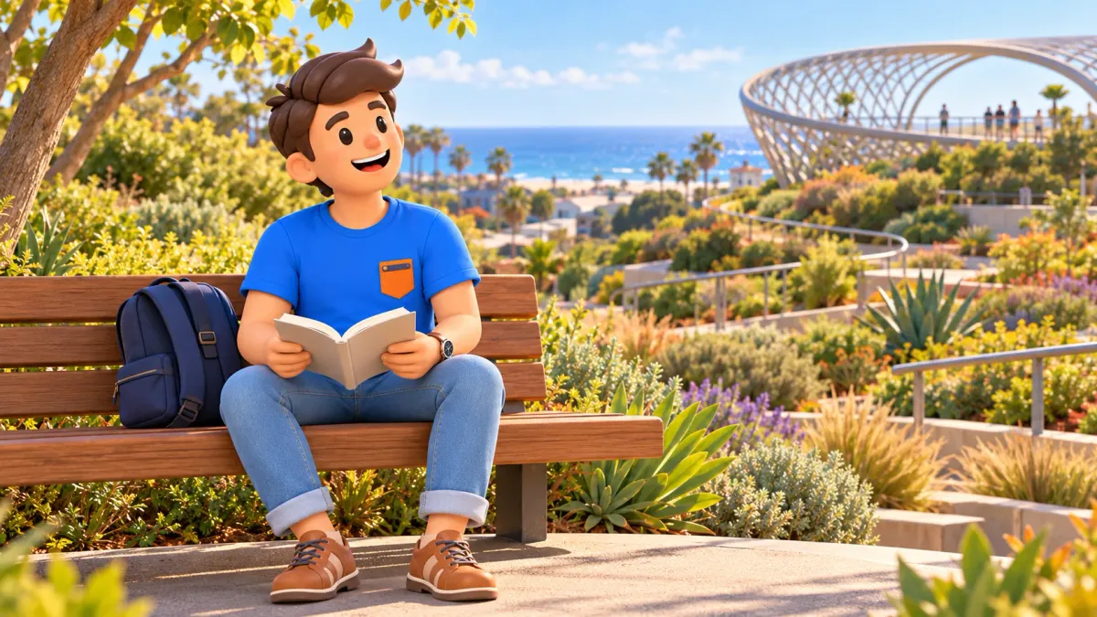
You can enjoy two hours in Santa Monica without queuing for the Ferris wheel or committing to a full beach day. Begin in Tongva Park, look towards the ocean from the Ocean Avenue side, pause outside Camera Obscura and finish on the pier by the Route 66 sign. The outing connects three different coastal experiences: a contemporary urban park, a small cultural landmark and an open ocean horizon.
Plan it as a daylight walk with pauses. Swimming, a full meal, the aquarium and amusement rides are outside this two-hour framework. Camera Obscura is currently an exterior stop because its mechanism is closed to ordinary visitors. At the pier, bridge replacement work means following the current temporary pedestrian approach. Knowing those conditions makes a short outing easier to enjoy.
Make room for the walk, not just the connections
Allow roughly 20–30 minutes in Tongva Park, 10–15 minutes for the exterior Camera Obscura stop and 30–40 minutes on the pier. Keep the remaining time for connections, a short rest and the current construction detour. These are editorial planning estimates, not a timetable to follow exactly. If you take longer over photographs or walk slowly, shorten a stop rather than rushing to catch up.
Start at Tongva Park, 1615 Ocean Avenue. Continue along the urban Ocean Avenue side to Camera Obscura, 1450 Ocean Avenue, then return south towards the permitted temporary pier approach. The finish is a stroll on the deck and the End of the Trail sign. Returning to your car, accommodation or onward stop is additional to the two hours described here.
To give this coastal pause a convenient place in your trip, try RoadMe: it develops a personal plan around your interests, dates, pace and budget. Your whole day can then fit together without having to assemble every journey and activity from separate bookmarks.
- Start: Tongva Park, 1615 Ocean Avenue.
- A short cultural stop: Camera Obscura, 1450 Ocean Avenue, viewed from outside.
- Finish: Santa Monica Pier and the symbolic Route 66 ending sign.
- Main access check: the current pedestrian arrangement around bridge construction.
- Paid attractions and extended beach time are separate additions.
A checked map puts the connections between the central points at approximately 0.5 miles, around 0.8 km. That indicates their proximity, not the total length of your outing: park paths, pier wandering, stops and the actual construction detour come on top. The map's Colorado Avenue approach does not verify the temporary entrance. Official directions on the ground take precedence.
Start with a modest loop in Tongva Park
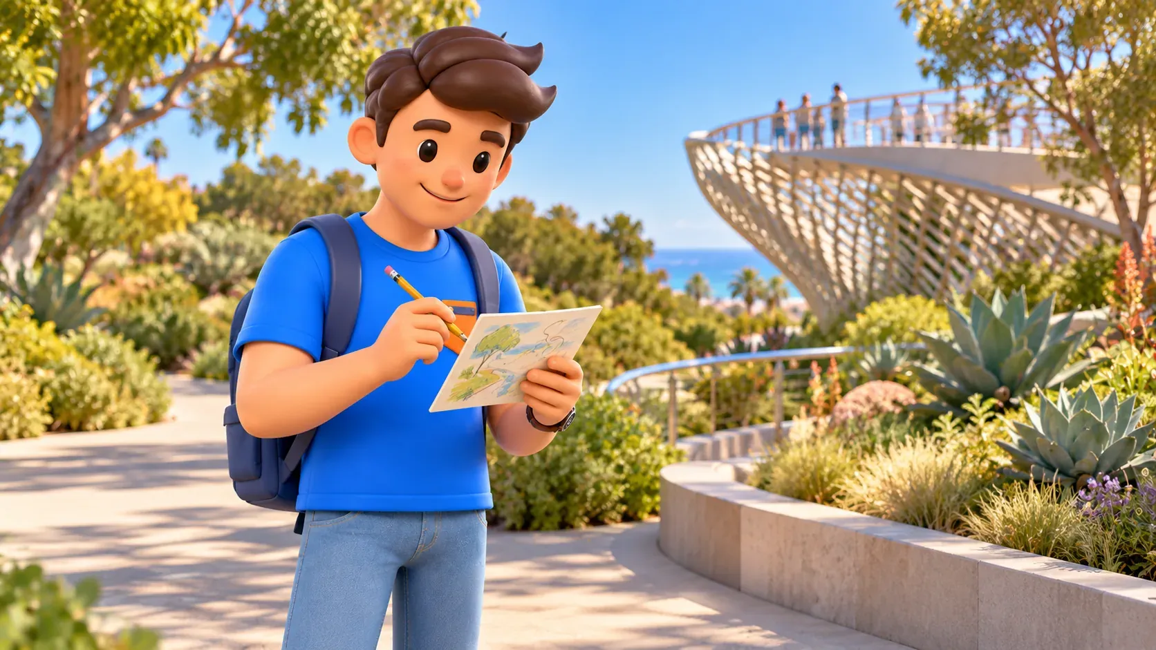
The park offers a gentle beginning: greenery first, then the street and ocean. Walking paths, small hills, contemporary structures and artworks give you several ways to look around. Do not try to cover every corner during a brief visit. Choose one small passage, a place to pause and a view you want to study, so the park becomes an experience rather than a corridor to the better-known pier.
Tongva Park opened in 2013, transforming a former asphalt parking area. James Corner Field Operations used topography and braided paths inspired by the landscape of seasonal watercourses. That context helps you notice how the greenery does more than fill gaps between pavements. Look at the way planting, shade and small changes in height create different places to spend time.
Checked on 17 October 2026, municipal park hours are 6 a.m. to 11 p.m. daily. Choose daylight for this programme anyway. General park access does not promise that every water or play feature operates in every season, so check before promising a particular activity to a child. If you want to stay longer near a play area, reduce the next section or extend your overall allowance.
Take a small pause before continuing onto Ocean Avenue. Think about water and toilets early: the municipal page lists park amenities, but you should check the condition of a specific facility on site. Keep to permitted paths, avoid stepping into planting for a photograph and leave room for other visitors. A good picture does not require turning a public garden into a private studio.
Ocean Avenue and Camera Obscura from outside
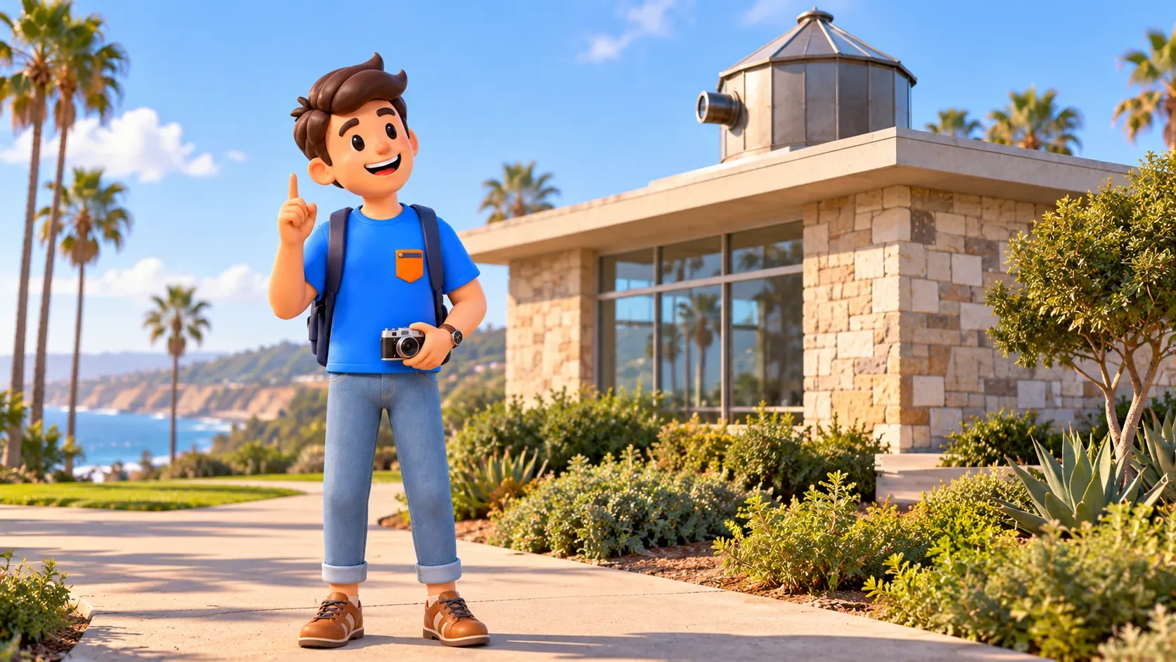
Next, head towards 1450 Ocean Avenue, where Camera Obscura stands in Palisades Park. You do not need to descend to the sand to enjoy a coastal atmosphere here. Use permitted pedestrian areas and crossings. An urban street remains an urban street beside the sea: find a safe place to stop before deciding on a photograph.
Camera Obscura recalls another way of looking at a seaside resort. Its optical apparatus uses a lens and mirror to project the outside view into a darkened room. The idea is interesting even without a demonstration: long before photographing everything on a phone, visitors enjoyed seeing their surroundings through an unusual device. For this walk, it creates a brief change of subject between park and pier.
However, checked on 17 October 2026, the city explicitly says the mechanism is closed to the public except during special events. Do not build the outing around entry or apply old guidebook hours to a visit today. Pause outside, observe the building from permitted park space and continue. A separately confirmed event could change your programme, but no such event is part of this two-hour suggestion.
If optics especially interests you or your children, keep it in mind for a future event without promising an unconfirmed date. Waiting beside a closed door in the hope of admission adds little to the outing. The exterior stop still has a purpose: it gives the coast a cultural layer without consuming the time intended for the ocean.
Use the temporary pedestrian approach to the pier
After Camera Obscura, return south towards the pier approach area. At the time of checking, the city is replacing the old Pier Bridge linking Ocean Avenue to the pier. A temporary pedestrian bridge south of the previous pedestrian entrance is open for visitors. Do not look for shortcuts through barriers or rely only on older photographs of the familiar approach; the current arrangement matters more.
The city's announcement opening the temporary connection was published on 5 June 2026, and the bridge is intended for the construction period. The pier remains accessible, but access arrangements and specific restrictions need checking before your visit. A buffer for the detour is more useful than a promise to cover it in a precise number of minutes. Follow current signs if they direct you differently.
Bicycles and skateboards are not permitted on the temporary pedestrian bridge; the city directs them to a different approach via Seaside Terrace. This article is for a walking outing. Do not bring a bicycle merely to shorten the connections while assuming you can use the same entrance. That format needs its own check of the permitted route.
If you require a route without steps, confirm the particular available connection for your date. Nearby points and a map's height profile do not verify a temporary structure, surface or actual passage. If conditions are unsuitable, you can finish with an ocean view from the city side instead of making the pier compulsory at any cost.
Enjoy the pier without buying a programme
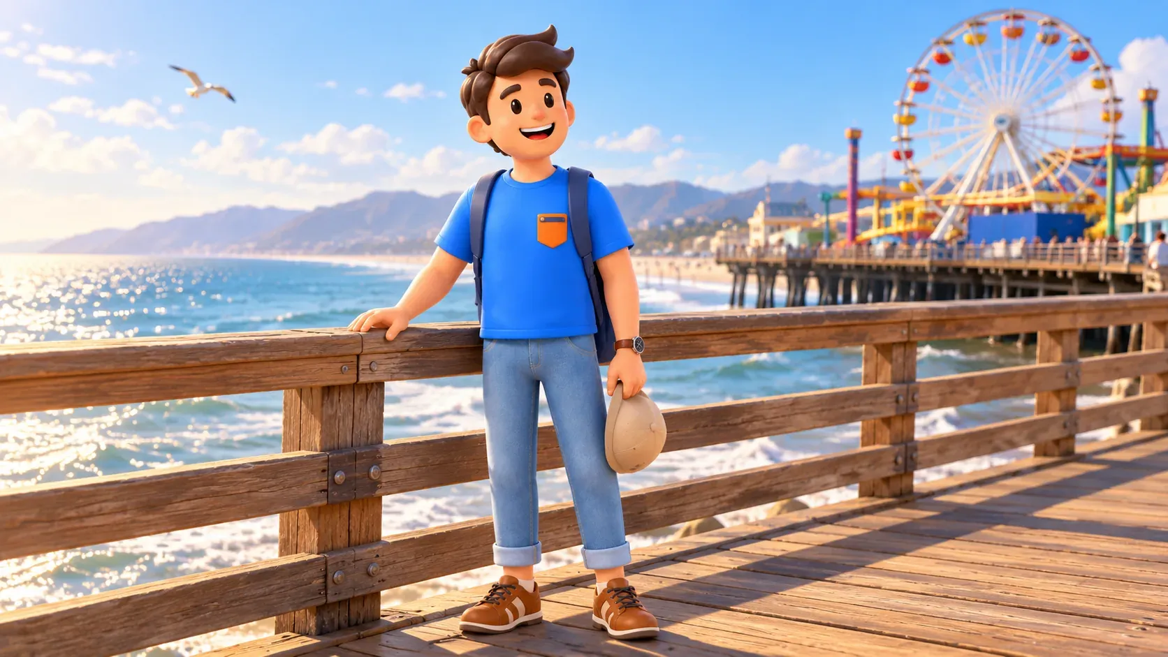
Once on the deck, slow down and give the horizon, water and setting a few minutes. The pier has existed since 1909, but a detailed chronology is less important for this short walk than the change from city street to ocean space. A little history adds depth without requiring you to examine every pavilion.
The operator's checked hours are 6 a.m. to 10 p.m. daily for the pier itself. Shops, restaurants and amusements keep individual schedules. A late deck closing time does not guarantee every attraction will operate at the same hour. You do not need admission to a particular ride for this route to work.
Choose a convenient permitted place to pause without blocking the main flow of people. Take a wider ocean photograph or look back at the city behind you. If your group is tired, a short view and a rest are better than searching for the most distant point. Reaching the end of every branch is not necessary to enjoy the pier's character.
A symbolic finish at the Route 66 sign
The End of the Trail sign provides a recognisable final detail. It was installed in 2009 as a symbolic ending for Route 66. It is not an original road sign from the route's earliest history, nor proof that the whole pier was its precise legal historical terminus. Understanding it as a commemorative visitor symbol gives a photograph enough context.
If the space by the sign is busy, decide whether waiting matters to you. A short programme should not depend on a picture with nobody else in it. You can see the sign from the side, make a wider image and retain time for a relaxed departure. Travelling Route 66 is a separate, much larger subject; here the sign simply concludes a coastal walk.
If you want to continue according to your own interests, let RoadMe work out the full personal trip plan around your dates, pace, budget and preferences. It makes it easier to give the ocean its share of the day and choose what follows without collecting disconnected places across the city.
Keep the outing short and comfortable
Decide whether your priority is the park, photographs or time by the water. For more ocean time, shorten the exterior Camera Obscura pause; for urban landscape, stay longer in Tongva and spend less time on the pier. Access conditions remain the same whichever emphasis you choose. Rain, strong wind or tiredness can justify reducing exposed sections rather than following the programme literally.
Add a full meal, swimming or paid entertainment only by expanding the time window. Even a snack may take longer than expected when there is a queue. Bring water, sun protection and comfortable walking shoes. Agree a finishing point with companions so that the keen photographer does not keep everyone else waiting.
- Check the current pedestrian pier approach.
- Treat Camera Obscura as an exterior stop without a separately confirmed event.
- Keep time for a pause and the construction detour.
- Distinguish pier hours from individual business schedules.
- Plan the return: finishing on the pier does not remove the journey back.
If you are travelling specifically from another part of Los Angeles, assess the whole excursion rather than only the two hours here. A short Santa Monica walk can belong to a longer day because of the journeys. Avoid placing an activity in a distant neighbourhood immediately afterwards without allowing separately for travel.


