What Does the Route 66 End Sign on Santa Monica Pier Mean?
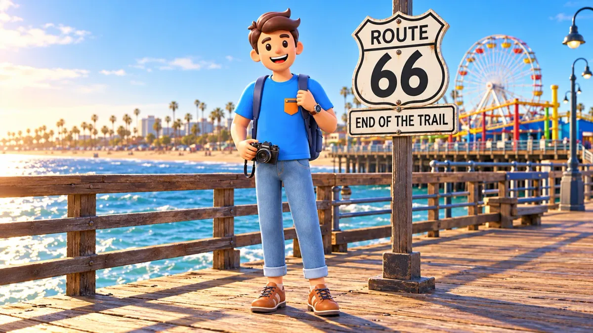
On Santa Monica Pier, it is easy to imagine Route 66 ending directly above the ocean. The End of the Trail sign, wooden deck and Pacific horizon make a convincing finale to a great road journey. It is a memorable photograph. Its meaning is more precise, however, than the last metre of the historic highway: this is a commemorative symbol of travel, rather than a surviving traffic sign from the road's early decades.
Know the main distinction before the walk. The pier sign was installed in 2009 to mark the popular symbolic end of Route 66. Santa Monica's historic road terminus is associated with Lincoln and Olympic boulevards. These are different places and different ways of telling one road's story. Understanding the distinction adds substance to a familiar image without taking away the pleasure of arriving beside the ocean.
What End of the Trail actually means
Read the wording as an invitation to mark the completion of a journey. It connects Santa Monica with westward travel, an ocean break and a long drive across the country. That is a cultural image, without claiming that the federal highway literally followed today's deck to this post. A person here for a short walk encounters the road's memory; visiting does not require pretending to have crossed the continent.
Let RoadMe develop a complete personal trip plan around your interests, dates, budget and pace. The app makes it much easier to connect city history, ocean walks, main visits, travel, meals and rest into one journey than to assemble every day from isolated stops.
Symbolic does not mean meaningless or somehow false. Cities often choose a recognisable setting to make a complicated history approachable. The ocean offers a sense of completion: the eye no longer follows an ordinary urban street ahead. That helps explain the image's appeal without assigning identical feelings to every past traveler. A photograph by the sign retains its own value when you understand precisely what it commemorates.
A short accurate caption is enough: at the symbolic end of Route 66 on Santa Monica Pier. It preserves the atmosphere while respecting road history. You do not need a lecture beneath every photograph. One qualification separates a personal impression from a claim about an exact historical location. A little knowledge helps you see more without turning a coastal break into an examination of every detail on old maps.
Why one famous road can have several ends
Route 66 officially began in 1926 within the United States' numbered highway system. Its number connected existing roads rather than identifying a single new straight road built across the country. Alignments changed. Asking where it ended therefore needs context: which period, and which kind of marker? The history is more complicated than one permanent line drawn once from beginning to end. Today's recognisable symbols do not erase that complexity.
For an introduction to Santa Monica, distinguish the historic road endpoint at Lincoln and Olympic from the pier's commemorative sign. This need not become a contest for the only correct photograph. The junction helps explain the highway's geography; the pier gives a recognisable image of reaching the ocean. Those purposes can coexist. Confusion begins when one kind of memory is presented as the other without an explanation.
Other commemorations include the Will Rogers marker near Palisades Park. They are not several accidentally surviving final traffic posts. They belong to different layers of city memory. A brief visit benefits more from recognising the distinction than from a compulsory hunt for every marker. If a particular period especially interests you, give it separate research time. There is no need to make every coastal walk an exhaustive endpoint survey.
Do not apply the old federal-highway system directly to a present trip. Route 66 was officially decommissioned in 1985. Historic sections, commemorative signs and present streets survive, but that is no promise of one continuous active road carrying the old number. A cross-country drive needs its own planning. A pier walk can begin that curiosity while remaining a small local experience, without pretending to provide a complete driving itinerary.
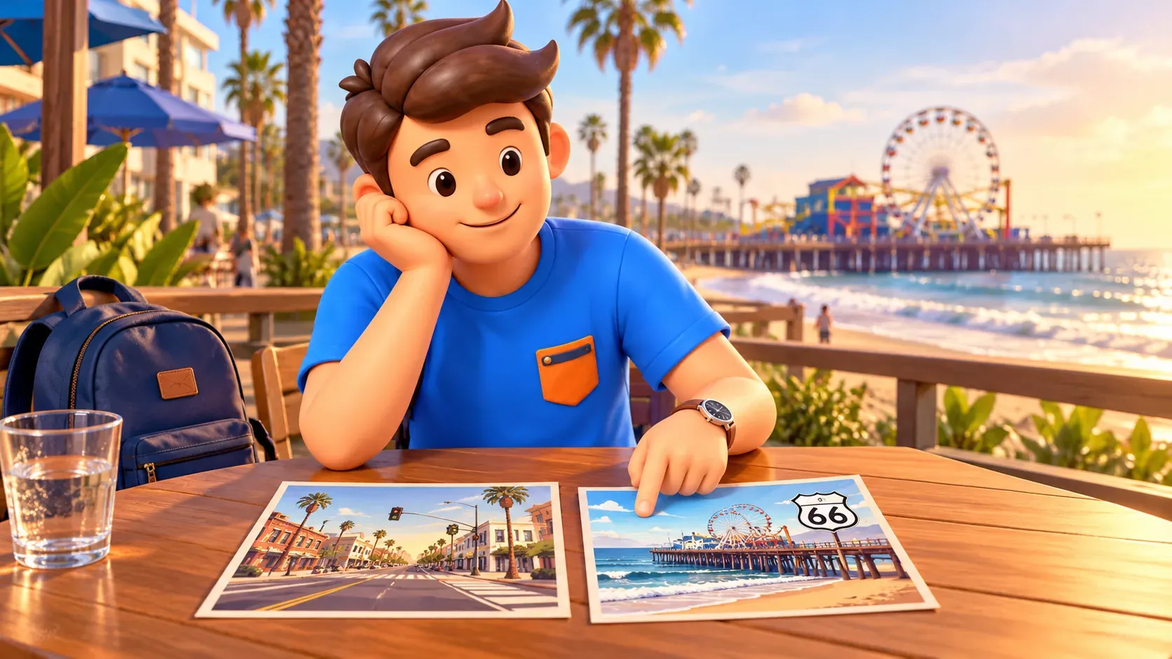
The road meant more than a holiday
A popular Route 66 image may contain only a convertible, neon and open-road freedom. The broader history includes migration, work, wartime transport and later automobile tourism. People in difficult times did not always travel for a beautiful final photograph; some sought another life. That brief correction gives the sign depth. The same westward direction could represent necessity for one person and a leisure journey for another.
After the Second World War, road holidays became an important part of the route's identity. Cafes, motels and fuel stations serving travelers entered its familiar culture. There is no need to turn that fact into a business directory or promise the whole history in one place on the pier. Remember that the number's popularity grew through communities along the way. The ocean sign recalls a long chain of places without containing it all.
New interstates gradually changed traffic and the old route's role. After decommissioning, residents, associations, businesses and preservation specialists helped maintain its memory. Today's recognition did not simply happen by itself. A visitor encounters the work of people who kept a former highway meaningful as cultural heritage. That historical turn is useful even during a short stop without a car. The road's continuing story involves care as well as nostalgia.
The pier is older than its famous sign
Santa Monica Pier began its history in 1909. That is a separate date and story: do not confuse the waterfront structure's age with a Route 66 sign installed a century later. The place already had its own life before becoming a setting for a popular commemorative image. It was not built entirely as scenery for the highway's finale. Knowing this gives the pier an identity beyond one photograph.
During the walk, turn your attention away from the wording for a moment. Look at the deck, people moving, shoreline and water. The sign begins a story; the surroundings provide an experience of their own. You do not need a paid attraction or souvenir purchase for the stop to have value. A walk and view may be enough, with other activities remaining separate decisions. Road history need not displace ordinary coastal pleasure.
In a group, everyone may have a different reason to linger. One person likes automobile history, another wants the view, while a child enjoys the lively seaside setting. Identical depth of interest is unnecessary. A short explanation of symbolic and historical endpoints can give everyone context for the photograph. Then the day can continue at a comfortable pace, without a compulsory road-history lesson or the need to collect every possible image of the sign.
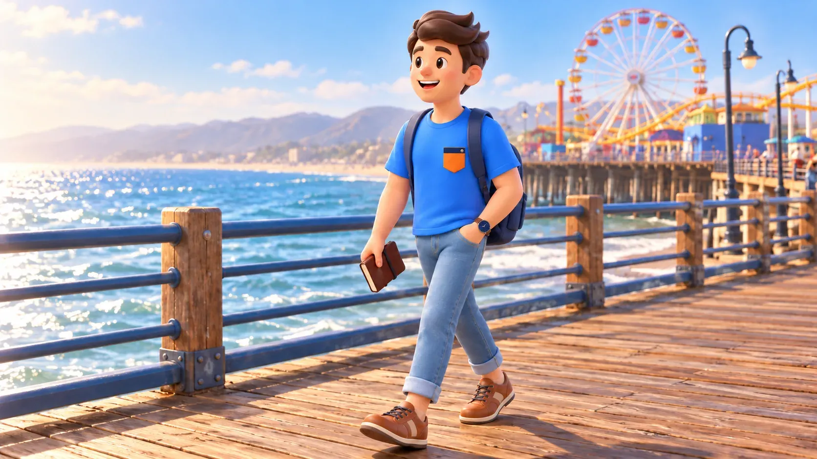
Make the sign part of a relaxed walk
Choose a simple purpose beforehand: see the ocean and meet a Route 66 symbol. The photograph then becomes part of the outing rather than its only task. Let other visitors take pictures and keep the passage clear. A good memory does not require climbing railings, leaving belongings across the deck or finding an angle beyond permitted areas. Visible ocean and an understood story already provide enough material for a memorable encounter.
Try two different pictures: one including the sign and another showing the surroundings. Later they can recall the walk as well as the wording. This is a creative suggestion, not a mandatory shooting plan or promise of an empty background. If the spot is busy, do not let waiting for perfect solitude become the day's main activity. Other visitors belong to a public place's atmosphere; a short pause may be more pleasant than a long search for emptiness.
The Lincoln and Olympic junction need not automatically join every pier outing. For a strong interest in road history, consider it separately with a suitable way to arrive and ordinary attention to traffic. A busy intersection does not become a photo platform through a historical association. Do not enter the road for a precisely positioned image. Interest in the past does not remove current crossing rules or make an active street behave like a monument forecourt.
Present conditions around the pier
Bridge-related works affect approaches to the pier. The pier continues welcoming visitors, but arrival may differ from older photographs and descriptions. Follow current signs and municipal updates rather than insisting on the former entrance. Temporary pedestrian access is not a promise of the same route for bicycles or cars. The Route 66 sign does not authorise driving a vehicle onto the deck for a themed photograph.
A pier walk and individual attractions are separate choices. Ordinary access does not mean rides are included free or all businesses share identical hours. Decide whether these activities suit your group and keep the option simply to watch the water. This story requires neither a particular souvenir nor a special ticket or compulsory restaurant. Understanding gives the stop substance, rather than the quantity of purchases made nearby.
Plan the end of the walk in relation to the rest of the day. After a long journey, ocean air and food may be sufficient; before an evening event, allow room for returning. Do not assign an exact duration from a photograph alone: interest, crowds and fatigue affect time. There is no need to prove you have seen everything. A well-chosen short stop can leave happier memories than an exhausting effort to complete every waterfront activity.
Ask your companions what they want to remember before adding anything else. The answer may be the sign, a view across the water or an unhurried conversation. A shared priority helps decide when to finish, particularly if the wider trip already contains museums and major visits. A small historical story can provide contrast without taking over the whole day. Leaving with a clear impression is a reasonable outcome in itself.
In RoadMe, getting a fully developed personal itinerary or whole-trip plan around your interests and pace is much more convenient. Let the app connect history, the ocean, main visits, travel, meals and pauses into one journey, leaving more of your time on site for experiences.
See End of the Trail as a beautiful conclusion to a road story. It need not be the literal historical terminus to be memorable. Remember three things: the route changed, the pier sign appeared in 2009, and Lincoln and Olympic belong to another historical layer. Then a simple ocean-side photograph becomes more accurate and interesting while preserving the lightness of an ordinary walk.