
Old Amsterdam in two hours: towers, a gate and canals
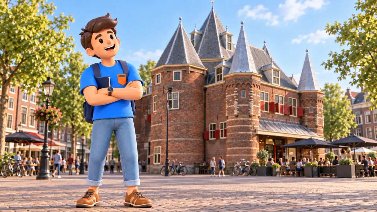
You do not need a major museum or a long list of addresses to discover old Amsterdam. A short walk between Schreierstoren, the Oude Kerk, the Waag and Montelbaanstoren shows how the city defended itself, traded and changed its boundaries. Water connects that history to the streets: the towers make more sense when you look at what surrounds them.
Allow about two hours without going inside the buildings. The route suits a free morning, a gap between other plans or a first look at the eastern part of the old centre. Exterior stops avoid dependence on museum admission, while cafés, shopping and tower climbs would require extra time and their own access checks.
A two-hour old town walk with four connected stops
Start at Schreierstoren beside Geldersekade, near Amsterdam Centraal. Continue to the Oude Kerk, then the Waag on Nieuwmarkt, and finish at Montelbaanstoren on Oudeschans. This is a sequence for public streets, not a promise of access through buildings or admission to viewing platforms.
RoadMe makes it easier to turn two free hours into a personal route, with a plan shaped around your interests and pace, from history and architecture to relaxed waterside walks. Give the app your available time and preferences so the walk becomes part of a properly planned trip.
The table counts from your arrival at the first tower. Walking and stopping times are editorial estimates, not measurements. Add roughly five to ten minutes to reach the start from Centraal, using appropriate crossings. Do not assume that finding the first stop is included in its fifteen-minute viewing allowance.
| From the start | Plan |
|---|---|
| 0:00–0:15 | Look at Schreierstoren |
| 0:15–0:35 | Walk through the old centre to Oude Kerk |
| 0:35–0:55 | Explore the church exterior |
| 0:55–1:05 | Walk to Nieuwmarkt |
| 1:05–1:30 | Look at the Waag and square |
| 1:30–2:00 | Walk to Oudeschans and finish at Montelbaanstoren |
Daylight is useful for noticing architectural detail. Late evening changes both the neighbourhood's atmosphere and what you can see. For a broader introduction, our first-day Amsterdam itinerary connects the centre with other parts of the city. This walk deliberately keeps its attention on a smaller area.
Schreierstoren: picture a former city boundary
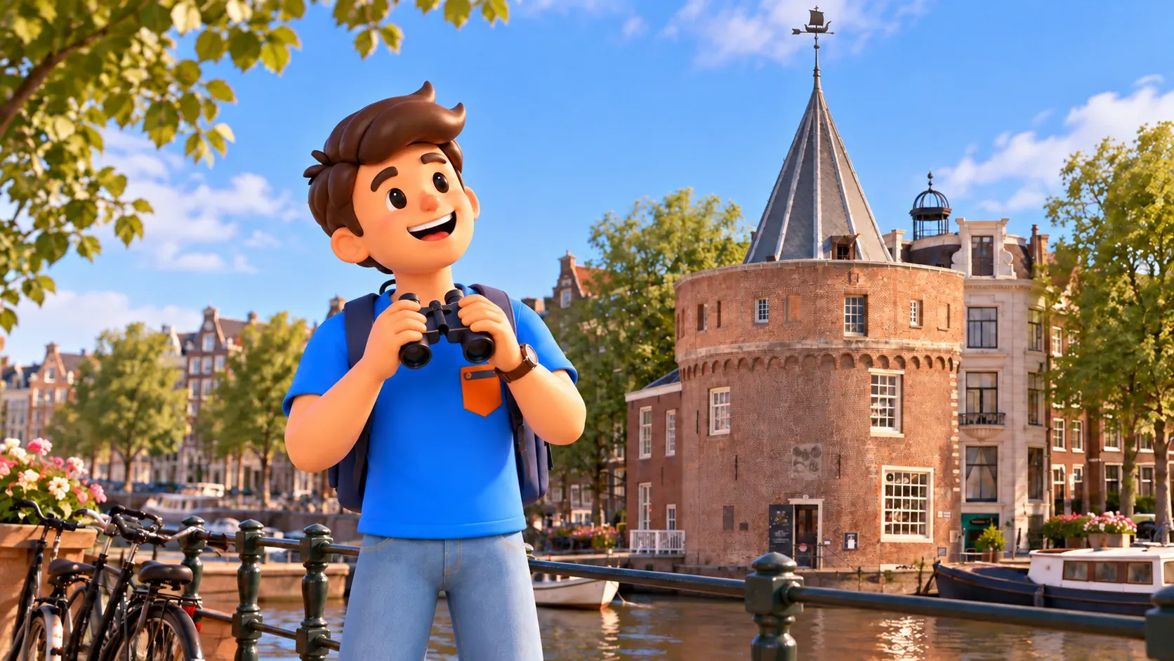
Schreierstoren has stood here since 1487. Amsterdam gained a stone city wall with towers and gates in the late fifteenth century, and this surviving structure helps you imagine its scale without a reconstruction of an entire fortress. The round form, lower walls and nearby water provide enough for a useful first stop.
Begin with the overall view from a safe position on the public pavement. Notice how the rounded volume meets the buildings beside it. Everyday city life now surrounds the tower, making it easy to read as an unusual house. Its history becomes clearer when you imagine it as part of a boundary rather than a freestanding decoration.
The weather vane takes the form of a cog, a medieval trading ship associated with Amsterdam's old city seal. It is a small detail linking defence and commerce. You need not decipher everything immediately: find a position where the top is visible, without stepping into the road or obstructing other people for a photograph.
Do not organise this stop around an assumed climb. Here the tower is an exterior landmark, not a promised panorama. Fifteen minutes is an allowance for the broad impression and a few details. If architectural photography takes longer, extend the walk rather than trying to recover every extra minute by rushing between the next stops.
Oude Kerk: the city around the Old Church
Continue through the Zeedijk area and old-centre streets towards Oudekerksplein. Allow roughly twenty minutes, including orientation and ordinary pauses. Stay on public streets and use appropriate crossings. Along the way, notice how narrow connections link more open spaces by the water, rather than looking only at the individual façades.
The Old Church developed from a small wooden chapel. In 1306 it was consecrated to Saint Nicholas, patron saint of sailors. That connection follows naturally after a tower near the former city edge: worship, commerce and everyday life were closely connected in early Amsterdam. The present building nevertheless grew and changed over several centuries.
For an exterior visit, concentrate on its scale against the surrounding streets. Walk around the accessible part of the square and compare the roof, walls and closely packed neighbouring buildings. You do not need a single viewpoint that fits the entire church into one photograph. The old centre often reveals itself through a sequence of partial views.
Today the Oude Kerk also presents contemporary art. Going inside could become a separate continuation of the theme, but it is not part of these two hours. Check opening, tickets and the current programme, then shorten other stops or extend the walk. An open doorway does not mean unrestricted access to every room.
This is still a working neighbourhood. Avoid blocking passages as a group or looking into private windows, and leave room for everyday activity. A calm exterior visit lets you concentrate on the church's history without treating the lives around it as a performance arranged for visitors.
The Waag: a city gate with a second career
From the church, head towards Nieuwmarkt, allowing about ten minutes. The Waag's cluster of towers stands out from its surroundings. It can look like a small castle, but its actual first role is more revealing: in 1488, it was built as Sint Antoniespoort, Saint Anthony's Gate.
As Amsterdam expanded, the former defensive role lost its purpose. In 1617–1618 the gate was remodelled as a weighing house; the surrounding moat was filled and the space became the New Market square. One stop therefore illustrates a larger urban change: an old boundary ends up inside the city and gains a commercial role.
Walk around the exterior as far as public space and current conditions allow. Compare the entrances with the directions of the nearby streets. Their differing alignments help explain that today's square did not appear at the same time as the gate. Unusual geometry in an old building was not necessarily designed for the view from a modern street.
Several guilds later used the Waag, including surgeons and masons. Symbols over individual entrances recall those occupations. For a short walk, finding one detail and connecting it with the building's changing use is enough. A complete list of occupants and alterations would take attention away from what you can actually observe.
Allow around twenty-five minutes for the building and square. This is a useful place to decide whether you want coffee. If so, add the break separately: finding a seat, ordering and resting rarely fit into a handful of spare minutes. No particular café or available table is guaranteed by the itinerary.

If you want more history or a walk that fits into a longer day, RoadMe can prepare a personal plan around your interests and usual pace. Following a complete route the app has worked out for your trip is much more convenient than assembling disconnected notes.
Montelbaanstoren: read different periods in one tower
From Nieuwmarkt, continue through the Lastage area towards Oudeschans. Allow about fifteen minutes to reach Montelbaanstoren by an available pedestrian route. The view opens towards water again. There is no need to collect every neighbouring street along the way: this section connects the square with the final stop.
Montelbaanstoren belongs to defensive works of the early sixteenth century. That is why this is a walk through old Amsterdam rather than a journey into one unchanged medieval year. Defences developed as the city expanded, with newer structures appearing alongside late-medieval remains.
In 1606 the tower received an additional brick stage and a wooden spire. Compare the heavier lower part with the more expressive top. The difference offers an accessible way of seeing a later layer without specialist knowledge. This is not a building preserved entirely in its original appearance, but the result of several phases of city life.
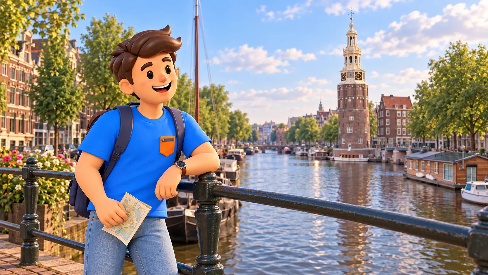
Finish by looking at the tower and canal. Use about fifteen minutes for quiet observation, a few photographs or a comparison with Schreierstoren at the beginning. If you are tired, another compulsory viewpoint is unnecessary. The relationship between the two towers already gives the walk a complete theme.
Make the walk fit your interests
For a history-led walk, ask how each place's purpose changed. At the first tower, think about boundaries and defence; at the church, the city community; at the Waag, trade; at Montelbaanstoren, the remodelling of an older structure. Those questions help you remember the route without dozens of dates or full descriptions of every building.
For an architectural focus, compare round and rectangular forms, brick and pale details, solid bases and lighter upper stages. You do not need a technical vocabulary to enjoy the exercise. A few differences you notice yourself can be more memorable than definitions learnt before the walk but never used on the street.
In rain, shorten stationary canal-side stops and take an indoor break after checking access. Strong wind is another reason not to stretch the waterside finish. If the weather makes details difficult to see, move part of the walk to another day: its short format is meant to fit around a trip rather than dictate every other plan.
The finish is at Montelbaanstoren, not Centraal. Calculate the return or onward journey separately. If luggage is involved, leave time to collect it. Two hours of exterior sightseeing do not include the whole chain between a train, accommodation and your next appointment.
This route has not been assessed as step-free: check surfaces, bridges and crossings against your needs. Choose safe places to stop near the water and stay aware of cycle traffic. The aim is to recognise several historical layers in a present-day city, ending with your own observations rather than a feeling that a checklist remains unfinished.


