
Why Japan’s Roads Begin at Nihonbashi
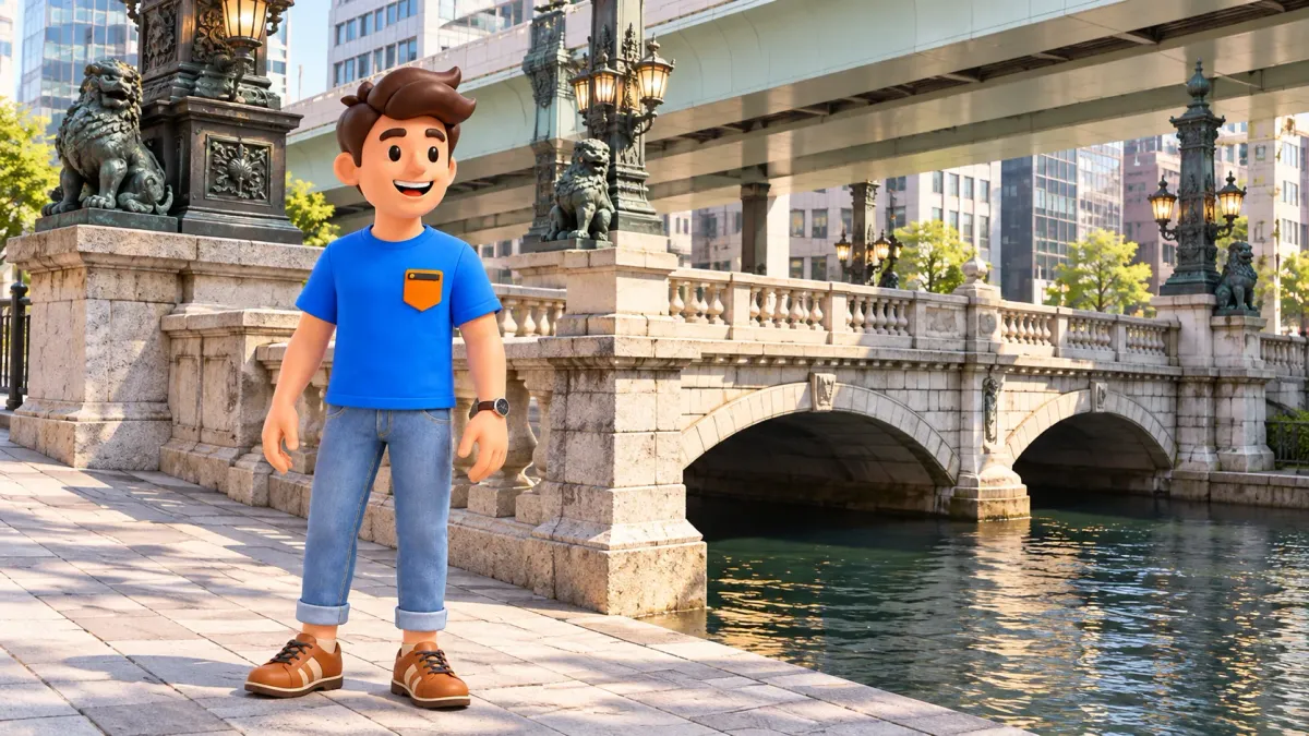
Nihonbashi matters as more than a bridge with handsome lamps. In the early seventeenth century it became the starting point of the main roads connecting Edo with other parts of Japan. A road origin marker preserves that role in the modern city. The useful idea is an agreed reference for a network, rather than the geographical centre of the country or a compulsory beginning for every individual journey.
You can understand the story within a small area: the bridge, an accessible replica of the road marker at its northwest end, and a memorial to the former fish market on the northeast side. Each answers a different question. Where did a journey begin? How was distance represented? What made this crossing useful to a growing city? These questions give a short visit substance without turning it into a complete shopping and museum itinerary.
Why a bridge became the beginning
The first Nihonbashi was built in 1603, and in the following year it was designated the beginning of the five major highways. This was the period when Edo was developing as the seat of the Tokugawa shogunate. A chosen starting point acquired meaning through the organisation of government and movement: the capital could describe its connections with distant places through a common point of departure.
This did not mean that Japan had no roads before Nihonbashi. Nor did every traveller have to step onto the bridge before going anywhere. A road system had a shared reference. Seen in that way, a modest river crossing becomes evidence of public organisation. The important question shifts from how impressive the bridge looks to what other places and journeys it helped relate to one another.
With RoadMe, you can build a personal programme around your interests and pace, giving small historical signs enough room to make sense. Try connecting a few clear stories about the old city so that each short move introduces a useful observation.
Consider the crossing in two directions. People and land traffic move across it; water runs underneath. That intersection is more revealing than a photograph of a lamp on its own. Ask what happened where those movements met. The answer begins to connect the road marker with the commercial history of the neighbouring banks, rather than leaving several apparently unrelated monuments on a checklist.
The five highways were a working system
The Gokaido were the five principal highways of the Edo period: the Tokaido, Nakasendo, Koshu Kaido, Nikko Kaido and Oshu Kaido. Nihonbashi was their point of origin. You may encounter these names in station names, streets or accounts of journeys elsewhere in Japan. A historical highway, a present railway line and a modern motor road should not, however, be treated as precisely identical routes.
Post stations provided the people and horses needed for transport and supported the movement of travellers and goods. The system made a road more than a strip of ground between towns. It involved service, rules and a sequence of stopping places. An origin in Edo helped describe those sections as a connected network, giving the capital a recognisable relationship with places far beyond its immediate streets.
You need not memorise all five names before visiting. Choose one connected with your own travels. If Kyoto interests you, the distinction between the Tokaido and Nakasendo can become a useful next question. If you are going to Nikko, recognising the historical road name gives the journey another dimension. The marker becomes personal without asking you to pass a test on every branch of the network.
Avoid imagining five perfectly straight rays that coincide with today's major roads. Routes developed, shared sections and branched. For this visit, the central principle matters more than an elaborate diagram: distant journeys could be described from a recognisable beginning, and the city expressed part of its importance through the connections it maintained with other territories. That idea remains understandable even when the full historical map is unfamiliar.
A modern bridge carries an older role
The present Nihonbashi is a stone bridge with two arches, completed in 1911. It is not the wooden crossing built in 1603. Several centuries of change separate the first bridge from the structure in front of you. Distinguishing the age of a place from the age of its visible building makes history more precise: a function or a famous name can survive while its material form changes.
The stonework and decorative details belong to a different urban period from the beginnings of the five highways. They should not be used as a literal picture of early Edo. Read them instead as another chapter. A capital changed its technology, appearance and scale while retaining the significance of an established name. The same place can therefore reveal continuity and rebuilding at the same time.
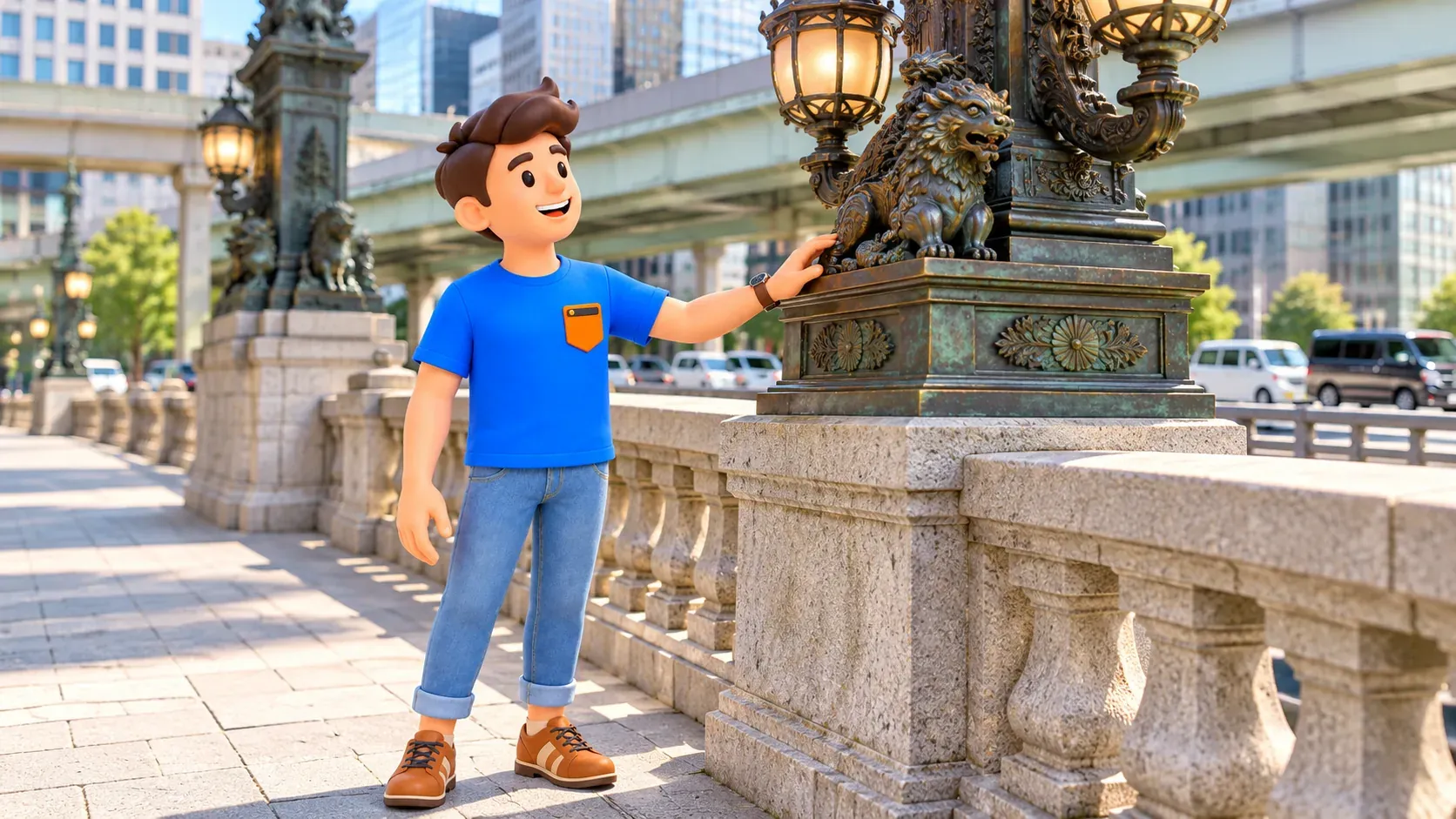
For a brief look, find a safe position on the pavement and compare one nearby detail with the overall line of the bridge. You do not need to cover every corner to acquire a complete set of photographs. This is ordinary working city space. Keep the walking route clear and use permitted crossings. The historical role does not depend on taking a photograph from the precise centre of the carriageway.
See the road marker from the accessible square
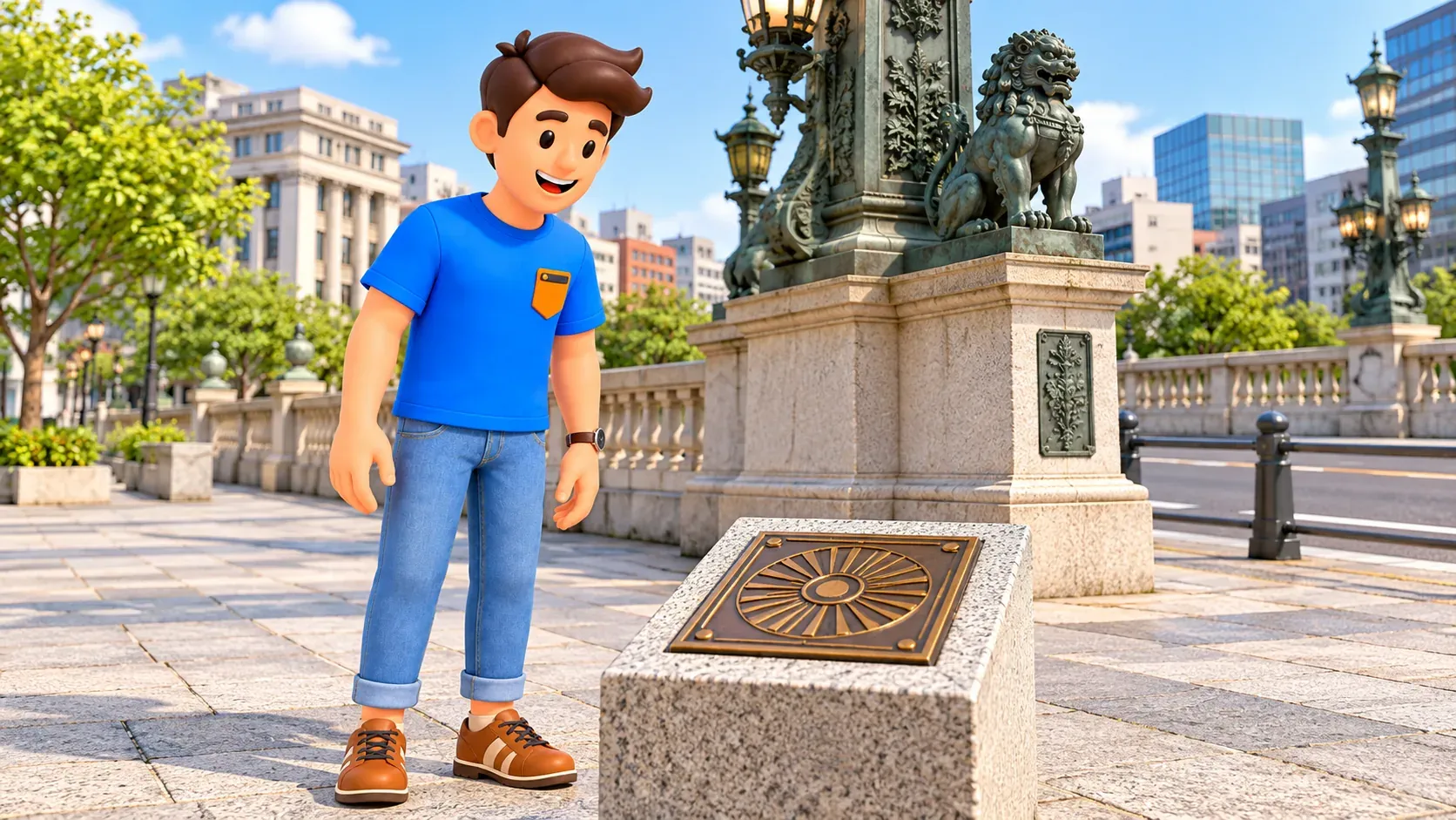
The actual Nihonkoku Doro Genpyo is set into the carriageway at the middle of the bridge. It is not an ordinary visitor viewing area. Do not step into traffic or stop in a vehicle lane to inspect it. At the northwest bridge end, the road marker square contains a replica intended to let you examine the symbol from accessible public space. Make that your normal viewing choice.
The square also contains the earlier road origin column, relocated from the bridge. Road authority material explains its association with lighting and the former tram overhead wires. It is an unusually clear example of an object changing roles: something serving practical transport infrastructure became a historical witness after that infrastructure changed. Distance measurement has a material history as well as an abstract meaning on a map.
Distinguish the present flat marker from the earlier column, and the accessible replica from the original embedded in the working road. A replica has a useful purpose here: it allows close observation without entering traffic. Understanding the place does not depend on standing above the original plate. Knowing why there are different objects is more informative than treating every visible sign as the same surviving item.
Calling Nihonbashi Japan's kilometre zero offers a convenient introduction, but the phrase needs limits. The bridge is associated with the historical origin of major highways and the starting point of several national roads. It does not mean every road in the country literally begins here, or that every current distance, navigation service and transport system uses one universal zero for all purposes.
That distinction also helps with photographs. An image of the replica can illustrate the reference point, provided you describe it accurately. There is no need to imply that you entered the carriageway to obtain a more authentic experience. The accessible square lets you connect the object, the bridge and the surrounding city while remaining within the ordinary rules of a public pavement.
The river explains the fish market next door
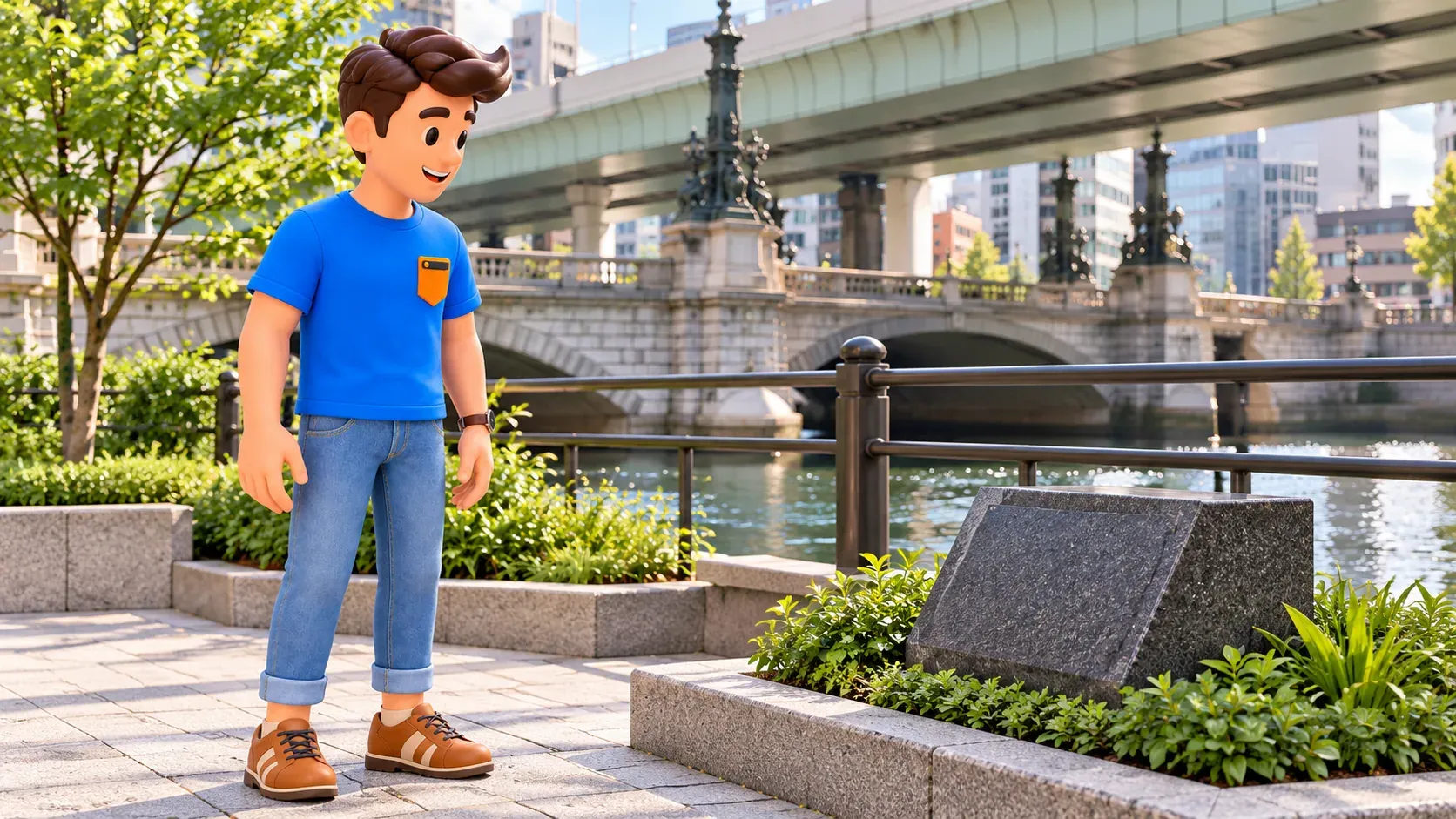
Northeast of the bridge, a memorial in Otohime Square recalls the former Nihonbashi fish market. Today's waterfront is not a surviving operating fish market from the Edo period. The memorial draws attention to a function that modern facades can hide: water was a working means of supplying the city, rather than simply an attractive gap between buildings or a background for a bridge photograph.
The market's origin is associated with fishermen who supplied fish to the Tokugawa household and sold the surplus. The riverside developed into an important trading area. Following the Great Kanto Earthquake of 1923, the market left Nihonbashi, and the next part of its history is connected with Tsukiji. Avoid compressing a complex transition into an imagined morning when a complete modern market instantly appeared somewhere else.
Use RoadMe to shape a personal plan around the subjects you enjoy: roads, trade, architecture or everyday city life. Try giving one small memorial and your own questions time beside the bridge, rather than making a full circuit of the district compulsory.
The road origin and the fish market memorial illuminate each other. One concerns direction and measurement; the other suggests what actually moved through the city and why. Looking only at architectural decoration misses that relationship. Once you include the river, it becomes easier to understand why several different urban functions gathered around a single crossing, even though much of their historical activity is no longer visible.
A short visit can follow three questions
Begin with the bridge as a whole, then find the accessible replica of the road marker. If time and current pedestrian access allow, look at the fish market memorial on the other side of the northern bridge end. This is an order of questions, rather than a compulsory turn by turn route. Check a current map, pavements and permitted crossings, particularly where works affect the immediate surroundings.
Make three different observations: notice the crossing, examine one object concerned with distance, and connect a memorial with the river. For children, the same sequence can become a conversation. Why would roads need an agreed beginning? How did food reach a large city? Why can a marker move while the place keeps its significance? These questions work without detailed biographies of the people involved in each monument.
Do not promise an unobstructed sky above the bridge or a completed road transformation on the strength of an old or future illustration. The district changes, and construction projects and particular views depend on the date. The central story works without a perfect panorama. Nihonbashi offers a way to distinguish a location on a map from a location that a society has given a special coordinating role.
Choose your continuation according to interest. Stay for architecture, add a shop, or finish this short historical visit and travel elsewhere. Understanding the road origin does not require walking all of the Nihonbashi district. Connecting the start of a highway, a visible marker and a working river is enough to reveal three different ways in which a city explains its relationship with the rest of the country.


