Why mainland France measures its heights from Marseille
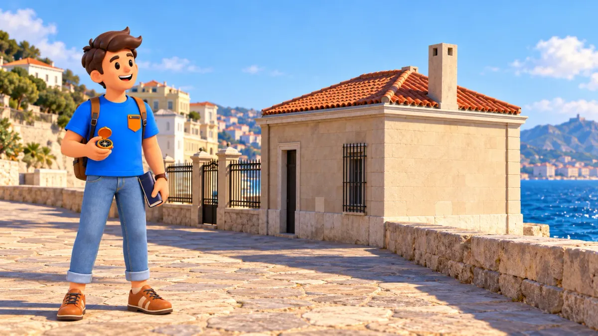
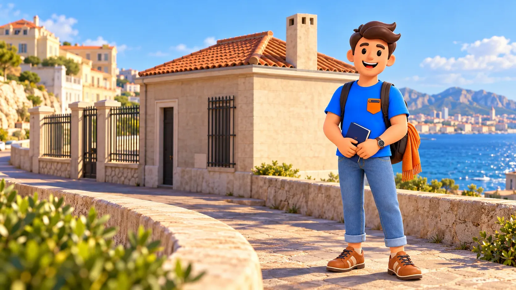
The sea beside Marseille connects with the heights of places far inland in an unexpected way. Observations at the Marégraphe de Marseille helped establish the reference from which official elevations in mainland France are expressed. A modest coastal building therefore belongs to a story much larger than its appearance suggests.
You do not need to be a surveyor to enjoy that connection. Think of the place as a small piece of scientific heritage, with an essential distinction: a historical height reference is fixed, while the sea continues to move. The observatory is an active technical site, and a real interior visit needs actual confirmation rather than an assumption of daily admission.
Notice a scientific landmark inside the seaside city
The Corniche naturally draws attention to water, distant hills and the curve of the coast. The tide-gauge observatory invites a different kind of looking: consider the connection between a small coastal place and numbers used to describe land. Its value is not a grand decorative facade or a succession of public exhibition rooms. It is the work performed here over time. Once you know the question the instruments were built to answer, the modest architecture becomes easier to appreciate. Marseille appears as a city of measurement and observation as well as harbours, monuments and Mediterranean views.
You can keep that idea within a wider seaside day rather than make the observatory the reason for every movement. Our Corniche walk introduces another section of this coastal setting; it does not guarantee access to the scientific site. Choose a permitted exterior look if appropriate to the actual conditions, a genuinely confirmed visit, or the institution’s virtual presentation. Each is a different form of encounter. None requires you to pretend that looking at a closed gate is the same as seeing the instruments. The history can still add meaning to the city even when the available format is limited.
Let RoadMe build your complete personal Marseille trip around your interests, available days and preferred pace. The app makes it much more convenient and effective to combine seaside walks, scientific curiosities, culture and the rest of a stay designed for you.
A height needs a shared starting reference
An elevation makes sense only with a reference. Saying a hill is a certain height leaves a question: measured from what? For a shared system, the answer cannot change with every observer’s starting point. France’s official mainland system, commonly called IGN69, retains an origin linked to historical observations of mean sea level at Marseille. The connection is a convention used to make heights comparable. It does not mean that every hilltop was measured by stretching a line directly from this room or that the visible sea surface is an unchanging ruler laid across the country.
The everyday intuition of level water is a useful beginning, but a national height system is more carefully constructed than that simple image. Surveying links reference points and accounts for the conditions required by the system. You need not reproduce those calculations to understand why a common origin matters. Imagine trying to compare measurements made from different arbitrary floors: the figures would not answer the same question. The scientific task is to establish relationships that can be shared, checked and maintained. Our illustrated spirit level is a conceptual everyday analogy in a fictional room, not the actual fundamental benchmark or a demonstration of national surveying procedure.
The reference came from years of watching the sea
The Corniche observatory belongs to the late nineteenth century, and its historic instrument began observations in February 1885. The measurements used for the reference run from 1 February 1885 to 1 January 1897, roughly twelve years. That period matters more for a first encounter than a long list of construction dates. The reference was not chosen by watching one attractive wave, waiting for a single low tide or photographing the water against a wall. Repeated observation made a mean level available as the basis for a lasting shared convention.
Mean level is different from the sea you see during a walk. Water moves with tides and other influences, and an instant view cannot stand in for a long record. Keep that distinction when the coast looks especially calm. A still-looking surface does not reveal the historical average by itself, just as a rough afternoon does not rewrite the reference. The useful story is patient observation becoming a common starting point. You can appreciate the work without treating the observer’s task as a dramatic discovery made at one perfect second. The importance lies partly in returning to measurements and preserving their relationship through time.
A float turns water movement into a record
A traditional mechanical tide gauge uses a float in a well connected with the sea. The well reduces the immediate effects of waves, while the float follows changes in water height. A connection transmits that movement to a recording mechanism; a clock-driven paper drum can carry a trace of change through time. This introduces the basic idea without requiring the full machine to be reconstructed in your mind. The historic Reitz instrument at Marseille also has a totalising mechanism that makes calculating mean level easier. It is more than a decorative old clock with a maritime story attached.
The useful distinction is between a moving surface and a record you can compare. A visitor sees a moment; an instrument and its observations create something that can be examined later. Our bowl and cork illustration is deliberately a simple conceptual analogy in a fictional room. It is not a model of the Reitz apparatus, a reconstruction of the observatory’s interior or a workshop available on a visit. Let the institution’s actual explanation supply the machinery’s specific arrangement. You can understand why floating and recording matter without assuming every pictured everyday object belongs to the scientific collection or performs the real instrument’s work.

A stable point carries the reference beyond the water
Once a mean level has been selected, a durable physical reference is needed. The fundamental benchmark is fixed into the observatory’s solid setting. A crucial detail is that this material point is above the chosen zero, not a visible waterline marked as zero on the shore. Its known relationship to the origin allows the reference to be carried into a network of levelled points. The object and the level it represents are therefore different things. You do not have to reach or touch the point to understand that relationship, and visitors should follow the actual limits of a confirmed visit.
From there, think about connections rather than a single miraculous number. A reference becomes useful when other points can be related to it through surveying. The network is what makes the small coastal observatory relevant to land far away. A simple spirit level on a table can suggest the idea of comparing levels, but it cannot explain the full procedures, gravity-related definitions or accuracy of a national system. Resist turning the analogy into a technical claim. The rewarding insight is that an apparently distant altitude and a carefully maintained local point can belong to one shared framework, even though the landscape between them is neither flat nor simple.

Mainland France is the important limit
The phrase mainland France is essential to the headline. Corsica has its own height origin associated with observations at Ajaccio. Overseas territories and other countries cannot simply be folded into a claim that every altitude everywhere begins in Marseille. Different reference systems are one reason a number needs context. Nor should an ordinary phone’s displayed height be treated as an automatic direct reading of this historic benchmark. A travel article can explain the connection without promising that all devices, maps and territories use the same definition in exactly the same way.
The mainland origin remains a historical convention even though the sea’s mean level changes. An IGN explanation published in October 2026 explicitly distinguishes the reference used for IGN69 from recent changes in sea level. That avoids a tempting misunderstanding: mountains do not automatically receive a new official height every time the tide rises. The system and ongoing observations have related but different purposes. Keep the story at that scale. You can appreciate the surprising link to Marseille without memorising technical acronyms beyond the one that helps identify the mainland system, or treating the building as the single source of every height shown on every map.
The observatory still has work to do
The site is not only a place where a useful reference was established long ago. Its historic mechanical instrument remains maintained alongside modern sea-level observation equipment, including a digital radar system. The work involves IGN, Shom and scientific partners. Modern observations also consider movements of the land, because a changing distance between an instrument and water needs interpretation. That makes the place a living observatory rather than an abandoned scientific room. Old equipment can have continuing value without being the only tool used, and a historical story can remain connected with present research.
For a traveller, the interesting contrast is between a quiet building and the long attention behind its measurements. One photograph cannot demonstrate a long-term trend, and one high-water day is not a complete account of sea-level change. This article does not turn a visit into a forecast or supply a current rise figure without its period and method. If water infrastructure interests you, our Longchamp water-palace story introduces a different relationship between Marseille and water: supplying the city rather than establishing a height reference. Comparing those purposes can enrich a stay without making the two places versions of the same engineering project.
Choose an actual visit format, not an assumed open door
At the check on 24 October 2026, the partner association explains that broader public opening depends on the site’s arrangements as a public-access establishment. Real visits are organised, but a form expressing interest in future visits is not a confirmed appointment. IGN offers contact information and a virtual visit. An exceptional heritage-day opening already described in the 2026 news is a past event, not proof of ordinary daily admission. Confirm a real date and conditions with the organiser before making an interior visit the fixed centre of your day.
Our guide to what to plan ahead in Marseille considers this kind of special access alongside other advance decisions. If confirmation is unavailable, choose an independent activity for the day and explore the scientific story through the virtual presentation. For any exterior look, use actual permitted pedestrian space; our staged foregrounds do not show a safe roadside position or an entrance route. Leave with one clear distinction: the moving sea helped create a fixed reference. That is enough to connect a modest observatory with the wider landscape, without requiring a full instrument tour or turning your Marseille trip into a surveying course.
RoadMe turns the places and experiences you care about into a personal plan for the whole trip. Organise a more rewarding Marseille stay with less planning effort in the app, and confirm any special observatory visit separately with its organiser.