Sugiton from Marseille: the viewpoint or the walk down to the cove?
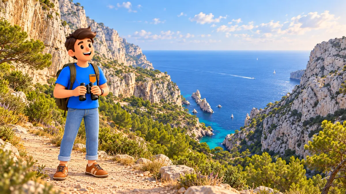
Sugiton offers two different outings from Marseille. You can walk from Luminy to a high viewpoint, enjoy the limestone coast and return without reaching the shore. Or you can make the cove your main destination, accepting a rougher descent and a substantial climb back. Decide which experience you want before the sea appears and makes every extra path look tempting.
As an editorial framework, allow around two to two and a half hours from Luminy for the viewpoint with pauses, or four to five hours for the cove with a proper shore break. Add transport from your accommodation and actual waiting time. These estimates depend on your pace and the permitted route; neither describes a flat city stroll.
Choose the viewpoint or the cove as the main experience
Choose the viewpoint when your main interest is the coastal landscape as a whole: pale ridges, wooded valleys and the shape of the sea entering the land. It is a complete outing rather than an unfinished beach visit. You gain the larger geographical picture and keep more energy for the rest of Marseille.
Choose the cove when walking on mountain terrain and spending time close to the sea are what you want from the day. The national park describes the route as moderate and warns that the climb back can be demanding. Its itinerary allows about an hour outward and an hour and fifteen minutes back for walking alone. Add rests, orientation and the time you actually want ashore. A short photograph at the bottom is unlikely to justify rushing such a substantial outing.
Agree on the return before leaving Luminy. Consider the slowest comfortable pace in your group and the energy needed for the uphill section. A viewpoint stop followed by an unplanned cove descent changes the time budget. If you include both, allow the extra detour honestly and reassess conditions. A chosen stopping point lets the day feel deliberate and enjoyable.
Let RoadMe develop your complete personal Marseille itinerary around your interests, available time and preferred pace. The app makes it much easier to give this nature outing the right place in a trip that balances walks, city visits and rest.
Check coastal reservations and fire access separately
The coastal reservation system and the general opening of the massif are different checks. For the published 2026 season, free advance booking applied on 20–21 June, daily from 27 June to 30 August, and on 5–6 and 12–13 September. These are dated conditions, not a calendar to reuse automatically for another year. For a future summer trip, check the newly published programme before planning the descent. A free booking can still be mandatory on the dates when the system operates.
The reservation concerns the coastal Sugiton and Pierres Tombées sector, with the controlled boundary shown by the park and on site. It is not a reservation for the entire Luminy approach. The tourism office identifies the col as outside this booking requirement. Check the official boundary for your chosen route rather than following an apparent side path around a control. Under the published system, bookings open three days before the visit at 09:00 and close at 18:00 the previous day; keep the confirmation available.
Fire restrictions apply independently. During the regulated period from 1 June to 30 September, consult the official access status for the following day, available by 18:00, and check again before departure. A closure for fire risk cancels the outing even if you have a coastal reservation. The shorter viewpoint plan does not provide a way around a land-access ban. Outside the quota dates, continue to respect current closures and local signs.
Reach Luminy and let the forest become part of the walk
Use the current RTM journey information to reach Luminy–PN des Calanques, served by B1, and check the return connection for your date. Read the stop name rather than assuming every campus destination is the same place. Add the actual journey from your accommodation; a route beginning at Luminy is not timed from the Vieux-Port. Arrive early enough to start without hurrying and to return in daylight. The landscape can be enjoyed without making a sunset descent the foundation of the plan.
At the entrance, read the information displayed and follow the marked authorised approach towards the col de Sugiton. This article explains the choice of outing, rather than replacing the park map or trail signs. Keep the current route information available and avoid short cuts through vegetation. The initial wooded setting is worth attention in its own right. Listen to the change from campus activity to the paths and notice how the light passes between the pines before the broader limestone landscape opens.
Luminy was a rural estate before it became a university gateway to the Calanques. The park describes the older agricultural and pastoral landscape, with traces including the former sheepfold near the col. This small piece of history changes the walk: the woodland is more than a waiting room for the coast. Look at visible remains from the permitted path and leave them undisturbed. A brief pause here gives the outing some depth without turning it into a catalogue of every ruin or a separate historical expedition.

Make the viewpoint a satisfying destination
For the shorter version, follow the authorised branch towards the belvédère and return by the appropriate marked approach to Luminy. Do not treat the viewpoint as the top of a direct descent to the beach below. A steep landscape can make places look close even when the safe path reaches them differently. If you later choose to descend, return to the proper junction and follow the permitted cove route with the time and energy that it requires. The map, current signs and conditions take priority.
The viewpoint is also known as the Tour d’Orient. The national park places it at about 245 metres above sea level, on the site of a former military lookout. The reason for that position remains easy to appreciate: a broad view of coast and open water. To one side, the Morgiou inlet reveals its small harbour and houses deep between limestone slopes. Elsewhere, the Torpilleur rock helps identify Sugiton. They are neighbouring landscapes, not two names for the same cove.
Choose a permitted place to stop, keeping space for others and respecting barriers and edges. Look first at the broad relationship between hills and water, then pick one detail: a ridge, the narrow harbour basin or a change of colour close to shore. Photograph only after you have had a moment to see it. The shorter outing can end here with a clear impression, leaving the descent for a day when it is the actual plan.
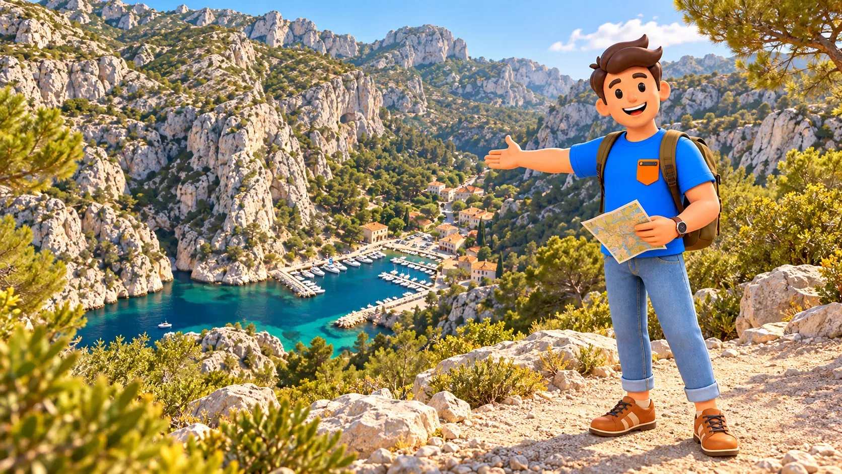
Descend to Sugiton only when the full outing fits
If the cove is your chosen destination and access is permitted, take the marked route from the appropriate junction. Expect a different task from the woodland approach. The park describes uneven terrain and a strenuous return for less prepared walkers and some families. A section using a wider track does not turn the entire route into a smooth road to the beach. Keep the final rocky access and the eventual ascent in your calculation. Follow the route actually open rather than copying an old photograph or a line that merely looks direct.
At the coast, Sugiton is a small place framed by a large landscape. Its little coves and the elongated offshore Torpilleur rock explain much of its appeal. Find a permitted spot without spreading belongings into the path or protected regeneration areas. Give yourself time to look up at the limestone that made the descent feel so substantial. A simple rest with food and water can be enough. Swimming is an optional decision for actual sea conditions and your ability, rather than a necessary reward for reaching the bottom.
The booking system responds to erosion caused by heavy footfall. Soil moves downhill, exposing roots and making it harder for vegetation to recover. Stay on marked paths and respect protected areas; a short cut for a better photograph adds pressure to the same fragile ground. Keep rubbish with you and leave plants and stones where they are. The useful contribution is modest and practical. Enjoying the cove also means allowing its small size and recovery needs to shape how you occupy it.
Prepare for a walking day and protect the climb back
Bring enough water for the complete outing, food, footwear with suitable grip and protection for the weather you actually expect. A small backpack should hold what you need without becoming unnecessary weight on the ascent. Do not build the plan around finding a café, shade or a water supply at the exact moment you need them. The setting remains a mountain landscape by the sea.
Consider heat, wind, rain and the group’s real condition together. A shorter viewpoint walk may be more appropriate than the descent on an otherwise open day, but it still involves natural terrain and is not a promise of step-free access. For specific mobility needs, obtain accurate information on the actual route before committing. With children, plan to their walking ability and the return climb. Keeping everyone comfortable is part of a successful outing, not something to solve after reaching the shore.
Before settling into a long break, decide when to start back. Allow the park’s longer uphill walking estimate, your own rests and a margin for the bus connection. Do not spend the return energy as if it were extra beach time. If someone is already struggling on the approach, changing the destination early can preserve a pleasant day. The better choice may be the viewpoint or a shorter permitted walk followed by a relaxed return to Marseille.
RoadMe can work out your whole personal trip with the mix of landscapes, culture and downtime that suits you. Use the app to plan the days more conveniently and efficiently, while checking official access conditions for the hike itself.
Return to Luminy and leave the evening easy
Return by the permitted route you have prepared, keeping the group together and avoiding improvised cliff-side continuations. A route towards another cove may involve a different difficulty and should not appear as a casual addition to this plan. Give the ascent the time it needs, with pauses in suitable places. Reach the Luminy stop with a realistic transport margin. The outing finishes when you are comfortably back in the city, rather than when you have taken the last picture beside the water.
Our Corniche walk offers a different kind of sea day on the urban waterfront when a mountain outing does not suit the conditions or the group. It is a separate plan with its own local conditions. Choose it before travelling to Luminy if the massif is closed, instead of searching for another entrance. When Sugiton does work, keep the evening simple: a meal, a rest and space to remember the scale of the limestone coast without another distant appointment.
The main choice remains straightforward. The viewpoint gives you the broad landscape and a shorter outing; the cove asks for a more committed walking day and a proper uphill return. Forest history, the old lookout and the fragile shore add enough meaning to either version. Give the chosen experience its time and let the rest of the trip follow a comfortable rhythm.