
La Latina in two hours: small squares and old Madrid streets
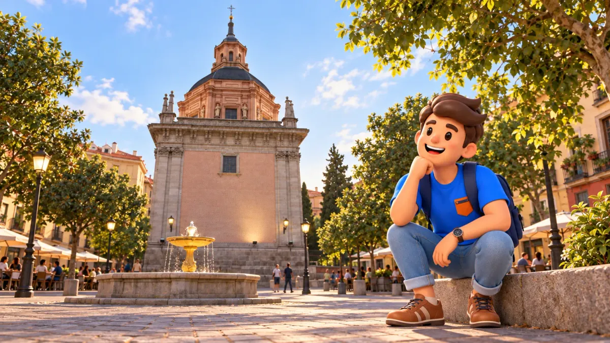
La Latina is rewarding to explore through the way narrow streets suddenly open into small squares. A moment after looking at tavern entrances, you find a church; several turns later, a different arrangement of façades and a brick tower appear. Two hours can feel substantial without a major museum. Follow Cava Baja, pause at San Andrés, spend time in Plaza de la Paja and return through Calle del Nuncio, watching the neighbourhood change between them.
This small loop begins near Puerta Cerrada and returns to roughly the same place. The basic version follows public streets and includes exterior views. Two hours is an editorial estimate, including connections and brief pauses, rather than a measured walking time. San Isidro Museum, church interiors, the Bishop’s Chapel and a leisurely tavern meal need extra time. Choose any of these separately if one place becomes the particular focus of your visit.
Follow the squares and the street pattern
The walk combines an older urban layout with present-day life around it. La Latina is in central Madrid; when searching for directions, distinguish this visitor neighbourhood from the more distant administrative district called Latina. What matters here is the connection between close streets, rather than a journey across the city. Find Puerta Cerrada and the entrance to Cava Baja, then allow yourself to look around without continually seeking another distant address on a screen.
Make the outing easier to organise with RoadMe: the app develops a personal route around your interests, available time and pace. Choose history, architecture or food so that the old streets and selected stops form a plan that fits your own trip.
La Latina’s name is associated with writer and humanist Beatriz Galindo, whose nickname reflected her command of Latin. A particular cultural history sits behind the familiar neighbourhood name. Keeping that connection in mind is enough for a first walk. Later, square names bring more practical activities into view: barley, carts and straw recall commerce and the ordinary work of an older city, beyond the monuments that now tend to receive most attention.
Daylight helps with façades and the tower, while your chosen hour changes the experience of restaurant streets. On Sundays and public holidays, nearby El Rastro attracts many people, so do not expect an empty neighbourhood. The market itself is outside this two-hour loop. If you want shopping as well, allow more time from the outset. A substantial extra activity cannot reliably be fitted into the brief intervals between the squares without changing the outing.
Five parts of one small loop
- 20 minutes: Puerta Cerrada and Cava Baja. Begin with an overall view and walk south.
- 20 minutes: towards Cebada. Notice the change of scale and the trading history behind the name.
- 25 minutes: San Andrés. Approach and view the church and San Isidro Museum from outside.
- 25 minutes: Plaza de la Paja and the Bishop’s Chapel. Pause and observe the exterior forms.
- 30 minutes: San Pedro el Viejo and Nuncio. See the tower and return towards the starting square.
These blocks total 120 minutes, with connections already included. They are intended for attention to several places, rather than uninterrupted fast walking. If you stay longer in Plaza de la Paja, shorten the following pause. Consider tiredness as well: older streets can be narrow and sloping, and short distances do not feel equally easy to everyone. Arrival and travel after the finish remain outside the two-hour estimate, especially when you have a later appointment elsewhere.
Coming from La Latina Metro, begin at Cebada and San Andrés, continue through Paja and Nuncio, then follow Cava Baja back towards Cebada. The comparison still works; you have simply moved the starting point around the loop. For ninety minutes, choose either a longer look at San Andrés or the main pause in Paja, reducing the other. Keep the sense of a small complete area instead of hurrying everyone to preserve every original stop.
Cava Baja: a trading street becomes a meeting place
From Puerta Cerrada, follow Cava Baja south. Today it is closely associated with taverns and food, while its history includes inns and traders arriving in Madrid. Hospitality therefore has a longer local context than a recent restaurant opening might suggest. Look at entrances, smaller façades and buildings following the street’s changing line. The interest lies in a sequence of neighbouring spaces, alongside any famous establishment you may already have heard about before coming.
For a first pass, look above the menus. Windows, balconies and the depth of the street reveal a residential layer over the restaurants. The neighbourhood extends beyond café tables, with ordinary entrances and people going about their business nearby. Choose one overall view and one detail rather than stopping at every sign. Cava Baja can then remain in memory as an urban space, instead of an indistinct collection of lunch options that becomes difficult to separate later.
If tapas are the main reason for coming, choose one place and give it a separate time block. Moving between several establishments is another format, easily lasting longer than this whole walk. The basic version lets you notice food culture from the street or take a short pause when circumstances suit. It cannot guarantee a free table and fast service. When a tavern becomes your main interest, shorten the exterior sequence rather than trying to recover it at a rush.

Cebada: the city’s work survives in a name
Reaching Plaza de la Cebada changes the impression after narrower Cava Baja. Its name refers to barley and earlier food trading. Together with nearby names such as Carros and Paja, it recalls movement of goods, carts and people through the historic city. This small key makes the walk easier to understand. Squares existed for practical urban activities as well as attractive views, and those activities gradually changed their form while leaving names in everyday use.
There is no need to find an exact reconstruction of the old market in today’s space. Compare width, approaches and how people move instead. After a street of continuous façades, the square offers another chance to stop and take in the surroundings. With children, look for three differences between street and square. Building height, number of directions and distance to the opposite façade provide accessible observations without requiring a full history lesson before the next turn.
Continue towards San Andrés through the neighbouring smaller squares. Their boundaries need not become rigid lines in memory. The interesting part is how one space flows into another: an address on a map suggests an individual square, while the ground offers a continuous sequence of meetings, steps, façades and passages. A few minutes of ordinary walking become part of the experience. That relationship is difficult to recover from a list containing only separate buildings and their names.
San Andrés: a church and museum tell different stories
Near Plaza de San Andrés stand the church and the San Isidro Museum, also called The Origins of Madrid. These neighbouring addresses have different purposes. The church belongs to one of Madrid’s oldest parishes, although its present appearance developed through destruction, alteration and restoration. Do not read the visible complex as one unchanged medieval building. Even a short exterior look becomes more meaningful when the age of a place is distinguished from that of its particular structures.
The museum at Plaza de San Andrés, 2, explores archaeology and Madrid’s history from prehistory to the establishment of the court in the city. Keep it for a separate visit if that subject appeals to you. The route’s twenty-five minutes include the approach and exterior views of neighbouring buildings. They do not promise a collection visit between two photographs. For a museum-led outing, reduce the street section instead of turning city history into an obligatory dash through galleries.
Here you can choose what to pursue later. One visitor may prefer religious history and the city’s patron saint, another early urban development, and another the relationship between squares and façades. The exterior walk leaves these possibilities open. Going through every door is unnecessary for a coherent impression. The proximity of church and museum already shows how one small part of a neighbourhood supports different stories about Madrid and different reasons for returning with more time.
Plaza de la Paja: take the main pause
Continue to Plaza de la Paja. Its name recalls straw and forage trading, connecting the space with earlier commercial life. Let your attention slow down here. After several short connections, choose a public position where the slope, façades and approaching streets can be seen together. Compare it with Cebada. A related history of trading does not make the two squares identical in shape or feeling, especially once you observe how people currently use each space.
The Bishop’s Chapel, Capilla del Obispo, belongs to the sixteenth century and combines a Gothic architectural structure with Renaissance decoration. It is associated with the Vargas family and the bishop of Plasencia. For this walk it is a separate exterior landmark, rather than a promise of unrestricted interior access alongside the neighbouring church. A visit has its own arrangements. Knowing its cultural interest is enough to choose a return if the first encounter particularly attracts you.
To connect this walk with museums, rest and your food interests, let RoadMe prepare a personal trip plan around your dates and preferences. The app makes it easier to distribute fuller visits and unhurried walks across your days while keeping a rhythm that feels comfortable for you.
You can finish the shorter version here if you would rather stay at a table. That is a complete choice, not a failed itinerary. Otherwise, keep time for the final street and tower. Avoid automatically adding gardens, a large basilica and a sunset viewpoint. Each may be interesting, but together they change a two-hour outing. A clear ending can be more enjoyable than gradually turning a small walk into a long day with no deliberate pauses.
San Pedro el Viejo and the return along Nuncio
Head to San Pedro el Viejo at Calle del Nuncio, 14. The parish is mentioned in a document of 1202, but the present building contains later changes. Its brick Mudéjar tower may date from the mid-fourteenth century. That qualification matters: architectural dating does not make the whole church a surviving building from one precise year. For the walk, appreciate the tower as an expressive vertical landmark among closely placed houses, with a historical context that remains carefully stated.
Look at brickwork, proportions and the arches of the windows, then return to the street as a whole. The tower works differently from a broad façade facing an open square. It appears within tighter surroundings and from changing angles. A legend is unnecessary to explain every element, and the tower should not simply be declared a proven former minaret. Visible architecture and a cautious historical note already provide a worthwhile stop, completing the comparison between streets, squares and exterior forms.
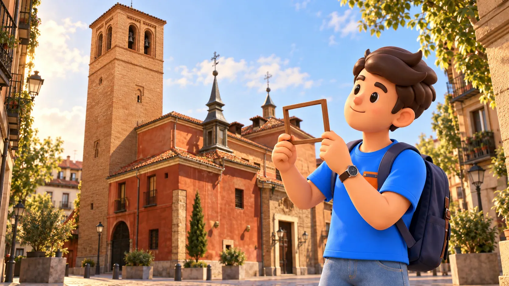
Follow Nuncio back towards Puerta Cerrada. Finishing near the start makes it easy to continue towards your next address. If another district interests you, our half-day Lavapiés plan offers a separate outing with a corrala, a market and contemporary culture. From La Latina, keep a simpler impression: an old city reveals itself through the connections between small squares, alongside the larger monuments that first put Madrid on your list.


