How water shaped Abu Dhabi: islands, crossings and coast

Water in Abu Dhabi is more than the setting for a beach photograph. It separates land, makes crossings important and creates a living coastal environment. Al Maqta, Sheikh Zayed Bridge and the mangroves at Jubail offer three ways to notice those roles. Together they make the city easier to understand, even if you visit only one of them during your stay.
This is a theme to carry into a walk, not a single continuous walking route. A historic crossing area, a major road bridge and a mangrove park have different access arrangements and belong to different parts of your planning. Choose one as the main reason for an outing, then allow the rest of the day to fit around it.
Look at the water before the skyline
When buildings fill the view, it is easy to overlook the gap between the shorelines. Ask what lies across the water and how people reach it. A bridge that seemed like a brief part of a taxi journey can become a clue to the city's shape. The distance across a channel matters differently from the same distance along a pavement.
Try RoadMe to turn that curiosity into a complete personal route or trip. The app develops the programme around your interests, dates, pace and budget, making it much more convenient to connect historical places, coastal walks, journeys and rest across Abu Dhabi.
Do not read every stretch of blue on a city map as the same kind of space. A channel between land areas, open coastal water and a sheltered mangrove setting have different relationships with their surroundings. Recognising those differences is already useful, without trying to reconstruct the entire coastline or learn every island name before you go.
Al Maqta: the importance of arriving on an island
The Al Maqta area makes the relationship between Abu Dhabi Island and the mainland visible. The naturally formed channel was not just background scenery. Crossing it meant reaching the island, so the crossing acquired a role in protection and the movement of people. The landscape helps explain why this particular place mattered.
The historic Al Maqta Tower stands in the channel, separate from the museum on shore. Its story belongs to guarding the crossing and marking arrival. Look at it as an element within a wider setting: water, the approach to land and the need to observe movement belong to the same historical question.
A modest tower can be more revealing when you notice its position than when you consider only its size. The interesting point is what could be watched from here and why a traveller's arrival needed attention. The water gives the structure meaning; removing it from that setting would remove part of the explanation.
This does not mean the tower is an ordinary walk-in attraction. An observation from a suitable visitor area and a museum visit are different activities. Do not treat a historic landmark in the water as permission to find an improvised way across or assume that a path on a broad map is a visitor entrance.
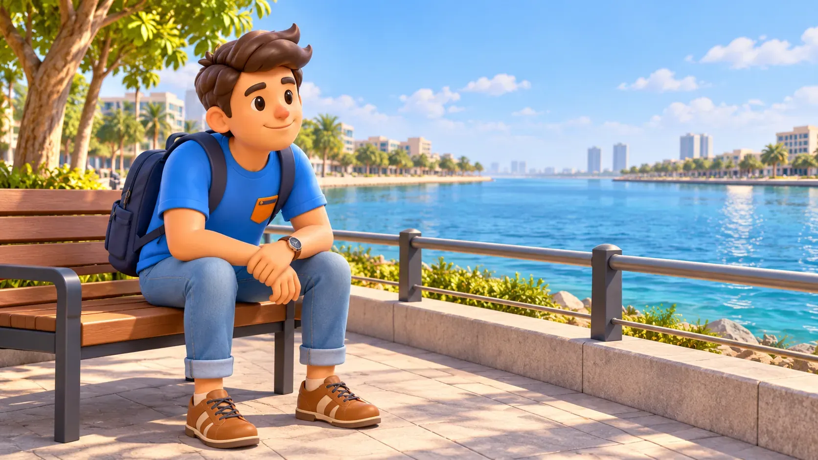
The museum and tower tell connected but different stories
Al Maqta'a Museum is on shore, within a reconstruction of the former customs-house building associated with the twentieth-century crossing. It is not a museum inside the old tower. Keeping the two separate makes the history clearer: an earlier defensive landmark and a later building for controlling movement belong to different layers of the area.
The museum helps connect the crossing to the changing city. A route into an island can need supervision, buildings and services as movement grows. These are everyday consequences of geography, not simply details of a monument. The place lets you think about arrival as a practical problem that the city had to organise.
Use the museum as the main anchor if this history interests you. Check its current visitor information and give the exhibits attention before adding another destination. A programme or demonstration should be chosen according to the actual calendar, not assumed to take place whenever you happen to arrive.
Leave room afterwards to look at the surrounding water from an accessible area. That return from interpretation to landscape gives the visit a clear connection. You have a question in mind, so an ordinary view across the channel can tell you more than an additional distant landmark visited without time to understand it.
Sheikh Zayed Bridge: a connection becomes a landmark
Sheikh Zayed Bridge offers a modern answer to the same basic geographic fact. Designed by Zaha Hadid Architects, it crosses the Maqta Channel between Abu Dhabi Island and the mainland. Its undulating forms draw on the region's dunes, giving an essential transport connection a recognisable architectural presence.
The bridge is therefore both something to look at and something that carries movement. If you see it only as a sculpture, you miss its job. If you notice it only as a few moments in a vehicle, you miss how that job has been expressed through form. Holding both ideas together makes the view more interesting.
Follow the relationship between the roadway, supports and water rather than trying to identify every structural detail. The line of the crossing makes the separation between island and mainland tangible. A wide city map can make that separation appear small, but the bridge reminds you that a real connection has to be provided.
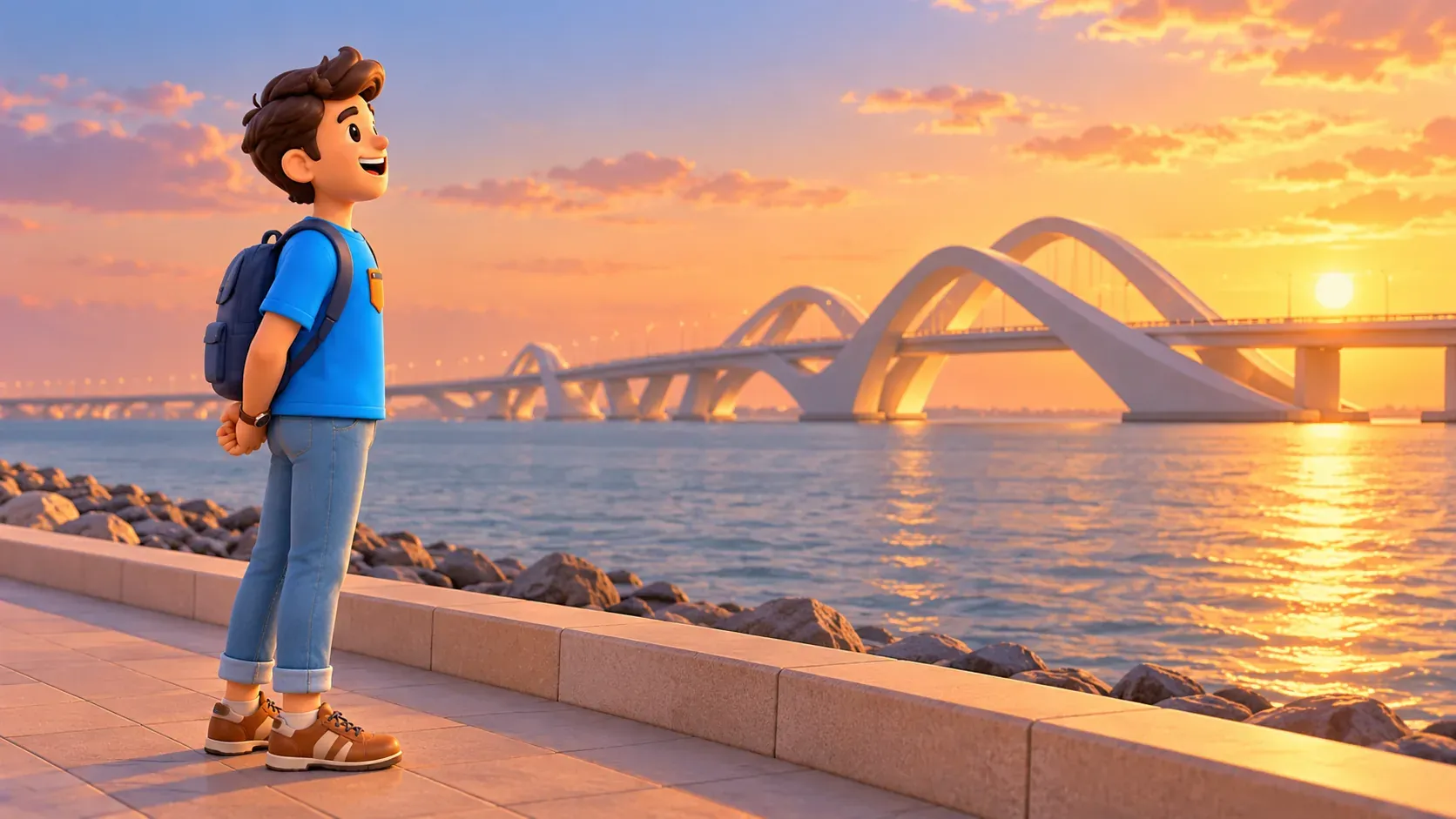
A bridge view needs its own practical decision
Do not assume a visit to Al Maqta'a Museum includes an unrestricted walking route to every bridge viewpoint. Roads, shore access and the exact visitor area matter. If you want a separate view, identify a suitable public place and the actual journey to it before adding the stop to your day.
You do not need to walk onto a major road crossing or stop a vehicle on a bridge for a picture. A passing view during an ordinary journey can be one kind of experience; a planned observation from an appropriate shore location is another. Choose the one that fits your trip rather than forcing an unsuitable approach.
Also distinguish Sheikh Zayed Bridge from Al Maqta Bridge. They are separate crossings, not interchangeable names for one structure. When arranging travel or looking at an entrance, use the correct destination. That small piece of clarity keeps an architectural interest from turning into an unnecessary detour around the same channel.
Jubail: water is a habitat, not only a boundary
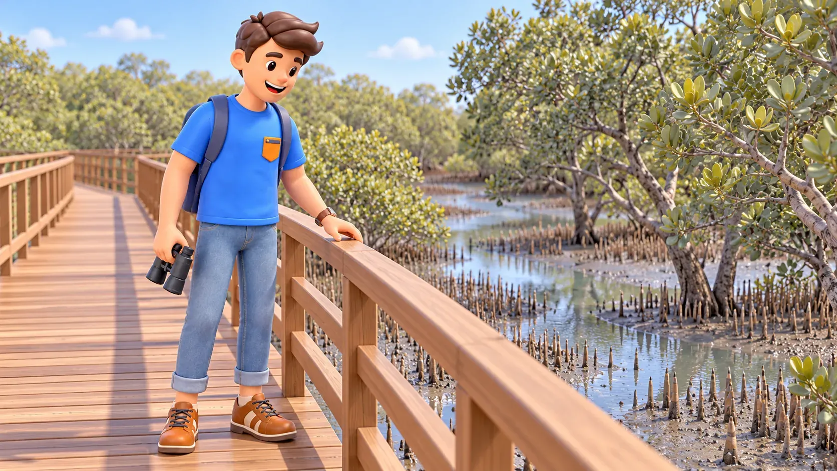
The mangroves at Jubail reveal another role of the coast. Here, water, mud, roots and trees form a living environment. The landscape is not an empty gap waiting for a bridge or a backdrop to buildings. It has its own ecological value, supporting marine and bird life along the coast.
The local grey mangrove, Avicennia marina, offers a small detail worth noticing: upright breathing roots rise from the ground. From the designated boardwalk, look at the relationship between those roots, exposed mud and the water channels. A little attention to that boundary can make the landscape more legible than a quick wide photograph.
Tides change what is visible. More water fills the channels at one stage; another exposes more intertidal ground. Lower water is not simply an unsuccessful version of a full-water view. It reveals a different part of the same system and can make the connection between the trees and the ground easier to notice.
Wildlife is not a timed attraction. Enjoy a sighting when it happens without turning it into a requirement for the visit to succeed. The shapes of the channels and the way plants occupy the water's edge are already worth looking at. A quiet landscape can tell a story without an animal appearing in the centre of every frame.
Choose the way you want to meet that landscape
A boardwalk visit and an organised water activity are different products with different arrangements. For this theme, a selective walk can be enough. If kayaking or another activity is important to you, check the actual booking, participation conditions and suitable circumstances instead of assuming it comes with ordinary park access.
Follow the designated paths, leave wildlife undisturbed and do not enter the water. The boardwalk provides a way to observe while respecting the habitat. Check current admission arrangements and weather before leaving. A green setting does not guarantee continuous shade or comfortable outdoor conditions throughout the day.
Jubail is a separate outing from the Al Maqta crossing area. Their shared water theme does not put them next to each other or turn them into a convenient single walk. If you want both during the holiday, choose separate opportunities that fit your accommodation, interests and energy.
Build a visit around one clear question
For a history-led outing, ask how reaching the island was controlled and begin with Al Maqta'a Museum. For architecture, consider how a necessary crossing became a landmark. For a landscape outing, ask how the water's edge supports life and choose Jubail. Each question provides a complete reason to go without requiring the other two on the same day.
Keep arrival, observation and the journey back separate in the plan. The museum entrance, a shore viewpoint and a park boardwalk are not the same kind of access point. Allow a pause after the main visit instead of assuming that every spare interval should be used to move to another place.
These observations can change the rest of your holiday. A later bridge journey may make more sense, and an ordinary waterfront walk may reveal the difference between a built edge and a living shore. You do not need an exhaustive lesson in geography to recognise that the city has been shaped by relationships across and along water.
RoadMe makes the wider programme much easier to develop, creating a personal itinerary around your interests and preferred rhythm. Let the app work through the full trip so a historical visit, architectural view or nature walk fits comfortably into the days you have.
Look at water as a boundary, a connection and a habitat. Al Maqta, Sheikh Zayed Bridge and Jubail then become more than separate names on a list: they offer different ways to understand why Abu Dhabi looks and works as it does.