
Fern Dell to Griffith Observatory: A Half-Day Walk
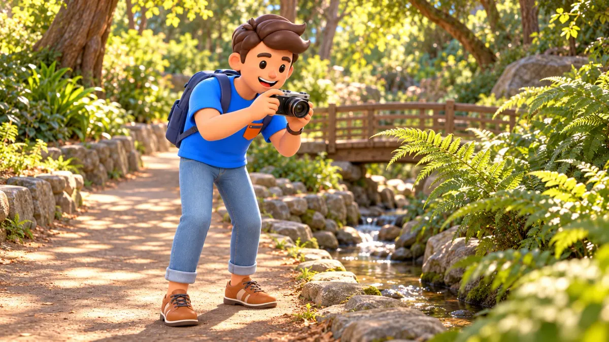
The walk from Fern Dell to Griffith Observatory works because the landscape changes gradually. A shaded path beside water leads into drier, open hillside, then to a broad view over Los Angeles. Allow half a day to enjoy that sequence, visit selected parts of the Observatory and return to the lower entrance. This is a walk with a real climb, rather than a level garden path that happens to end at a famous building.
For the suggested out-and-back, plan on roughly four kilometres of trail walking and about 190 metres of ascent, followed by the corresponding descent. These are rounded planning figures; wandering around the terraces adds distance. Four to five hours gives a useful allowance for pauses and a selective visit. Heat, closed trails or uncertainty about the climb are reasons to choose Fern Dell alone or take transport to the Observatory.
Decide whether the climb suits your day
The shade in the lower canyon can give the wrong impression of the route above. Higher up, the surroundings become drier and more exposed, and the path gains height steadily. Bring water, sun protection and footwear with a useful grip. Think beyond your usual walking distance: four kilometres on city pavements and the same distance with a hillside ascent can feel quite different, especially in warm weather.
RoadMe develops a complete personal trip plan around your interests, dates, pace and budget. The app makes it convenient to fit a climb, recovery time and the rest of your stay into an itinerary that suits you, so a beautiful viewpoint does not turn into an overloaded day.
With a child, consider their experience of uphill walking and their ability to complete the return. A broad dirt path does not automatically make the climb suitable for a stroller or wheelchair. If avoiding sloping dirt surfaces matters, arrange transport to the Observatory and check its accessibility information separately. The green lower section can be a worthwhile outing in its own right, without reaching the building above.
Before setting out, check notices from the city park and the Observatory, the weather and the time daylight ends. An actual trail closure means postponing the hike, rather than finding an unofficial way around it. Strong heat, wind or wet, slippery ground can also change the decision. The schedule below assumes open paths and conditions in which you are comfortable walking uphill.
Choose a time and arrange the starting point
On Saturday or Sunday, a useful starting time is around 09:00 at the lower Fern Dell Nature Trail entrance near Fern Dell Drive and Black Oak Drive. Half an hour in the canyon followed by roughly seventy-five minutes uphill brings you to the Observatory around 10:45, after its usual weekend opening at 10:00. These blocks include pauses; they are not promised trail completion times.
Tuesday to Friday needs a different approach because the building normally opens at noon. In mild conditions, move the start to 10:15, reach the building around 12:00 and return to Fern Dell around 14:30. That later climb is a poor choice on a hot day: choose an earlier outdoor-only outing or transport instead. The building closes on Mondays; the grounds are generally accessible, but exhibitions are not part of a Monday plan.
You can arrange a separate journey to Fern Dell or walk there from Hollywood/Western on Metro's B Line. That station approach is additional to the four kilometres on the trails and takes its own time and effort. If driving, check the rules and closing time of your actual parking place. General park hours do not establish that every parking area remains available late into the evening.
Save a map and the trail names beforehand, since reception can be unreliable in the park and around the Observatory. The version here returns along the same paths: Fern Dell, the East Observatory Trail branch approached from this canyon, and the final Observatory Spur. Keep additional summits and loops out of the plan. A familiar name on a junction sign does not make it a short detour.
09:00–09:30: begin in the green canyon
Follow the lower nature trail north beside the water. Ferns, little bridges and stone features give this section a different character from the exposed slopes above. There is no need to rush immediately towards the headline attraction: moving gradually out of this shaded setting is part of the appeal. Choose a few details to notice, such as leaf shapes or the way plants grow beside the channel.
Fern Dell is a historically shaped landscape, rather than an untouched pocket of tropical forest. People developed its paths, planting and water features. That small piece of context explains the contrast with drier parts of Griffith Park: the greenery reflects both the canyon setting and a long effort to create a place for public recreation. Do not assume that water levels or flowering plants will look identical throughout the year.
The half-hour allowance includes brief stops and reaching the upper canyon area near the playground, trail junctions and The Trails Café. Treat the café as a landmark rather than a guaranteed food stop; check its actual opening arrangements if you want to use it. Ordering adds time. At the foot of the climb, assess how you feel, how much water you have and whether the weather still suits the plan.
This is a sensible place to shorten the outing. If returning to shade and a bench sounds better than going uphill, stay with the lower paths. If continuing, identify the signed East Observatory Trail approach from Fern Dell. Compare the signs with your saved map. Several approaches serve the Observatory, and a shared destination does not mean identical gradients or distances.
09:30–10:45: climb with pauses rather than chasing the domes
From Fern Dell, take the East Observatory Trail branch climbing out of this canyon. It gains height and meets other approaches. Keep following the direction of Griffith Observatory; at the Observatory Spur junction, turn towards the building for the final, steeper climb. Steep informal shortcuts across the hillside do not belong to this itinerary. The point is to arrive with time and energy to enjoy the destination.
You will encounter other trail names, including West Observatory. Keep track of your chosen path so that the return remains familiar. Stop at junctions, compare the direction with the map and note a useful landmark. If signs or access on the ground differ from the saved plan, ask park staff or return to a point you recognise. Continuing at random to preserve a timetable is unnecessary.
The seventy-five-minute block includes the ascent and small pauses. You might need more or less, but leave enough energy for descending. Pause in a safe, broad spot without blocking the path. Take photographs while standing still rather than stepping backwards on dirt. In a group with different walking speeds, agree to regroup at clear junctions so nobody follows a different branch while looking for the others.
As you gain height, the city becomes part of a larger landscape and the Observatory changes from a distant outline into a real destination. Do not judge the outing by the clarity of the far horizon. Haze can obscure distant districts while leaving interesting nearby views. The walk does not require a guaranteed ocean sighting or a photograph identical to a postcard to be worthwhile.

10:45–12:15: enjoy the Observatory and recover
At the top, take a break before exploring the accessible grounds and building. Griffith Observatory opened in 1935 as a public observatory connecting visitors with astronomy. Its value goes beyond a view of Los Angeles: the visit lets you shift from the scale of streets to the scale of the Solar System. That context gives the familiar domes a purpose beyond being a backdrop for photographs.
General admission to the building and grounds is free. Samuel Oschin Planetarium presentations require separate tickets, so do not confuse them with ordinary entry. For the proposed ninety-minute stop, choose a few subjects that interest you and leave some time for the outdoor setting. Add the Planetarium only after checking the programme and ticket availability, extending the overall outing if necessary.
Telescope access also follows the programme and observing conditions. Arriving in the morning does not provide an evening session under the stars, and clear skies cannot be guaranteed by a timetable. Exhibitions and whichever outdoor areas are accessible during your visit are enough for this daytime plan. If night observing is your main aim, build a separate evening visit with transport down already arranged.
There is no need to cover every gallery if you would rather sit after the ascent. Choose one scientific topic, pause and leave enough time to reach the return trail. Food and drinks are not permitted inside the building; organise a snack in an allowed outdoor area. At busy times, entry to the building may be controlled, so avoid a tight onward appointment based on leaving at an exact minute.

12:15–13:15: return before fatigue or darkness decides for you
Follow the same route back, retracing the final approach to your chosen trail branch and then to Fern Dell. Do not simply follow people descending towards the Greek Theatre if your destination is the original canyon. Going downhill requires attention to footing and may feel less comfortable on your knees than climbing. The hour in this sample plan is an allowance, not a reason to hurry the last section.
If you want to remain until sunset, change the transport plan first. Descending an unlit dirt trail is not an automatic extension of this daylight outing. DASH Observatory/Los Feliz connects the Observatory with Vermont/Sunset on the B Line, but does not take you back to a car at Fern Dell. Without a car, that can be a useful alternative; check the actual service and timetable for your date.
To combine the walk, an Observatory visit and a convenient return, RoadMe makes it easier to obtain a fully worked-out personal plan based on your interests, dates, pace and budget. The app helps organise the whole day around your abilities and preferences, including a sensible allowance for rest.
Back at the lower entrance, replenish your water and decide whether another active block really suits the afternoon. Half a day has already included a green canyon, a substantial climb and a public astronomy landmark. The Hollywood Sign and the summit of Mount Hollywood require different distances and time; neither is a hidden addition to these four kilometres. Lunch and an unhurried look around Los Feliz can be a satisfying continuation.


