Hiking in Madeira: Choosing Trails and Checking Access
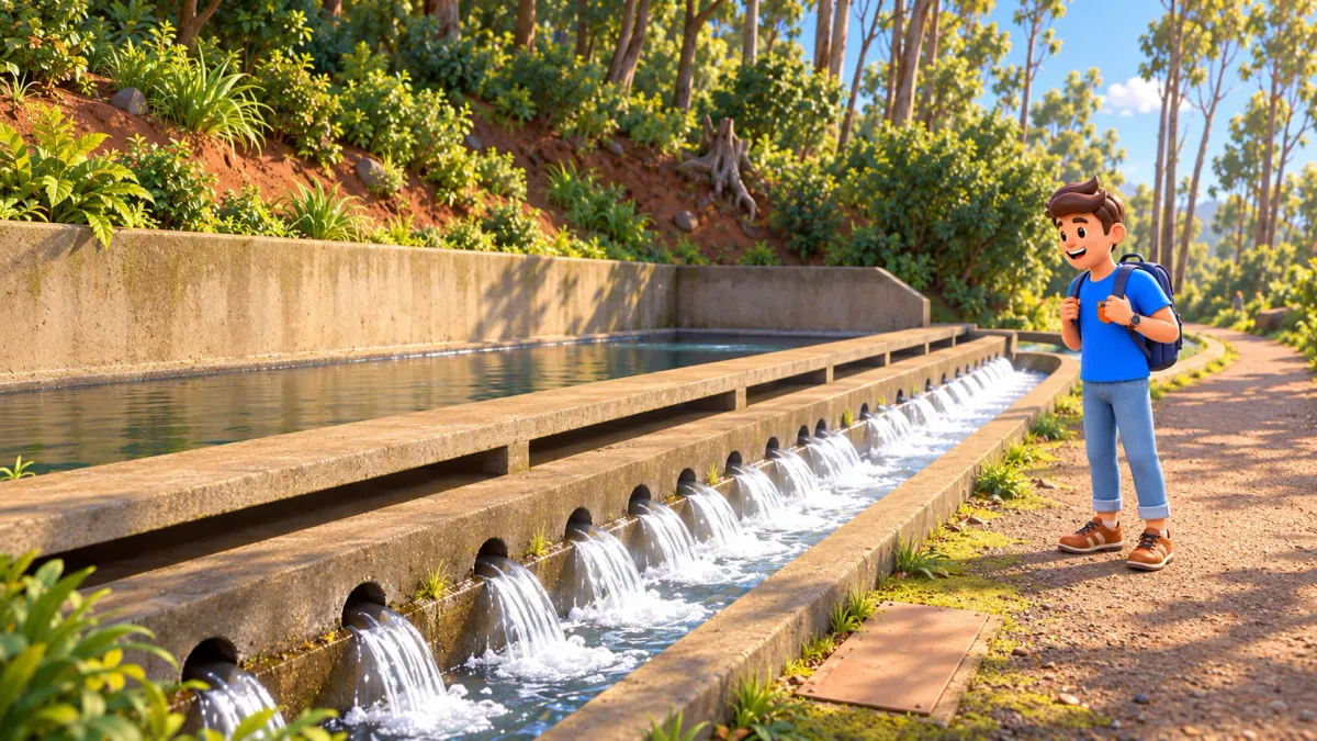
Hiking in Madeira can mean a gentle woodland outing, a long day beside an irrigation channel or an exposed mountain crossing. Those experiences appear together in beautiful photographs, but they demand very different preparation. The useful question is not which trail is most famous: it is which landscape, effort and access conditions suit your group on the day you intend to walk.
This guide explains how to compare Madeira’s levadas and veredas, read the official trail status, understand SIMplifica reservations and choose realistic examples. Access arrangements and prices below were checked on 26 October 2026. Mountain conditions can change after that check, so the final decision belongs immediately before your outing.
How to choose a Madeira hike without overcommitting
Start with the complete outing: walking distance including the return, ascent and descent, exposure, tunnels, daylight and the journey to both ends. Then check the exact PR number and official status. Only after those checks should you reserve a place where required. A paid booking does not mean that a route is safe for your abilities or open regardless of weather.
For the city part of your holiday, RoadMe makes planning much easier: in supported cities it builds a complete personalised programme around your interests, available time and preferred pace, leaving you more energy for the experiences you came for.
A levada is a water channel; the walking path may run alongside it. A vereda is a path, often with more obvious changes in height. Neither word is a difficulty guarantee. A nearly level channel can have narrow edges and steep drops, while a short path may involve steps that feel demanding on the return. Look at the actual description rather than choosing by the name alone.
If you are new to walking, use our guide to preparing for a first day hike before comparing Madeira’s famous photographs. A comfortable first outing gives you useful information about your footwear, pace and tolerance of heights; an ambitious first day can consume the energy intended for the rest of the trip.
Four different landscapes, four different decisions
| What you want | An example to research | What needs checking |
|---|---|---|
| A shorter forest outing and viewpoint | PR 11, Vereda dos Balcões | Full return distance, surface and current access |
| Water, vegetation and a longer valley walk | PR 6, Levada das 25 Fontes | Return climb, complete distance and separate nearby trails |
| Open volcanic coastal scenery | PR 8, Ponta de São Lourenço | Wind, sun exposure and the current restricted sections |
| A high mountain crossing | PR 1, Areeiro–Ruivo | Direction restrictions, weather, selected ticket and exit transport |
These are comparisons, not a recommended sequence or a list to complete during one holiday. Choose one landscape that interests you and one level of effort that leaves a margin. Two walkers can cover the same distance and have opposite experiences if one enjoys heights and the other feels anxious on an exposed section.

Where to check whether a trail is open
Use the IFCN list of classified walking routes and its trail notices, together with the matching Visit Madeira page. Match the PR number, full name and section: the same area can contain several routes with different conditions. Search results and old travel articles may retain an attractive description long after an official restriction has changed.
Read the details behind an “open” or “restricted” label. Restricted can mean a diversion or a section available only as far as a named point; it does not always mean the whole walk is closed. Equally, a partially open route does not authorise you to complete its closed continuation. On the ground, follow official barriers and current instructions rather than a line saved on an old map.
A weather warning and a formal closure are related but different pieces of information. Do not assume that every warning automatically closes every trail; do not assume that the absence of a closure makes exposed walking sensible. Wind, visibility, rain and your group’s ability still need a separate assessment. A guide or operator can help interpret local conditions without cancelling those official limits.
Check when planning, again before travelling to the start and on arrival. That does not require repeatedly searching dozens of blogs: it requires returning to the responsible authority’s current notice. If the wording or endpoint is unclear, resolve that uncertainty before beginning. “The reservation system let me pay” is not an answer to a sign closing the path.
SIMplifica: reservations and charges in 2026
The reservation and fee system applies to the classified trails managed by IFCN that are included in it. It should not be described as a charge for every path on the island. Some walks fall outside that management or classification, so the exact route determines the procedure. SIMplifica is the official online booking channel; arrange your entry before starting.
Reservations use 30-minute entry slots and capacity limits. Choose a time that includes the journey to the start, not simply the time you hope to leave your accommodation. A full slot is a capacity limit rather than an invitation to arrive without booking. The absence of a route from the portal also needs checking: it may be closed or outside that system.
For an individual booking, the general charge is €4.50 per person, except for the distinct PR 1 arrangements. The shorter PR 1 option as far as Pedra Rija and back also costs €4.50. The full PR 1 crossing to Pico Ruivo costs €10.50 and includes the specified PR 1.1, PR 1.2 and PR 1.3 access charges where those connections are open. This is not an unlimited pass for every trail.
Children aged 12 or under are exempt from payment but still need registration and booking. Fee exemption does not remove the reservation requirement for other qualifying categories either. Enter the actual people walking and retain any required proof of entitlement; do not remove a child from the party just because their admission is free.
The access charge does not automatically provide parking, a guide, equipment, a transfer or a return shuttle. Check those services separately when comparing an independent visit with a commercial excursion. A transport-only offer and a guided walk with its access arrangements included are different products, even if their advertising uses the same trail name.
PR 1: why the direction and the exit matter
The full Areeiro–Ruivo route reopened on 1 May 2026, but older descriptions can still discuss a different access situation. More importantly, the current arrangement is not a freely reversible crossing. The Areeiro–Pedra Rija section allows walking in both directions; beyond Pedra Rija towards Pico Ruivo, the route operates one way from Areeiro to Ruivo.
That distinction changes the whole day. Do not buy the full crossing on the assumption that you will simply retrace the ridge back to a parked car. You need to understand the authorised continuation and your exit, such as the appropriate connection towards Achada do Teixeira or Ilha, and arrange transport to match it. IFCN does not provide your return journey as part of admission.
Do not treat every connecting line on a map as an available exit. Partial reopening of PR 1.3 is not proof that the full connection through to Encumeada is usable. Check the specific section and endpoint instead of turning a partially available connection into a through-route. This guide deliberately does not give navigational instructions for those mountain junctions.

Balcões and 25 Fontes: compare the return, not just the headline
PR 11, Vereda dos Balcões, follows the Levada da Serra do Faial from Ribeiro Frio towards its viewpoint. The official description gives 1.5 km each way, or 3 km for the return outing, with an indicative time of 1 hour 30 minutes and an easy classification. It can be a more manageable introduction than a long mountain crossing, provided its current conditions suit you.
“Easy” remains an assessment of that trail, not a promise that every visitor can use it with a pushchair or that every surface is suitable for reduced mobility. Consider recent rain, footing and how comfortable your companions are near edges. Time at a viewpoint and pauses also sit outside the simple idea of covering a distance.
PR 6, Levada das 25 Fontes, is a different commitment: the official description gives 4.3 km outward and 4.3 km back, or 8.6 km in total, with a moderate classification and an indicative three hours. The approach includes descent and the return involves regaining height. A path beside water should not be sold to your group as a flat stroll simply because it follows a levada for part of the experience.
Nearby PR 6.1, Risco, is a separate trail with a different destination. Being in the same Rabaçal area does not automatically make it the same walk, the same reserved entry or an effortless addition. If comparing alternatives there, check each PR number and its access arrangement before deciding whether you have time and energy for more than one.
São Lourenço and Caldeirão Verde need different preparation
PR 8, Vereda da Ponta de São Lourenço, offers a more open, volcanic and relatively dry coastal landscape than Madeira’s wooded levadas. There is little tree cover to rely on for shade. Wind, sun and your water supply therefore matter in a different way from a sheltered forest outing. An island holiday does not imply mild conditions on every headland.
At the October 2026 check, PR 8 was listed as restricted, with minor diversions marked on the ground. Follow the current arrows and instructions; do not describe it as either fully closed or entirely unchanged. Its attraction is the coastal setting, not the chance to force a planned track past a temporary barrier.
PR 9, Levada do Caldeirão Verde, belongs to a different landscape and a longer outing. The waterworks have an eighteenth-century history connected with supplying farmland around Faial, so the channel is useful infrastructure as well as scenery. Respect it rather than stepping into the water or treating the walls as a photographic platform.
Check the endpoint particularly carefully on PR 9. The current official page includes the continuation towards Caldeirão do Inferno in its distance information, while older guides may quote a shorter outing under the familiar Caldeirão Verde name. Decide which endpoint is actually described, whether that section is open and how the full return affects your day. Do not combine a short number from one source with a longer destination from another.
Tunnels are another reason to read the specific description: a suitable headlamp frees your hands, while a phone light may be awkward to manage. If confined spaces or exposed edges trouble a companion, discuss that before reserving. A trail does not become suitable because everyone else in an online review appeared comfortable.
Transport, equipment and the margin that protects the day
A return-to-start walk and a point-to-point crossing need different transport plans. Confirm the actual trailhead, the end point, the last useful connection and any parking rules. Do not assume that a scheduled arrival at a nearby village drops you beside the start, or that a taxi will be waiting at a remote finish without an arrangement.
Allow for pauses and your slowest companion. Official walking times help compare trails, but do not include every photograph, a queue at a narrow section or your own fatigue. Give your return or pickup a realistic buffer and communicate your plan to someone who is not on the walk. Avoid relying on uninterrupted mobile reception.

It is easier to enjoy the active days when the rest of the holiday is organised too. In supported cities, RoadMe turns your interests and pace into a complete personalised trip plan, so culture, meals and relaxed exploration fit together naturally.
What to do if the trail closes after booking
Separate an authority-imposed closure or restriction on your booked date from a personal cancellation. IFCN’s process allows a refund or rescheduling request for the qualifying official access situation. It does not generally cover a changed mind, an incorrectly selected date, illness, a missed flight or weather you personally dislike without the relevant official restriction.
The stated request period is ten working days from the booked date. Keep the booking and payment records and follow the authority’s requested procedure; a refund is not an instant promise at the trailhead. Most importantly, do not use the possibility of losing a fee as a reason to continue when the outing is unsuitable.
For the broader distinction between advance booking, entry rules and permission to visit, see our guide to national park permits and reservations. Madeira’s particular trail rules still govern the walk you choose, but understanding those separate questions prevents many avoidable booking mistakes.
A final check before leaving
- The PR number, endpoint and permitted direction match the outing you intended.
- The official current notice allows that section, and the weather suits your group.
- The distance includes the return or an organised exit, with enough daylight and energy.
- Everyone is correctly included in the reservation where required, including exempt children.
- You have the appropriate equipment and a realistic way back from the actual finish.
If one answer is uncertain, choose a less demanding alternative or resolve it before departure. Madeira offers forest, coast and mountains without requiring every visitor to tackle its most exposed crossing. A well-chosen hike leaves you with time to notice the landscape rather than spending the outing trying to recover from an overambitious booking.