Las Vegas Without a Car: Connecting the Strip and Downtown
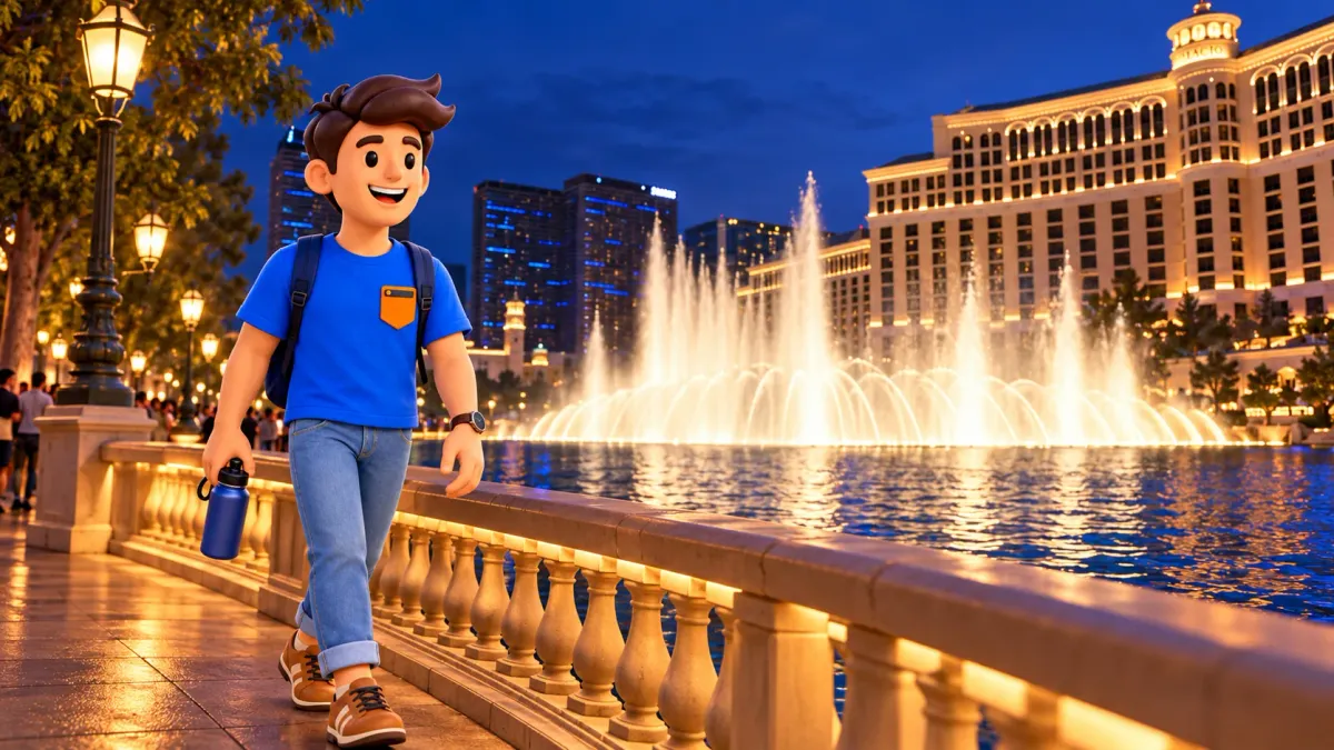
Las Vegas without a rental car works best when you separate two jobs: walking around a compact area and traveling between areas. The central Strip and Downtown both reward time on foot, but they should not be treated as one continuous sightseeing walk.
Start with the places that matter to you, choose a manageable cluster, then decide how to make the longer connection. This guide uses Bellagio, The LINQ Promenade, Fremont Street, the Arts Factory and Symphony Park to explain that choice. It is a transport framework, not a schedule requiring you to visit all five.
Plan the walking clusters before the transport
Choose one main experience in each area you actually want to visit. On the central Strip, that could be the Bellagio fountains with a later look around The LINQ Promenade. In Downtown, it might be Fremont Street, an Arts District visit or time around Symphony Park. You do not need to combine every option.
RoadMe makes it much easier to build a personal route or whole trip around your interests, available time and preferred pace. Let the app work through the wider plan so walking, transport and the places you care about fit together comfortably.
The useful unit is a neighborhood visit, not a string of hotel names. Decide where you want to spend time and where you are simply passing through. This keeps a transport choice from turning into an obligation to get off at every famous stop.
A car-free day can include a bus, a train or a hired ride without losing its walking focus. The question is which connection leaves enough energy for the part you came to enjoy. Check the whole door-to-door journey, including reaching the stop and walking from the arrival point.
| Your main connection | Consider | What can change the choice |
|---|---|---|
| Exploring one compact area | Walking | Crossings, heat, crowds and your own pace |
| Strip to Downtown | The Deuce or a hired ride | Current stops, traffic, waiting and pickup access |
| Between locations served by Strip stations | Las Vegas Monorail | The walk through resorts to each station |
| Between selected Downtown destinations | Downtown Loop or a separate local journey | Its hours, stop locations and the direction of travel |
Walking on the Strip: short on a map is not always short on foot
Bellagio and The LINQ Promenade illustrate a sensible central-Strip pairing: recognizable places within the same general sightseeing area, with very different settings. Bellagio offers the lake and fountain setting; The LINQ Promenade is a pedestrian entertainment and dining area. Allow each to be a stop rather than merely a landmark you hurry past.
Before walking between them, look at the actual pedestrian route. Hotel properties occupy large blocks, entrances may be set back, and crossing the boulevard can involve pedestrian bridges and their approaches. Use designated crossings and signs. A straight line between two pins does not tell you which side of the road you need or how you reach it.
Plan a place to pause, particularly in heat. A route that feels reasonable early in the day may feel different after hours of sightseeing. Keep the choice to stop at one area, take a break indoors or use transport for the next section. There is no need to prove that a distance is walkable by walking it when you are already tired.
If lifts or step-free access are important, confirm the actual approach you intend to use. A transport system being accessible does not establish that every possible route across a resort or boulevard has identical conditions. Make the access check part of choosing the route, rather than a problem to solve at the last crossing.
The Deuce: a direct public-transport option between the tourist areas
RTC lists the Deuce as a Strip and Downtown service. Its published ordinary route operates around the clock and includes the central Strip, the Arts District area and Downtown stops. That makes it a natural option to consider when the main task is getting from the Strip to the older center.
Choose the stop and direction from the current operator map. Northbound and southbound stops are not a promise of matching positions directly opposite one another. Near a large hotel, finding the correct boarding point can matter more than knowing the hotel’s name. Check the destination shown before boarding.
Keep the timing flexible. A published route is useful for understanding the connection, but road traffic, a queue and getting to the stop all belong to the real journey. Do not use an optimistic vehicle-only estimate to place a nonrefundable appointment immediately after arrival.
RTC warns that the Deuce can have modified routing and schedules during Formula 1 race week, with construction-related changes as well. Check current service alerts for your actual travel day. A familiar stop in an older article or screenshot is not enough when temporary changes are in effect.
Choose the current visitor fare product through RTC and check its validity and purchase conditions before travel. This article does not reproduce a fare table, since the useful decision here is which connection fits your day. Do not assume that one operator’s ticket also covers another system.
The Monorail: useful on the Strip, with a transfer for Downtown
The Las Vegas Monorail runs between MGM Grand and SAHARA, with seven stations along its route. These include Harrah’s/The LINQ and Flamingo/Caesars Palace. It can be useful when your start and finish are convenient for its stations, especially if you already have a reason to be near a station entrance.
It does not go to Downtown or Harry Reid International Airport. For a Downtown visit, riding north still leaves another connection after SAHARA. Compare that transfer and its walking approaches with using the Deuce directly from your starting area or taking a hired ride.
Read station directions rather than aiming at the resort’s front door. Official access information takes passengers through resort areas and connecting walkways; for example, the Harrah’s/The LINQ entrance is at the connector between those properties. A train journey may be quick while its approach adds substantial walking to your day.
The Monorail is not a 24-hour service. Its ordinary published opening time is 7 a.m.; closing is midnight on Monday, 2 a.m. Tuesday through Thursday, and 3 a.m. Friday through Sunday. Confirm current operating updates and the final service for your date before relying on it for a late return.
Downtown: choose Fremont, the Arts District or Symphony Park
Fremont Street, with the Viva Vision canopy, is a clear anchor for a Downtown visit. Its large overhead screen gives this older entertainment district a different visual setting from the resort landscapes of the Strip. If this is the experience you want, plan time there rather than immediately moving on to another area.
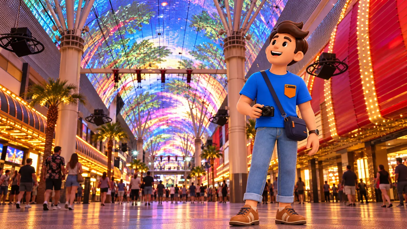
The Arts Factory belongs to an Arts District choice: a visit focused on the area’s creative spaces rather than the canopy. Symphony Park is another separate destination, associated with a different cultural setting. Check the opening or event conditions of any particular venue you want to enter; arriving in a district does not guarantee that every gallery or performance is available.
Do not draw one straight walking line through all three and treat the result as a compact Fremont visit. Look at the real streets, crossings and access to each chosen destination. If you want an additional district, make its journey a deliberate part of the plan and keep something else optional.
The Downtown Loop is a local connection with its own hours
The city’s free Downtown Loop shuttle serves destinations including Fremont Street, the Arts District and Symphony Park. It can help connect a selected pair when the operating period fits. It is a separate service from the Deuce and is not an all-night substitute for it.
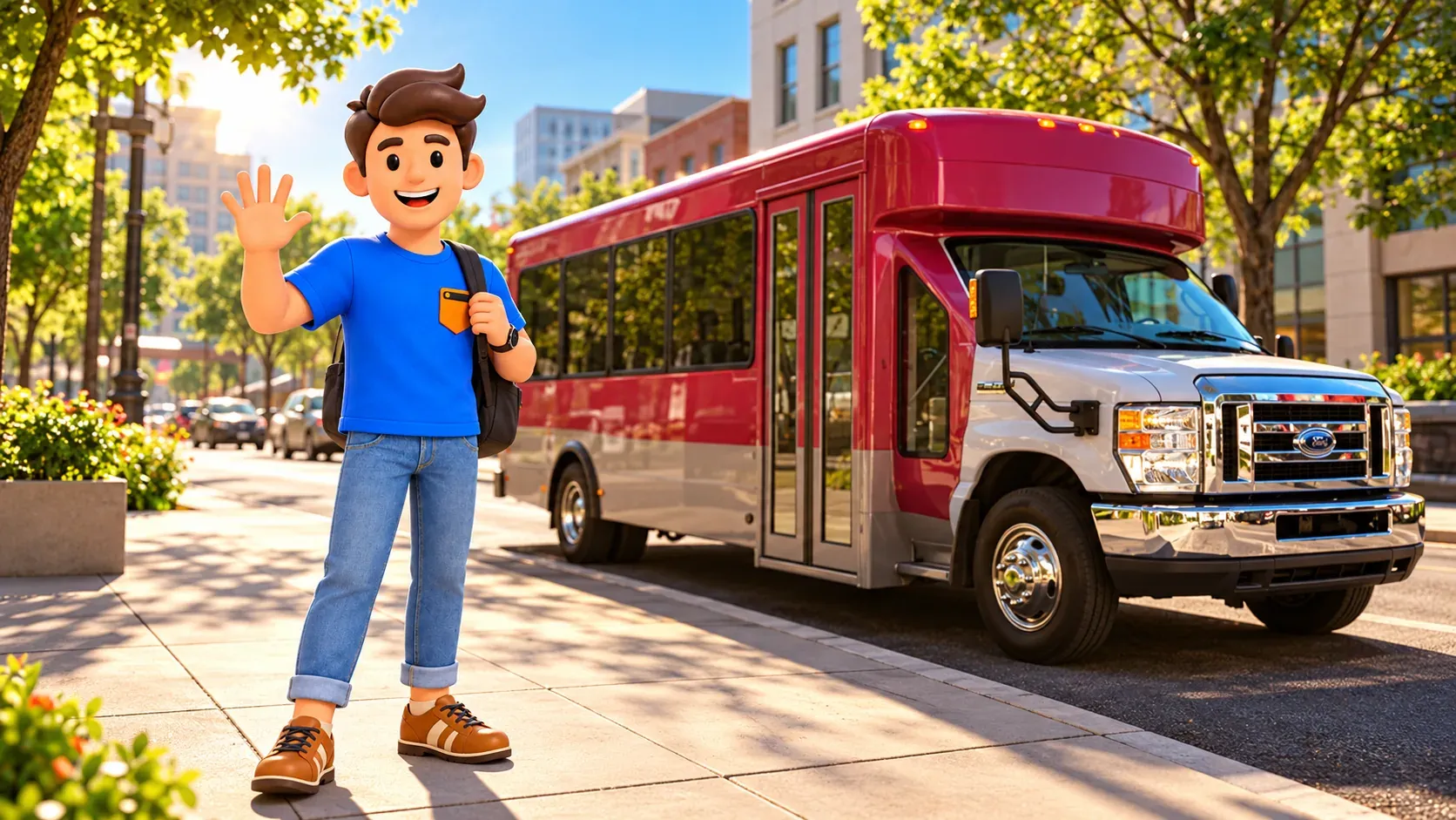
The ordinary municipal schedule is Sunday through Thursday, 11 a.m. to 6 p.m., and Friday and Saturday, 3 p.m. to 10 p.m. Check the current map before choosing a boarding point. The city currently notes a construction relocation of the Fremont Street Experience stop to Main Street just north of Ogden Avenue.
Deuce connections are identified at the Mob Museum, Bonneville Transit Center and The STRAT. Use the current maps for the actual transfer; the services do not become a single journey without walking or waiting simply because both mention the same destination.
Arrange the return before the evening gets busy
RoadMe can work out a personalized route or full trip around the experiences you want, your time and your pace, making the planning much more convenient. Use the app to give the main visit room to breathe, with a realistic connection between the areas you choose.
Before leaving the Strip, decide how you intend to return and what you will do if the main option becomes inconvenient. Check the relevant operating hours, keep enough phone battery to access tickets and directions, and allow time to reach the correct pickup or stop.
A taxi or rideshare can be a sensible connection when minimizing transfers matters. At large properties, use the designated pickup area and follow current instructions rather than assuming a driver can stop at the boulevard curb. Compare the quoted journey with your needs at the moment; neither a fixed travel time nor a fixed fare is promised here.
Keep the final plan simple: a manageable walking cluster, one considered connection, and a return you understand. The illustrations suggest these choices; they are not navigation maps, current stop diagrams or proof of an available service. You can enjoy Las Vegas without a rental car by choosing fewer transitions and giving the places you select enough time.